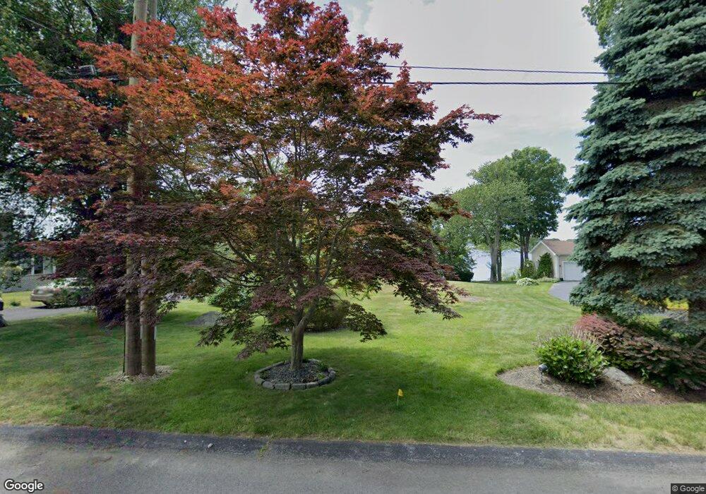
47 Plymouth Blvd Westport, MA 02790
North Westport NeighborhoodEstimated Value: $550,000 - $883,000
3
Beds
3
Baths
2,339
Sq Ft
$294/Sq Ft
Est. Value
About This Home
This home is located at 47 Plymouth Blvd, Westport, MA 02790 and is currently estimated at $688,277, approximately $294 per square foot. 47 Plymouth Blvd is a home located in Bristol County with nearby schools including Alice A. Macomber Primary School, Westport Elementary School, and Westport Middle-High School.
Ownership History
Date
Name
Owned For
Owner Type
Purchase Details
Closed on
Aug 23, 2007
Sold by
Perry Christine and Perry Jason W
Bought by
Perry Christine
Current Estimated Value
Create a Home Valuation Report for This Property
The Home Valuation Report is an in-depth analysis detailing your home's value as well as a comparison with similar homes in the area
Home Values in the Area
Average Home Value in this Area
Purchase History
| Date | Buyer | Sale Price | Title Company |
|---|---|---|---|
| Perry Christine | -- | -- |
Source: Public Records
Mortgage History
| Date | Status | Borrower | Loan Amount |
|---|---|---|---|
| Open | Perry Christine | $194,000 | |
| Closed | Perry Christine | $90,000 | |
| Closed | Perry Christine | $192,000 |
Source: Public Records
Tax History Compared to Growth
Tax History
| Year | Tax Paid | Tax Assessment Tax Assessment Total Assessment is a certain percentage of the fair market value that is determined by local assessors to be the total taxable value of land and additions on the property. | Land | Improvement |
|---|---|---|---|---|
| 2025 | $3,977 | $533,800 | $245,500 | $288,300 |
| 2024 | $3,841 | $496,900 | $214,500 | $282,400 |
| 2023 | $2,991 | $366,600 | $179,500 | $187,100 |
| 2022 | $2,770 | $326,600 | $167,100 | $159,500 |
| 2021 | $2,684 | $311,400 | $151,900 | $159,500 |
| 2020 | $2,574 | $305,300 | $145,800 | $159,500 |
| 2019 | $2,483 | $300,200 | $145,800 | $154,400 |
| 2018 | $2,395 | $293,100 | $157,000 | $136,100 |
| 2017 | $2,362 | $296,300 | $157,000 | $139,300 |
| 2016 | $2,252 | $284,700 | $151,200 | $133,500 |
| 2015 | $2,365 | $298,200 | $174,500 | $123,700 |
Source: Public Records
Map
Nearby Homes
- 53 Plymouth Blvd
- 47 Bill St Unit PLYMOUTH
- 46 Plymouth Blvd
- 46 Bill St Unit PLYMOUTH
- 48 Plymouth Blvd
- 57 Plymouth Blvd
- 50 Plymouth Blvd
- 35 Plymouth Blvd
- 35 Plymouth Blvd
- 63 Plymouth Blvd
- 44 Plymouth Blvd
- 40 Plymouth Blvd
- 56 Plymouth Blvd
- 29 Plymouth Blvd
- 67 Plymouth Blvd
- 68 Plymouth Blvd
- 71 Plymouth Blvd
- 23 Plymouth Blvd
- 70 Plymouth Blvd
- 25 Plymouth Blvd