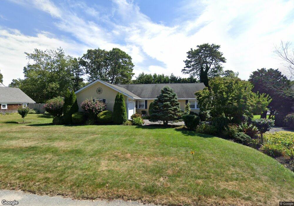
47 Pompano Rd Yarmouth Port, MA 02675
Yarmouth Port NeighborhoodEstimated Value: $655,964 - $789,000
3
Beds
2
Baths
1,560
Sq Ft
$452/Sq Ft
Est. Value
About This Home
This home is located at 47 Pompano Rd, Yarmouth Port, MA 02675 and is currently estimated at $705,491, approximately $452 per square foot. 47 Pompano Rd is a home located in Barnstable County with nearby schools including Dennis-Yarmouth Regional High School, St. Pius X. School, and Trinity Christian Academy of Cape Cod.
Ownership History
Date
Name
Owned For
Owner Type
Purchase Details
Closed on
Nov 28, 2007
Sold by
Blocher Pompano Road R and Blocher M Bruce
Bought by
Larouco Maria and Larouco Maria D
Current Estimated Value
Home Financials for this Owner
Home Financials are based on the most recent Mortgage that was taken out on this home.
Original Mortgage
$250,000
Interest Rate
6.48%
Mortgage Type
Purchase Money Mortgage
Purchase Details
Closed on
Nov 25, 1996
Sold by
Ewing Ft and Ewing Robert S
Bought by
Blocher M Bruce and Blocher Nancy J
Create a Home Valuation Report for This Property
The Home Valuation Report is an in-depth analysis detailing your home's value as well as a comparison with similar homes in the area
Home Values in the Area
Average Home Value in this Area
Purchase History
| Date | Buyer | Sale Price | Title Company |
|---|---|---|---|
| Larouco Maria | $345,000 | -- | |
| Blocher M Bruce | $140,000 | -- |
Source: Public Records
Mortgage History
| Date | Status | Borrower | Loan Amount |
|---|---|---|---|
| Open | Blocher M Bruce | $246,000 | |
| Closed | Blocher M Bruce | $248,000 | |
| Closed | Larouco Maria | $250,000 |
Source: Public Records
Tax History Compared to Growth
Tax History
| Year | Tax Paid | Tax Assessment Tax Assessment Total Assessment is a certain percentage of the fair market value that is determined by local assessors to be the total taxable value of land and additions on the property. | Land | Improvement |
|---|---|---|---|---|
| 2025 | $4,242 | $599,100 | $165,700 | $433,400 |
| 2024 | $4,001 | $542,100 | $144,100 | $398,000 |
| 2023 | $3,928 | $484,300 | $131,000 | $353,300 |
| 2022 | $4,070 | $443,400 | $125,000 | $318,400 |
| 2021 | $3,772 | $394,600 | $125,000 | $269,600 |
| 2020 | $3,669 | $366,900 | $132,300 | $234,600 |
| 2019 | $3,359 | $332,600 | $132,300 | $200,300 |
| 2018 | $3,195 | $310,500 | $110,200 | $200,300 |
| 2017 | $3,111 | $310,500 | $110,200 | $200,300 |
| 2016 | $3,011 | $301,700 | $101,400 | $200,300 |
| 2015 | $2,828 | $281,700 | $97,000 | $184,700 |
Source: Public Records
Map
Nearby Homes
- 86 Pompano Rd
- 1 Barnacle Rd
- 43 Canterbury Rd
- 44 Stratford Ln
- 25 Oak Glen
- 25 Oak Glen Village Unit 25
- 34 Kates Path
- 34 Kates Path Unit 34
- 2 Pine Grove
- 17 Kates Path Unit A
- 7 Forest Gate Unit 7
- 228 Kates Path
- 64 Kates Path
- 8 Rowley Ln
- 30 W Woods Cir Unit 30
- 30 W Woods
- 50 John Hall Cartway
- 50 John Hall Cartway Unit 50
- 42 John Hall Cartway Unit 42
- 6 Nimble Hill Dr