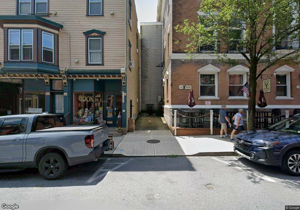
47 Race St Jim Thorpe, PA 18229
Estimated Value: $177,936 - $297,000
--
Bed
--
Bath
--
Sq Ft
2,265
Sq Ft Lot
About This Home
This home is located at 47 Race St, Jim Thorpe, PA 18229 and is currently estimated at $260,234. 47 Race St is a home located in Carbon County with nearby schools including Jim Thorpe Area High School and Sts. Peter & Paul School.
Ownership History
Date
Name
Owned For
Owner Type
Purchase Details
Closed on
Apr 4, 2014
Sold by
Markris Realty Llc
Bought by
White Lite Enterprises Llc
Current Estimated Value
Purchase Details
Closed on
Dec 14, 2009
Sold by
Northfield Restaurant Group Llc
Bought by
Markris Realty Llc
Purchase Details
Closed on
Jul 26, 2005
Sold by
Markris Realty Llc
Bought by
Northfield Restaurant Group Llc
Home Financials for this Owner
Home Financials are based on the most recent Mortgage that was taken out on this home.
Original Mortgage
$525,000
Interest Rate
7%
Mortgage Type
Purchase Money Mortgage
Create a Home Valuation Report for This Property
The Home Valuation Report is an in-depth analysis detailing your home's value as well as a comparison with similar homes in the area
Home Values in the Area
Average Home Value in this Area
Purchase History
| Date | Buyer | Sale Price | Title Company |
|---|---|---|---|
| White Lite Enterprises Llc | $103,000 | None Available | |
| Markris Realty Llc | $1,860 | None Available | |
| Northfield Restaurant Group Llc | $375,000 | None Available |
Source: Public Records
Mortgage History
| Date | Status | Borrower | Loan Amount |
|---|---|---|---|
| Previous Owner | Northfield Restaurant Group Llc | $525,000 |
Source: Public Records
Tax History Compared to Growth
Tax History
| Year | Tax Paid | Tax Assessment Tax Assessment Total Assessment is a certain percentage of the fair market value that is determined by local assessors to be the total taxable value of land and additions on the property. | Land | Improvement |
|---|---|---|---|---|
| 2025 | $2,859 | $36,019 | $4,603 | $31,416 |
| 2024 | $2,751 | $36,019 | $4,603 | $31,416 |
| 2023 | $2,701 | $36,019 | $4,603 | $31,416 |
| 2022 | $2,657 | $36,019 | $4,603 | $31,416 |
| 2021 | $2,657 | $36,019 | $4,603 | $31,416 |
| 2020 | $2,565 | $36,019 | $4,603 | $31,416 |
| 2019 | $2,493 | $36,019 | $4,603 | $31,416 |
| 2018 | $2,438 | $36,019 | $4,603 | $31,416 |
| 2017 | $2,365 | $36,019 | $4,603 | $31,416 |
| 2016 | -- | $36,019 | $4,603 | $31,416 |
| 2015 | -- | $36,019 | $4,603 | $31,416 |
| 2014 | -- | $75,397 | $4,603 | $70,794 |
Source: Public Records
Map
Nearby Homes
- 23 Race St
- 23-25 Race St
- 65 Race St
- 118 South Ave
- 95 Center Ave
- 131 W Broadway
- 223 North Ave
- 622 Center Ave
- 11 E Front St
- 115 Center St
- 59 W Front St
- 732 Center Ave
- 0 N Dr Unit PM-116531
- 218 Center St
- 226 Fern St
- A591 Apple Lane & Stony Mountain
- 394 Flagstaff Rd
- 431 South St
- 432 Center St
- 15 W 5th St Unit 17