47 Red Robin Rd Naugatuck, CT 06770
Estimated Value: $351,000 - $402,000
3
Beds
2
Baths
1,440
Sq Ft
$264/Sq Ft
Est. Value
About This Home
This home is located at 47 Red Robin Rd, Naugatuck, CT 06770 and is currently estimated at $380,345, approximately $264 per square foot. 47 Red Robin Rd is a home located in New Haven County with nearby schools including City Hill Middle School and Naugatuck High School.
Ownership History
Date
Name
Owned For
Owner Type
Purchase Details
Closed on
Feb 11, 2003
Sold by
Daigle Michael J and Daigle Jan C
Bought by
Daigle Michael J
Current Estimated Value
Purchase Details
Closed on
Mar 27, 1989
Sold by
Dirienzo Christiana
Bought by
Daigle Michael
Create a Home Valuation Report for This Property
The Home Valuation Report is an in-depth analysis detailing your home's value as well as a comparison with similar homes in the area
Home Values in the Area
Average Home Value in this Area
Purchase History
| Date | Buyer | Sale Price | Title Company |
|---|---|---|---|
| Daigle Michael J | $26,000 | -- | |
| Daigle Michael | $139,000 | -- |
Source: Public Records
Mortgage History
| Date | Status | Borrower | Loan Amount |
|---|---|---|---|
| Closed | Daigle Michael | $25,000 | |
| Closed | Daigle Michael | $165,133 | |
| Closed | Daigle Michael | $58,000 |
Source: Public Records
Tax History Compared to Growth
Tax History
| Year | Tax Paid | Tax Assessment Tax Assessment Total Assessment is a certain percentage of the fair market value that is determined by local assessors to be the total taxable value of land and additions on the property. | Land | Improvement |
|---|---|---|---|---|
| 2025 | $7,802 | $196,070 | $32,900 | $163,170 |
| 2024 | $8,194 | $196,070 | $32,900 | $163,170 |
| 2023 | $8,774 | $196,070 | $32,900 | $163,170 |
| 2022 | $6,313 | $132,210 | $34,900 | $97,310 |
| 2021 | $6,313 | $132,210 | $34,900 | $97,310 |
| 2020 | $6,272 | $131,360 | $34,900 | $96,460 |
| 2019 | $6,207 | $131,360 | $34,900 | $96,460 |
| 2018 | $6,110 | $126,360 | $44,640 | $81,720 |
| 2017 | $6,135 | $126,360 | $44,640 | $81,720 |
| 2016 | $6,024 | $126,360 | $44,640 | $81,720 |
| 2015 | $5,758 | $126,360 | $44,640 | $81,720 |
| 2014 | $5,694 | $126,360 | $44,640 | $81,720 |
| 2012 | $5,809 | $173,150 | $53,260 | $119,890 |
Source: Public Records
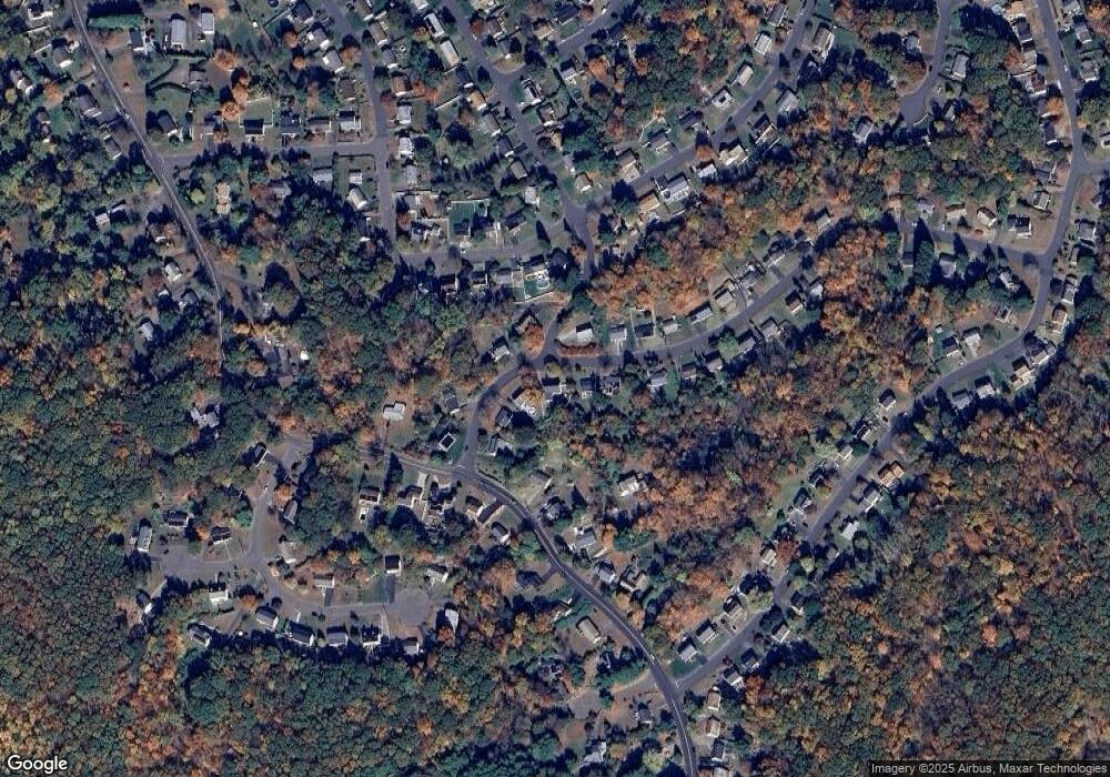
Map
Nearby Homes
- 236 Bluebird Dr
- 418 Horton Hill Rd
- 93 Tawny Thrush Rd
- Lot #9 Morning Dove Rd Unit Lot 9
- Lot 9II Morning Dove Rd
- 157 Bluebird Dr
- 108 Clark Rd Unit TRLR 85
- 39 Horton Hill Rd Unit 10A
- 39 Horton Hill Rd Unit 9B
- 1405 New Haven Rd
- 21 Longwood Dr
- 31 Warm Earth Rd
- 30 Warm Earth Rd
- 57 Warm Earth Rd
- 805 Maple Hill Rd
- 73 Warm Earth Rd
- 43 Margaret Cir
- 34 Pear Tree Dr
- 28 Margaret Cir
- 55 Trout Brook Dr
- 33 Red Robin Rd
- 57 Red Robin Rd
- 25 Red Robin Rd
- 65 Red Robin Rd
- 285 Horton Hill Rd
- 13 Red Robin Rd
- 56 Red Robin Rd
- 6 Meadow Lark Rd
- 38 Red Robin Rd
- 68 Red Robin Rd
- 277 Horton Hill Rd
- 281 Horton Hill Rd
- 77 Red Robin Rd
- 22 Red Robin Rd
- 6 Red Robin Rd
- 76 Red Robin Rd
- 251 Tawny Thrush Rd
- 251 Tawny Rd
- 421 Tawny Thrush Rd
- 279 Horton Hill Rd