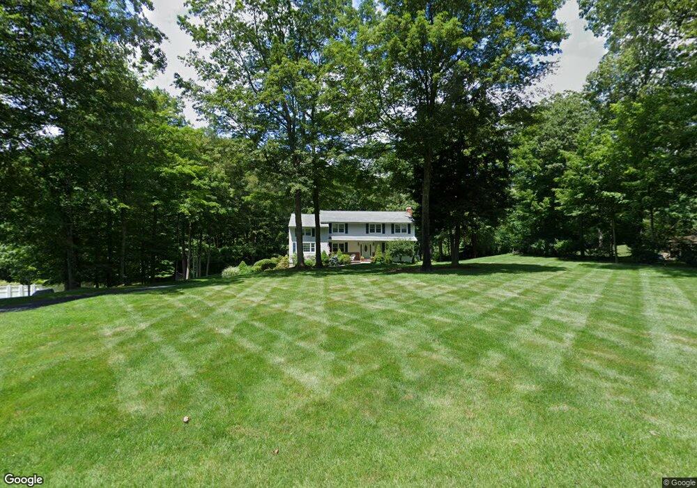
47 Remington Rd Ridgefield, CT 06877
Estimated Value: $1,211,000 - $1,312,000
5
Beds
3
Baths
2,936
Sq Ft
$427/Sq Ft
Est. Value
About This Home
This home is located at 47 Remington Rd, Ridgefield, CT 06877 and is currently estimated at $1,254,899, approximately $427 per square foot. 47 Remington Rd is a home located in Fairfield County with nearby schools including Veterans Park Elementary School, Ridgefield High School, and St. Mary School.
Ownership History
Date
Name
Owned For
Owner Type
Purchase Details
Closed on
Mar 25, 1991
Sold by
Bishopp Weller and Bishopp Valerie
Bought by
Manno Lawrence and Manno Elizabeth
Current Estimated Value
Home Financials for this Owner
Home Financials are based on the most recent Mortgage that was taken out on this home.
Original Mortgage
$185,000
Interest Rate
9.27%
Mortgage Type
Unknown
Create a Home Valuation Report for This Property
The Home Valuation Report is an in-depth analysis detailing your home's value as well as a comparison with similar homes in the area
Home Values in the Area
Average Home Value in this Area
Purchase History
| Date | Buyer | Sale Price | Title Company |
|---|---|---|---|
| Manno Lawrence | $360,000 | -- |
Source: Public Records
Mortgage History
| Date | Status | Borrower | Loan Amount |
|---|---|---|---|
| Closed | Manno Lawrence | $185,000 |
Source: Public Records
Tax History Compared to Growth
Tax History
| Year | Tax Paid | Tax Assessment Tax Assessment Total Assessment is a certain percentage of the fair market value that is determined by local assessors to be the total taxable value of land and additions on the property. | Land | Improvement |
|---|---|---|---|---|
| 2025 | $15,726 | $574,140 | $315,000 | $259,140 |
| 2024 | $15,129 | $574,140 | $315,000 | $259,140 |
| 2023 | $14,819 | $574,140 | $315,000 | $259,140 |
| 2022 | $13,059 | $459,340 | $226,800 | $232,540 |
| 2021 | $12,958 | $459,340 | $226,800 | $232,540 |
| 2020 | $12,917 | $459,340 | $226,800 | $232,540 |
| 2019 | $12,917 | $459,340 | $226,800 | $232,540 |
| 2018 | $12,760 | $459,340 | $226,800 | $232,540 |
| 2017 | $13,678 | $502,680 | $227,300 | $275,380 |
| 2016 | $13,417 | $502,680 | $227,300 | $275,380 |
| 2015 | $12,152 | $467,190 | $227,300 | $239,890 |
| 2014 | $12,152 | $467,190 | $227,300 | $239,890 |
Source: Public Records
Map
Nearby Homes
- 71 Peaceable Ridge Rd
- 2 Westmoreland Rd
- 35 Ramapoo Rd
- 0 Salem Rd S
- 27 Catoonah St
- 9 Ashwood Rd
- 452 Silver Spring Rd
- 75A New St
- 75 New St
- 0 Pound St Unit 113831
- 0 Pound St
- 84 Olmstead Ln
- 230 Spring St
- 33 N Salem Rd
- 88 Main St
- 105 Olcott Way Unit 105
- 8 Stebbins Close Unit 8
- 27 Country Club Rd
- 9 Cook Close
- 75 Lawson Ln