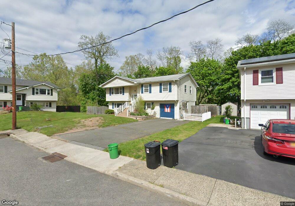
47 Rhoda Ave Haverstraw, NY 10927
Estimated Value: $582,000 - $699,000
5
Beds
2
Baths
1,248
Sq Ft
$509/Sq Ft
Est. Value
About This Home
This home is located at 47 Rhoda Ave, Haverstraw, NY 10927 and is currently estimated at $635,770, approximately $509 per square foot. 47 Rhoda Ave is a home located in Rockland County with nearby schools including Haverstraw Elementary School, West Haverstraw Elementary School, and Fieldstone Secondary School.
Ownership History
Date
Name
Owned For
Owner Type
Purchase Details
Closed on
May 29, 1998
Sold by
Munoz Maria M
Bought by
Munoz Maria M and Mendez Leidy R
Current Estimated Value
Purchase Details
Closed on
Dec 5, 1996
Sold by
Munoz Maria M and Mendez Leidy R
Bought by
Munoz Maria M
Purchase Details
Closed on
Aug 16, 1996
Sold by
Citibank N A
Bought by
Munoz Maria M and Mendez Leidy R
Home Financials for this Owner
Home Financials are based on the most recent Mortgage that was taken out on this home.
Original Mortgage
$121,500
Interest Rate
8.4%
Mortgage Type
Construction
Purchase Details
Closed on
Feb 14, 1996
Sold by
Berger Esq Ricki
Bought by
Citibank N A
Create a Home Valuation Report for This Property
The Home Valuation Report is an in-depth analysis detailing your home's value as well as a comparison with similar homes in the area
Home Values in the Area
Average Home Value in this Area
Purchase History
| Date | Buyer | Sale Price | Title Company |
|---|---|---|---|
| Munoz Maria M | -- | Lawyers Title Insurance Corp | |
| Munoz Maria M | -- | Lawyers Title Insurance Corp | |
| Munoz Maria M | $135,000 | -- | |
| Citibank N A | $127,500 | -- |
Source: Public Records
Mortgage History
| Date | Status | Borrower | Loan Amount |
|---|---|---|---|
| Previous Owner | Munoz Maria M | $121,500 |
Source: Public Records
Tax History Compared to Growth
Tax History
| Year | Tax Paid | Tax Assessment Tax Assessment Total Assessment is a certain percentage of the fair market value that is determined by local assessors to be the total taxable value of land and additions on the property. | Land | Improvement |
|---|---|---|---|---|
| 2024 | $80,885 | $291,800 | $100,100 | $191,700 |
| 2023 | $80,885 | $291,800 | $100,100 | $191,700 |
| 2022 | $3,151 | $291,800 | $100,100 | $191,700 |
| 2021 | $72,868 | $291,800 | $100,100 | $191,700 |
| 2020 | $13,443 | $291,800 | $100,100 | $191,700 |
| 2019 | $3,620 | $291,800 | $100,100 | $191,700 |
| 2018 | $13,074 | $291,800 | $100,100 | $191,700 |
| 2017 | $12,304 | $291,800 | $100,100 | $191,700 |
| 2016 | $14,065 | $291,800 | $100,100 | $191,700 |
| 2015 | -- | $291,800 | $100,100 | $191,700 |
| 2014 | -- | $291,800 | $100,100 | $191,700 |
Source: Public Records
Map
Nearby Homes
- 31 Spring St
- 84 Village Mill Unit 84
- 37 Conklin Ave
- 5 Coyne Dr
- 33 Peck St
- 160 Halgren Crescent
- 25 Wayne Ave
- 5 Peck St
- 59 Hudson Ave
- 22 Ferracane Place
- 165 Gurnee Ave
- 9 W Lincoln St
- 167 Coolidge St
- 24 Partition St
- 60 Hudson Ave
- 63 Westside Ave
- 3 N Wayne Ave
- 10 Kwiecinski St
- 7 N Wayne Ave
- 20 W Broad St