Estimated Value: $460,000 - $684,000
3
Beds
2
Baths
2,016
Sq Ft
$259/Sq Ft
Est. Value
About This Home
This home is located at 47 Rindge Rd, Union, CT 06076 and is currently estimated at $521,816, approximately $258 per square foot. 47 Rindge Rd is a home located in Tolland County with nearby schools including Union Elementary School.
Ownership History
Date
Name
Owned For
Owner Type
Purchase Details
Closed on
Nov 29, 2016
Sold by
Hooper Judith E
Bought by
Hooper Judith E
Current Estimated Value
Purchase Details
Closed on
Nov 24, 2010
Sold by
Carver Bradley J and Shanahan James M
Bought by
Hooper Judith E
Purchase Details
Closed on
Jun 7, 2005
Sold by
Maller Chris
Bought by
Carver Bradley and Shanahan James
Home Financials for this Owner
Home Financials are based on the most recent Mortgage that was taken out on this home.
Original Mortgage
$359,650
Interest Rate
5.83%
Mortgage Type
Purchase Money Mortgage
Create a Home Valuation Report for This Property
The Home Valuation Report is an in-depth analysis detailing your home's value as well as a comparison with similar homes in the area
Home Values in the Area
Average Home Value in this Area
Purchase History
| Date | Buyer | Sale Price | Title Company |
|---|---|---|---|
| Hooper Judith E | -- | -- | |
| Hooper Judith E | $425,000 | -- | |
| Carver Bradley | $425,000 | -- |
Source: Public Records
Mortgage History
| Date | Status | Borrower | Loan Amount |
|---|---|---|---|
| Previous Owner | Carver Bradley | $232,000 | |
| Previous Owner | Carver Bradley | $359,650 | |
| Previous Owner | Carver Bradley | $112,850 |
Source: Public Records
Tax History Compared to Growth
Tax History
| Year | Tax Paid | Tax Assessment Tax Assessment Total Assessment is a certain percentage of the fair market value that is determined by local assessors to be the total taxable value of land and additions on the property. | Land | Improvement |
|---|---|---|---|---|
| 2025 | $6,590 | $278,290 | $57,660 | $220,630 |
| 2024 | $6,339 | $278,290 | $57,660 | $220,630 |
| 2023 | $6,217 | $219,290 | $52,650 | $166,640 |
| 2022 | $6,107 | $219,290 | $52,650 | $166,640 |
| 2021 | $6,272 | $219,290 | $52,650 | $166,640 |
| 2020 | $6,106 | $210,610 | $43,970 | $166,640 |
| 2019 | $6,514 | $210,610 | $43,970 | $166,640 |
| 2018 | $6,338 | $203,790 | $50,240 | $153,550 |
| 2017 | $6,285 | $203,790 | $50,240 | $153,550 |
| 2015 | $5,986 | $202,220 | $50,240 | $151,980 |
| 2014 | $5,864 | $202,220 | $50,240 | $151,980 |
Source: Public Records
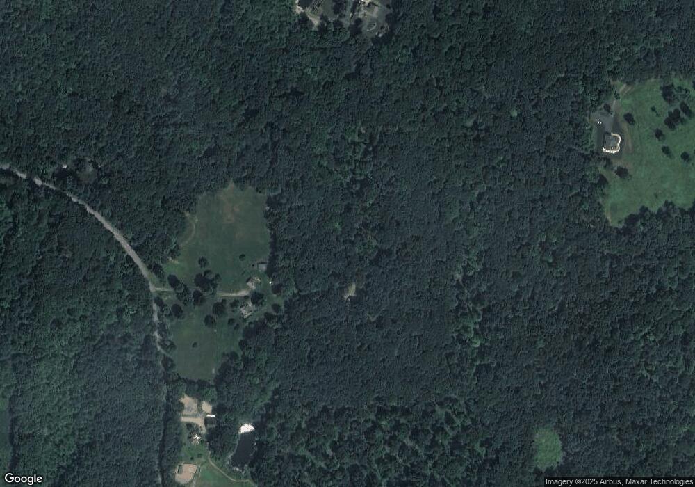
Map
Nearby Homes
- 1820 Route 197
- 0 Rr 197 Rd
- 381 Bungay Hill Rd
- 29 Crooked Trail Extension
- 19 Hiawatha Heights
- 10 Laurel Hill Dr
- 23 Little Bungee Hill Rd
- 60 Indian Spring Rd
- 56 Laurel Hill Dr
- 70 Laurel Hill Dr
- 0 Hemlock Dr
- 30 Lyon Rd
- 80 Bungay Hill Rd
- 278 Child Rd
- 8 Nahaco Hill Ln
- 0 Aplin Hill Ln
- 4 Perrin Rd
- Lot 0 Kozey Rd
- 5 Nahaco Hill Ln
- 145 Perrin Rd