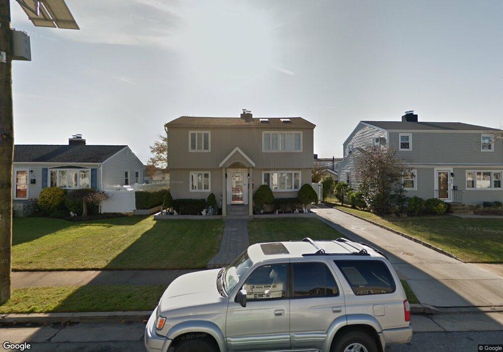
47 Robert St Freeport, NY 11520
Estimated Value: $651,000 - $721,000
Studio
2
Baths
1,689
Sq Ft
$403/Sq Ft
Est. Value
About This Home
This home is located at 47 Robert St, Freeport, NY 11520 and is currently estimated at $680,647, approximately $402 per square foot. 47 Robert St is a home located in Nassau County with nearby schools including Columbus Avenue School, Caroline G. Atkinson Intermediate School, and John W Dodd Middle School.
Ownership History
Date
Name
Owned For
Owner Type
Purchase Details
Closed on
Nov 28, 2008
Sold by
Andreyev Luz
Bought by
Hernandez German R
Current Estimated Value
Purchase Details
Closed on
May 26, 2000
Sold by
Larenas Steve
Bought by
Hernandez German
Purchase Details
Closed on
Feb 1, 1998
Purchase Details
Closed on
Aug 10, 1996
Sold by
Larenas Steve and Larenas Manuel
Bought by
Larenas Steve and Larenas Manuel
Home Financials for this Owner
Home Financials are based on the most recent Mortgage that was taken out on this home.
Original Mortgage
$141,100
Interest Rate
8.28%
Purchase Details
Closed on
Jul 11, 1996
Sold by
Picone Robert
Bought by
Larenas Steve and Larenas Manuel
Home Financials for this Owner
Home Financials are based on the most recent Mortgage that was taken out on this home.
Original Mortgage
$141,100
Interest Rate
8.28%
Create a Home Valuation Report for This Property
The Home Valuation Report is an in-depth analysis detailing your home's value as well as a comparison with similar homes in the area
Home Values in the Area
Average Home Value in this Area
Purchase History
| Date | Buyer | Sale Price | Title Company |
|---|---|---|---|
| Hernandez German R | -- | The Judicial Title Insurance | |
| Hernandez German | $220,000 | Kenneth M Keith | |
| -- | -- | -- | |
| Larenas Steve | -- | -- | |
| Larenas Steve | $155,000 | -- |
Source: Public Records
Mortgage History
| Date | Status | Borrower | Loan Amount |
|---|---|---|---|
| Previous Owner | Larenas Steve | $141,100 |
Source: Public Records
Tax History
| Year | Tax Paid | Tax Assessment Tax Assessment Total Assessment is a certain percentage of the fair market value that is determined by local assessors to be the total taxable value of land and additions on the property. | Land | Improvement |
|---|---|---|---|---|
| 2025 | $7,340 | $382 | $150 | $232 |
| 2024 | $841 | $382 | $150 | $232 |
| 2023 | $6,753 | $382 | $150 | $232 |
| 2022 | $6,753 | $382 | $150 | $232 |
| 2021 | $9,875 | $366 | $144 | $222 |
| 2020 | $6,721 | $504 | $441 | $63 |
| 2019 | $6,079 | $504 | $388 | $116 |
| 2018 | $5,861 | $573 | $0 | $0 |
| 2017 | $5,496 | $573 | $441 | $132 |
| 2016 | $6,356 | $573 | $441 | $132 |
| 2015 | $828 | $573 | $374 | $199 |
| 2014 | $828 | $573 | $374 | $199 |
| 2013 | $782 | $573 | $374 | $199 |
Source: Public Records
Map
Nearby Homes
- 54 Robert St
- 68 Robert St
- 718 Guy Lombardo Ave
- 766 Guy Lombardo Ave
- 74 Tyler St
- 39 Layton St
- 57 Hubbard Ave
- 68 Howard Ave
- 16 Layton St
- 67 Howard Ave
- 825 S Ocean Ave Unit 2
- 587 Miller Ave
- 870 Guy Lombardo Ave
- 22 Wilshire Ct
- 54 Ocean Watch Ct
- 470 Miller Ave
- 268 Gordon Place
- 433 Miller Ave
- 13 Ocean Watch Ct
- 12 Ocean Watch Ct
Your Personal Tour Guide
Ask me questions while you tour the home.