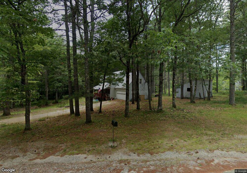
47 S Elkins Brook Rd Fryeburg, ME 04037
Estimated Value: $306,000 - $408,000
3
Beds
2
Baths
1,496
Sq Ft
$242/Sq Ft
Est. Value
About This Home
This home is located at 47 S Elkins Brook Rd, Fryeburg, ME 04037 and is currently estimated at $362,667, approximately $242 per square foot. 47 S Elkins Brook Rd is a home with nearby schools including Molly Ockett School and Molly Ockett Middle School.
Ownership History
Date
Name
Owned For
Owner Type
Purchase Details
Closed on
Apr 11, 2025
Sold by
Adams Connie Est and Leland
Bought by
Mckay Kathleen and Mckay Gavin
Current Estimated Value
Home Financials for this Owner
Home Financials are based on the most recent Mortgage that was taken out on this home.
Original Mortgage
$306,450
Outstanding Balance
$305,118
Interest Rate
6.76%
Mortgage Type
VA
Estimated Equity
$57,549
Create a Home Valuation Report for This Property
The Home Valuation Report is an in-depth analysis detailing your home's value as well as a comparison with similar homes in the area
Home Values in the Area
Average Home Value in this Area
Purchase History
| Date | Buyer | Sale Price | Title Company |
|---|---|---|---|
| Mckay Kathleen | $300,000 | None Available | |
| Mckay Kathleen | $300,000 | None Available |
Source: Public Records
Mortgage History
| Date | Status | Borrower | Loan Amount |
|---|---|---|---|
| Open | Mckay Kathleen | $306,450 | |
| Closed | Mckay Kathleen | $306,450 |
Source: Public Records
Tax History Compared to Growth
Tax History
| Year | Tax Paid | Tax Assessment Tax Assessment Total Assessment is a certain percentage of the fair market value that is determined by local assessors to be the total taxable value of land and additions on the property. | Land | Improvement |
|---|---|---|---|---|
| 2024 | $3,067 | $0 | $0 | $0 |
| 2023 | $3,067 | $185,900 | $31,100 | $154,800 |
| 2022 | $0 | $0 | $0 | $0 |
| 2021 | $2,881 | $185,900 | $31,100 | $154,800 |
| 2020 | $1,383 | $185,900 | $31,100 | $154,800 |
| 2019 | $1,383 | $182,283 | $44,960 | $137,323 |
| 2018 | $3,217 | $182,283 | $44,960 | $137,323 |
| 2017 | $3,026 | $182,283 | $44,960 | $137,323 |
| 2016 | $1,338 | $182,283 | $44,960 | $137,323 |
| 2015 | $2,917 | $182,283 | $44,960 | $137,323 |
| 2014 | $2,935 | $182,283 | $44,960 | $137,323 |
Source: Public Records
Map
Nearby Homes
- 67 Belair Estate Rd
- 67 Belair Estate Rd Unit 16
- 1376 Bridgton Rd
- Map20Lot19 Carter Hill Rd
- 952 Denmark Rd
- 20B-1 Moran Rd
- 18 Mountain Rd Unit 4
- Lot 4H Davids View
- 144 Kezar Heights
- 97 Kezar Heights
- 5 Elk Ln
- 30 Blue Jay Ln
- 11 Campbell Dr
- 14 Top Hill Rd
- 14 Trailside Way
- 14 Trailside Way Unit 14
- 12 Brewster Cir Unit 12
- 6 E Pinnacle Rd Unit 6
- 99 Moose Pond Dr
- 62-B Long Pond Dr
- Lot 10-3 Bakers Cir
- 53 S Elkins Brook Rd
- 57 S South Elkins Brook Rd
- 61 S Elkins Brook Rd
- 12 Baker Cir
- 28 S Elkins Brook Rd
- 3 Baker Cir
- 17 Baker Cir
- 19 Baker Cir
- 20 S Elkins Brook Rd
- 0 Carter Hill Rd Unit 539579
- 0 Carter Hill Rd Unit 4159932
- 0 Carter Hill Rd Unit 265389
- 0 Carter Hill Rd Unit 259566
- 0 Carter Hill Rd Unit 1055198
- 16 S Elkins Brook Rd
- 16 S Elkins Brook Rd
- 57 Carter Hill Rd
- 103 Sanborn Rd
- 3 Heather Cir