47 S Maple St Bellingham, MA 02019
Estimated Value: $7,371,662
--
Bed
--
Bath
50,186
Sq Ft
$147/Sq Ft
Est. Value
About This Home
This home is located at 47 S Maple St, Bellingham, MA 02019 and is currently estimated at $7,371,662, approximately $146 per square foot. 47 S Maple St is a home located in Norfolk County with nearby schools including Stall Brook Elementary School, Bellingham High School, and Mendon Mennonite School.
Ownership History
Date
Name
Owned For
Owner Type
Purchase Details
Closed on
May 10, 2010
Sold by
Trotter Drive Llc
Bought by
South Maple Street 47
Current Estimated Value
Home Financials for this Owner
Home Financials are based on the most recent Mortgage that was taken out on this home.
Original Mortgage
$1,261,000
Outstanding Balance
$844,370
Interest Rate
5.03%
Mortgage Type
Commercial
Estimated Equity
$6,527,292
Purchase Details
Closed on
Jul 3, 2007
Sold by
Mar Smaple Street Rt and Mann
Bought by
Trotter Drive Llc
Purchase Details
Closed on
Apr 19, 1994
Sold by
Nfi Acquisition Inc
Bought by
Mar S Maple Rt
Create a Home Valuation Report for This Property
The Home Valuation Report is an in-depth analysis detailing your home's value as well as a comparison with similar homes in the area
Home Values in the Area
Average Home Value in this Area
Purchase History
| Date | Buyer | Sale Price | Title Company |
|---|---|---|---|
| South Maple Street 47 | $3,200,000 | -- | |
| South Maple Street 47 | $3,200,000 | -- | |
| Trotter Drive Llc | $3,000,000 | -- | |
| Trotter Drive Llc | $3,000,000 | -- | |
| Mar S Maple Rt | $1,000,000 | -- | |
| Mar S Maple Rt | $1,000,000 | -- |
Source: Public Records
Mortgage History
| Date | Status | Borrower | Loan Amount |
|---|---|---|---|
| Open | South Maple Street 47 | $1,261,000 | |
| Closed | Mar S Maple Rt | $1,250,000 | |
| Closed | Mar S Maple Rt | $1,261,000 |
Source: Public Records
Tax History Compared to Growth
Tax History
| Year | Tax Paid | Tax Assessment Tax Assessment Total Assessment is a certain percentage of the fair market value that is determined by local assessors to be the total taxable value of land and additions on the property. | Land | Improvement |
|---|---|---|---|---|
| 2025 | $77,976 | $4,013,200 | $840,500 | $3,172,700 |
| 2024 | $72,413 | $3,910,000 | $824,800 | $3,085,200 |
| 2023 | $70,677 | $3,806,000 | $785,500 | $3,020,500 |
| 2022 | $71,157 | $3,543,700 | $736,500 | $2,807,200 |
| 2021 | $70,137 | $3,408,000 | $736,500 | $2,671,500 |
| 2020 | $70,410 | $3,421,300 | $781,000 | $2,640,300 |
| 2019 | $69,683 | $3,371,200 | $781,000 | $2,590,200 |
| 2018 | $67,050 | $3,222,000 | $743,800 | $2,478,200 |
| 2017 | $65,446 | $3,158,600 | $743,800 | $2,414,800 |
| 2016 | $63,524 | $3,077,700 | $753,300 | $2,324,400 |
| 2015 | $63,001 | $3,077,700 | $753,300 | $2,324,400 |
| 2014 | $53,445 | $2,984,100 | $724,300 | $2,259,800 |
Source: Public Records
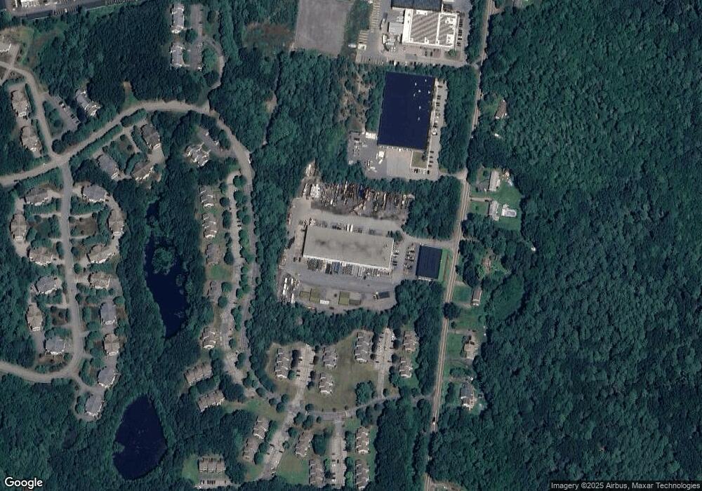
Map
Nearby Homes
- 106 Maple Brook Rd Unit 106
- 203 Old Bridge Ln Unit 203
- 1303 Old Bridge Ln Unit 1303
- 501 Old Bridge Ln Unit 501
- 156 Mechanic St
- 7 Debra Ln
- 9 Debra Ln
- 5 Debra Ln
- 79 Blackstone St
- 71 Oxford Dr
- 1136 S Main St
- 11 Silver Ave
- 19 Geordan Ave
- 20 Bertine St
- 52 James St
- 120 Stone Ridge Rd Unit 120
- 39 3rd Ave
- 975 S Main St
- 109 Stone Ridge Rd Unit 109
- 14 Stonehedge Rd
- 112 Maple Brook Rd
- 110 Maple Brook Rd
- 108 Maple Brook Rd
- 104 Maple Brook Rd
- 102 Maple Brook Rd
- 112 Maple Brook Rd Unit 112
- 108 Maple Brook Rd Unit 108
- 112 Maple Brook Rd
- 104 Maple Brook Rd Unit 104,3
- 106 Maple Brook Rd
- 106 Maple Brook Rd Unit 106,2
- 315 Maple Brook Rd
- 313 Maple Brook Rd
- 311 Maple Brook Rd
- 309 Maple Brook Rd
- 115 Maple Brook Rd
- 111 Maple Brook Rd
- 109 Maple Brook Rd
- 113 Maple Brook Rd
- 113 Maple Brook Rd Unit 113