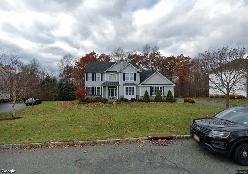
47 Saunders Ln Hackettstown, NJ 07840
Estimated Value: $716,597 - $846,000
Studio
--
Bath
2,541
Sq Ft
$314/Sq Ft
Est. Value
About This Home
This home is located at 47 Saunders Ln, Hackettstown, NJ 07840 and is currently estimated at $797,399, approximately $313 per square foot. 47 Saunders Ln is a home located in Morris County with nearby schools including Mt Olive Middle School and Mount Olive High School.
Ownership History
Date
Name
Owned For
Owner Type
Purchase Details
Closed on
Sep 18, 2006
Sold by
Larsen Joel
Bought by
Drew Adam and Drew Meredith
Current Estimated Value
Home Financials for this Owner
Home Financials are based on the most recent Mortgage that was taken out on this home.
Original Mortgage
$470,000
Outstanding Balance
$294,789
Interest Rate
7.5%
Mortgage Type
Adjustable Rate Mortgage/ARM
Estimated Equity
$502,610
Purchase Details
Closed on
Sep 29, 2003
Bought by
Larsen Cheri and Larsen Joel
Create a Home Valuation Report for This Property
The Home Valuation Report is an in-depth analysis detailing your home's value as well as a comparison with similar homes in the area
Home Values in the Area
Average Home Value in this Area
Purchase History
| Date | Buyer | Sale Price | Title Company |
|---|---|---|---|
| Drew Adam | $587,500 | -- | |
| Larsen Cheri | $492,425 | -- |
Source: Public Records
Mortgage History
| Date | Status | Borrower | Loan Amount |
|---|---|---|---|
| Open | Drew Adam | $470,000 |
Source: Public Records
Tax History
| Year | Tax Paid | Tax Assessment Tax Assessment Total Assessment is a certain percentage of the fair market value that is determined by local assessors to be the total taxable value of land and additions on the property. | Land | Improvement |
|---|---|---|---|---|
| 2025 | $15,735 | $451,500 | $154,300 | $297,200 |
| 2024 | $14,841 | $451,500 | $154,300 | $297,200 |
| 2023 | $14,841 | $451,500 | $154,300 | $297,200 |
| 2022 | $15,161 | $451,500 | $154,300 | $297,200 |
| 2021 | $15,161 | $451,500 | $154,300 | $297,200 |
| 2020 | $14,958 | $451,500 | $154,300 | $297,200 |
| 2019 | $14,909 | $451,500 | $154,300 | $297,200 |
| 2018 | $14,764 | $451,500 | $154,300 | $297,200 |
| 2017 | $14,507 | $451,500 | $154,300 | $297,200 |
| 2016 | $14,046 | $451,500 | $154,300 | $297,200 |
| 2015 | $14,376 | $451,500 | $154,300 | $297,200 |
| 2014 | $14,389 | $451,500 | $154,300 | $297,200 |
Source: Public Records
Map
Nearby Homes
- 20 Mine Hill Rd
- 88 Sowers Dr
- 62 Sowers Dr
- 40 Helms Mill Rd
- 15 Dorset Dr
- 50 Drakestown Rd
- 2 Brock Ln
- 96 Winding Hill Dr
- 19 Indian Ln
- 0 Reservoir Rd
- 103 Cindy Terrace
- 64 Dayton Ct Unit 104
- 00 Russling Rd
- 220 Harvard Dr
- 335 Carnegie Ct
- 189 Kemper Ct
- 3-A Old Bilby Rd
- 74 U S 46
- 2401 Decatur Ct
- 1403 Moonlight Ct
- 49 Saunders Ln
- 51 Saunders Ln
- 38 Saunders Ln
- 40 Saunders Ln
- 36 Saunders Ln
- 53 Saunders Ln
- 42 Saunders Ln
- 41 Saunders Ln
- 34 Saunders Ln
- 44 Saunders Ln
- 55 Saunders Ln
- 39 Saunders Ln
- 32 Saunders Ln
- 46 Saunders Ln
- 57 Saunders Ln
- 37 Saunders Ln
- 30 Saunders Ln
- 40 Mine Hill Rd
- 35 Saunders Ln
- 59 Saunders Ln
Your Personal Tour Guide
Ask me questions while you tour the home.