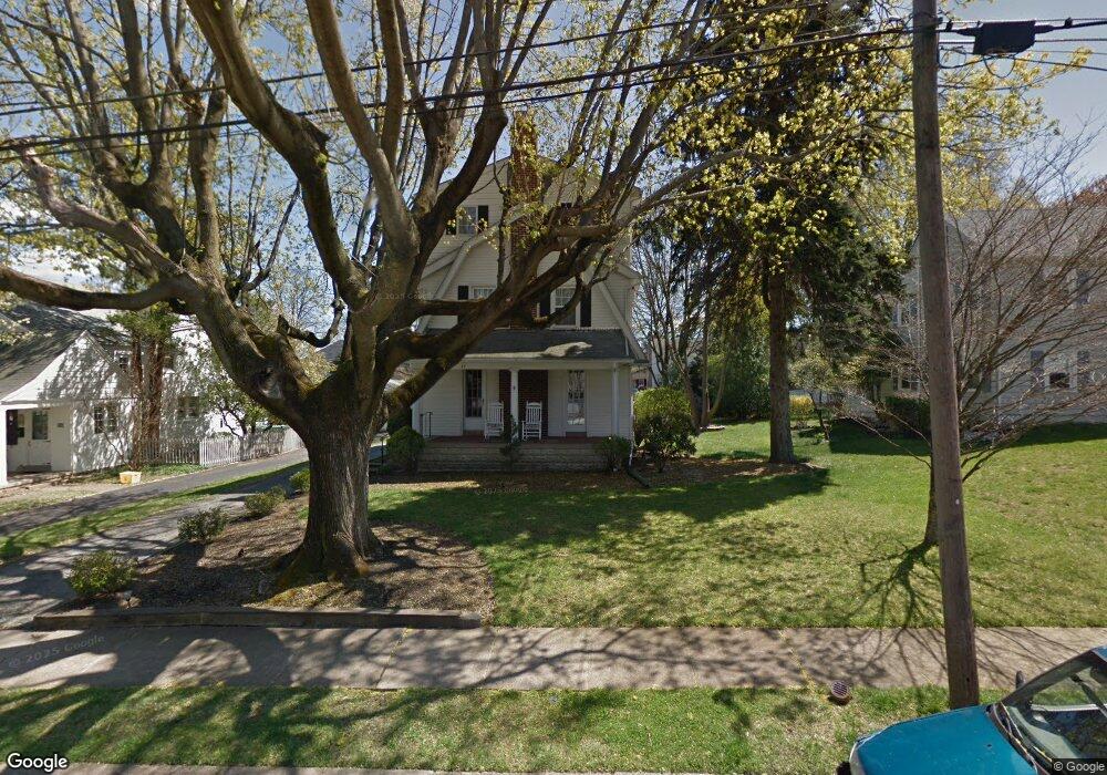
47 Shelburne Rd Springfield, PA 19064
Estimated Value: $443,000 - $549,000
3
Beds
3
Baths
2,160
Sq Ft
$233/Sq Ft
Est. Value
About This Home
This home is located at 47 Shelburne Rd, Springfield, PA 19064 and is currently estimated at $503,910, approximately $233 per square foot. 47 Shelburne Rd is a home located in Delaware County with nearby schools including Springfield High School, St Francis Of Assisi School, and Holy Cross School.
Ownership History
Date
Name
Owned For
Owner Type
Purchase Details
Closed on
Jun 16, 2021
Sold by
Hill Timothy and Hill Jacqueline
Bought by
Hill Timothy
Current Estimated Value
Home Financials for this Owner
Home Financials are based on the most recent Mortgage that was taken out on this home.
Original Mortgage
$230,000
Outstanding Balance
$191,810
Interest Rate
2.96%
Mortgage Type
New Conventional
Estimated Equity
$312,100
Purchase Details
Closed on
Jun 26, 2003
Sold by
Odonnell Lois S and Odonnell Wear Karen
Bought by
Odonnell Wear Karen
Purchase Details
Closed on
Jun 20, 2002
Sold by
Lobb Michael D and Lobb Jill L
Bought by
Odonnell Lois S and Odonnell Wear Karen M
Home Financials for this Owner
Home Financials are based on the most recent Mortgage that was taken out on this home.
Original Mortgage
$199,920
Interest Rate
6.92%
Create a Home Valuation Report for This Property
The Home Valuation Report is an in-depth analysis detailing your home's value as well as a comparison with similar homes in the area
Home Values in the Area
Average Home Value in this Area
Purchase History
| Date | Buyer | Sale Price | Title Company |
|---|---|---|---|
| Hill Timothy | -- | Inspire Closing Services Llc | |
| Odonnell Wear Karen | -- | -- | |
| Odonnell Lois S | $249,900 | -- |
Source: Public Records
Mortgage History
| Date | Status | Borrower | Loan Amount |
|---|---|---|---|
| Open | Hill Timothy | $230,000 | |
| Closed | Odonnell Lois S | $199,920 |
Source: Public Records
Tax History
| Year | Tax Paid | Tax Assessment Tax Assessment Total Assessment is a certain percentage of the fair market value that is determined by local assessors to be the total taxable value of land and additions on the property. | Land | Improvement |
|---|---|---|---|---|
| 2025 | $7,492 | $266,540 | $96,020 | $170,520 |
| 2024 | $7,492 | $266,540 | $96,020 | $170,520 |
| 2023 | $7,214 | $266,540 | $96,020 | $170,520 |
| 2022 | $7,058 | $266,540 | $96,020 | $170,520 |
| 2021 | $10,930 | $266,540 | $96,020 | $170,520 |
| 2020 | $6,580 | $145,200 | $46,160 | $99,040 |
| 2019 | $6,425 | $145,200 | $46,160 | $99,040 |
| 2018 | $6,333 | $145,200 | $0 | $0 |
| 2017 | $6,187 | $145,200 | $0 | $0 |
| 2016 | $797 | $145,200 | $0 | $0 |
| 2015 | $797 | $145,200 | $0 | $0 |
| 2014 | $797 | $145,200 | $0 | $0 |
Source: Public Records
Map
Nearby Homes
- 111 Forest Rd
- 147 Snyder Ln
- 606 W Springfield Rd
- 120 W Springfield Rd
- 31 Wayfield Rd
- 364 S Rolling Rd
- 641 W Sproul Rd
- 501 Flora Cir
- 226 Lynbrooke Rd
- 29 School Ln
- 227 E Leamy Ave
- 19 Wayne Ave
- 34 Schuyler Rd
- 220 N Rolling Rd
- 493 Wheatsheaf Rd
- 332 Franklin Ave
- 464 Conard Dr
- 516 Beatty Rd
- 173 Hillview Dr
- 412 N Rolling Rd
Your Personal Tour Guide
Ask me questions while you tour the home.