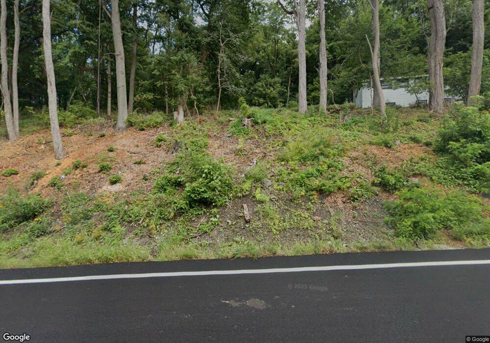
47 State Route 67 Eagle Bridge, NY 12057
Estimated Value: $368,000 - $410,000
4
Beds
2
Baths
1,770
Sq Ft
$223/Sq Ft
Est. Value
About This Home
This home is located at 47 State Route 67, Eagle Bridge, NY 12057 and is currently estimated at $393,879, approximately $222 per square foot. 47 State Route 67 is a home located in Washington County with nearby schools including Cambridge Elementary School and Cambridge Junior/Senior High School.
Ownership History
Date
Name
Owned For
Owner Type
Purchase Details
Closed on
Jun 3, 2016
Sold by
Norton John D
Bought by
Moore Charles
Current Estimated Value
Home Financials for this Owner
Home Financials are based on the most recent Mortgage that was taken out on this home.
Original Mortgage
$296,325
Outstanding Balance
$235,919
Interest Rate
3.58%
Mortgage Type
New Conventional
Estimated Equity
$157,960
Purchase Details
Closed on
Oct 13, 2011
Sold by
Norton John
Bought by
Moses William
Create a Home Valuation Report for This Property
The Home Valuation Report is an in-depth analysis detailing your home's value as well as a comparison with similar homes in the area
Home Values in the Area
Average Home Value in this Area
Purchase History
| Date | Buyer | Sale Price | Title Company |
|---|---|---|---|
| Moore Charles | $290,000 | Edward J. Gorman, | |
| Moses William | -- | Erika Sellar Ryan |
Source: Public Records
Mortgage History
| Date | Status | Borrower | Loan Amount |
|---|---|---|---|
| Open | Moore Charles | $296,325 |
Source: Public Records
Tax History
| Year | Tax Paid | Tax Assessment Tax Assessment Total Assessment is a certain percentage of the fair market value that is determined by local assessors to be the total taxable value of land and additions on the property. | Land | Improvement |
|---|---|---|---|---|
| 2024 | $6,262 | $260,059 | $45,000 | $215,059 |
| 2023 | $5,994 | $260,059 | $45,000 | $215,059 |
| 2022 | $6,230 | $277,000 | $45,000 | $232,000 |
| 2021 | $5,710 | $133,500 | $20,100 | $113,400 |
| 2020 | $5,615 | $133,500 | $20,100 | $113,400 |
| 2019 | $5,644 | $133,500 | $20,100 | $113,400 |
| 2018 | $5,644 | $133,500 | $20,100 | $113,400 |
| 2017 | $4,967 | $122,200 | $20,100 | $102,100 |
| 2016 | $5,271 | $122,200 | $20,100 | $102,100 |
| 2015 | -- | $122,200 | $20,100 | $102,100 |
| 2014 | -- | $122,200 | $20,100 | $102,100 |
Source: Public Records
Map
Nearby Homes
- 3909 New York 67
- L15.2 Turnpike Rd
- 19 Center White Creek Ln
- 260 Tate Rd
- L11 Gates Rd
- 3466 New York 67
- 602 Turnpike Rd
- 100 Youngs Rd
- 763 Turnpike Rd
- 53 Cummings St
- 27 Mechanic St
- 46 Albany St
- 31 Saratoga St
- 84 High St
- 5 Scott St Unit 27.14-4-11
- 45 High St
- 26 Lyman St
- 15 Nixon St
- 7 Willow St
- 32 Parsons Ave
- 47 State Route 67
- 47 New York 67
- 35 New York 67
- 39 Ny Rt 67
- 39 New York 67
- 17 State Route 67
- 38 State Route 67
- 38 State Route 67
- 10 Old State Rd
- 6 Old State Rd S
- 503 River Rd
- 501 River Rd
- 0 Old State Rd
- 4 Old State Rd S
- 487 River Rd
- 2 Old State Rd S
- 495 River Rd
- 45 Old State Rd S
- 28 Old State Rd S
- 65 State Route 67
Your Personal Tour Guide
Ask me questions while you tour the home.
