47 Stelling Dr Hurricane, WV 25526
Estimated Value: $322,000 - $513,000
3
Beds
3
Baths
2,845
Sq Ft
$140/Sq Ft
Est. Value
About This Home
This home is located at 47 Stelling Dr, Hurricane, WV 25526 and is currently estimated at $398,577, approximately $140 per square foot. 47 Stelling Dr is a home with nearby schools including Lighthouse Christian Academy and Mountain State Christian School.
Ownership History
Date
Name
Owned For
Owner Type
Purchase Details
Closed on
Mar 22, 2019
Sold by
Harold Herbert J and Harold Nancy L
Bought by
Howard Jennifer Ann
Current Estimated Value
Home Financials for this Owner
Home Financials are based on the most recent Mortgage that was taken out on this home.
Original Mortgage
$294,566
Outstanding Balance
$257,381
Interest Rate
4.3%
Mortgage Type
FHA
Estimated Equity
$141,196
Create a Home Valuation Report for This Property
The Home Valuation Report is an in-depth analysis detailing your home's value as well as a comparison with similar homes in the area
Home Values in the Area
Average Home Value in this Area
Purchase History
| Date | Buyer | Sale Price | Title Company |
|---|---|---|---|
| Howard Jennifer Ann | $300,000 | None Available |
Source: Public Records
Mortgage History
| Date | Status | Borrower | Loan Amount |
|---|---|---|---|
| Open | Howard Jennifer Ann | $294,566 |
Source: Public Records
Tax History
| Year | Tax Paid | Tax Assessment Tax Assessment Total Assessment is a certain percentage of the fair market value that is determined by local assessors to be the total taxable value of land and additions on the property. | Land | Improvement |
|---|---|---|---|---|
| 2025 | $2,180 | $172,440 | $17,100 | $155,340 |
| 2024 | $2,180 | $153,420 | $17,100 | $136,320 |
| 2023 | $1,729 | $147,000 | $17,100 | $129,900 |
| 2022 | $1,755 | $145,560 | $17,100 | $128,460 |
| 2021 | $1,887 | $155,820 | $16,800 | $139,020 |
| 2020 | $1,999 | $165,300 | $18,180 | $147,120 |
| 2019 | $1,668 | $155,820 | $18,180 | $137,640 |
| 2018 | $1,577 | $148,080 | $19,500 | $128,580 |
| 2017 | $1,470 | $138,480 | $13,440 | $125,040 |
| 2016 | $1,390 | $131,400 | $13,440 | $117,960 |
| 2015 | $1,328 | $105,540 | $13,440 | $92,100 |
| 2014 | $1,495 | $118,980 | $15,480 | $103,500 |
Source: Public Records
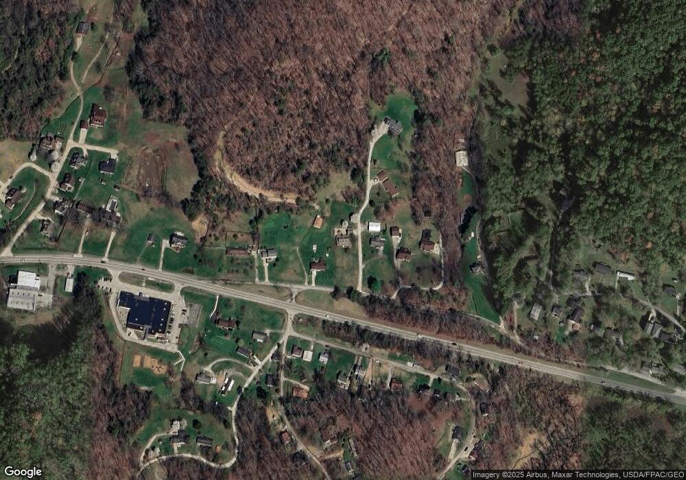
Map
Nearby Homes
- 924 Daniel Boone Trail
- 0 Highway 60
- 926 Midland Trail
- 219 Melrose Dr
- 3 Surrey Dr
- 218 Melrose Dr
- 242 Sand Piper Point
- 509 Hurricane Ct
- 521 Dudding Ave
- 421 Dudding Ave
- 309 Charles Ct
- 308 Charles Ct
- 129 Caroline Cir
- 83 Gavin Ln
- 402 Circle Dr
- 2435 US Route 60
- 322 Grandview Dr
- 202 Pleasant View Dr
- 434 Brook Cir
- 239 Irene Cir
Your Personal Tour Guide
Ask me questions while you tour the home.