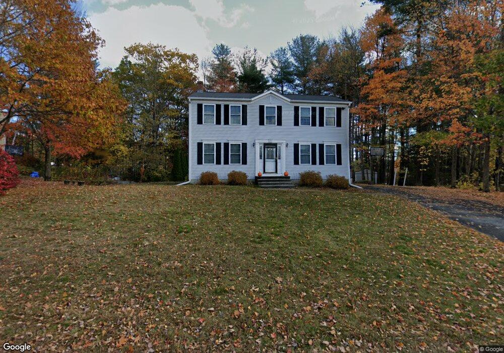
47 Stephanie Dr Gardner, MA 01440
Estimated Value: $357,000 - $419,000
3
Beds
1
Bath
1,136
Sq Ft
$344/Sq Ft
Est. Value
About This Home
This home is located at 47 Stephanie Dr, Gardner, MA 01440 and is currently estimated at $390,858, approximately $344 per square foot. 47 Stephanie Dr is a home located in Worcester County with nearby schools including Gardner High School, Holy Family Academy, and Wachusett Hills Christian School.
Ownership History
Date
Name
Owned For
Owner Type
Purchase Details
Closed on
Feb 3, 1998
Sold by
Morning Rt and Drouin Alan J
Bought by
Allard Lawrence J and Allard Carol A
Current Estimated Value
Home Financials for this Owner
Home Financials are based on the most recent Mortgage that was taken out on this home.
Original Mortgage
$87,375
Interest Rate
7.02%
Mortgage Type
Purchase Money Mortgage
Create a Home Valuation Report for This Property
The Home Valuation Report is an in-depth analysis detailing your home's value as well as a comparison with similar homes in the area
Home Values in the Area
Average Home Value in this Area
Purchase History
| Date | Buyer | Sale Price | Title Company |
|---|---|---|---|
| Allard Lawrence J | $109,220 | -- |
Source: Public Records
Mortgage History
| Date | Status | Borrower | Loan Amount |
|---|---|---|---|
| Open | Allard Lawrence J | $69,000 | |
| Closed | Allard Lawrence J | $87,375 |
Source: Public Records
Tax History
| Year | Tax Paid | Tax Assessment Tax Assessment Total Assessment is a certain percentage of the fair market value that is determined by local assessors to be the total taxable value of land and additions on the property. | Land | Improvement |
|---|---|---|---|---|
| 2025 | $54 | $373,500 | $70,700 | $302,800 |
| 2024 | $5,284 | $352,500 | $64,300 | $288,200 |
| 2023 | $5,116 | $317,200 | $63,400 | $253,800 |
| 2022 | $4,837 | $260,200 | $48,000 | $212,200 |
| 2021 | $4,671 | $233,100 | $41,800 | $191,300 |
| 2020 | $4,189 | $212,200 | $41,800 | $170,400 |
| 2019 | $4,274 | $212,200 | $41,800 | $170,400 |
| 2018 | $4,034 | $199,000 | $41,800 | $157,200 |
| 2017 | $3,903 | $190,600 | $41,800 | $148,800 |
| 2016 | $3,746 | $183,000 | $41,800 | $141,200 |
| 2015 | $3,502 | $175,300 | $41,800 | $133,500 |
| 2014 | $3,323 | $176,100 | $46,400 | $129,700 |
Source: Public Records
Map
Nearby Homes
- 37 Stephanie Dr
- 57 Stephanie Dr
- 144 Pinewood Dr
- 136 Pinewood Dr
- 136 Pinewood Dr Unit 8-A
- 132 Pinewood Dr
- 124 Pinewood Dr
- 29 Stephanie Dr
- 67 Stephanie Dr
- Lot B Stephanie Dr
- Lot A Stephanie Dr
- 151 Pinewood Dr
- 150 Pinewood Dr
- 151 Pinewood Dr Unit 9-B
- 40 Stephanie Dr
- 50 Stephanie Dr
- 34 Stephanie Dr
- 56 Stephanie Dr
- 23 Stephanie Dr
- 141 Pinewood Dr
Your Personal Tour Guide
Ask me questions while you tour the home.