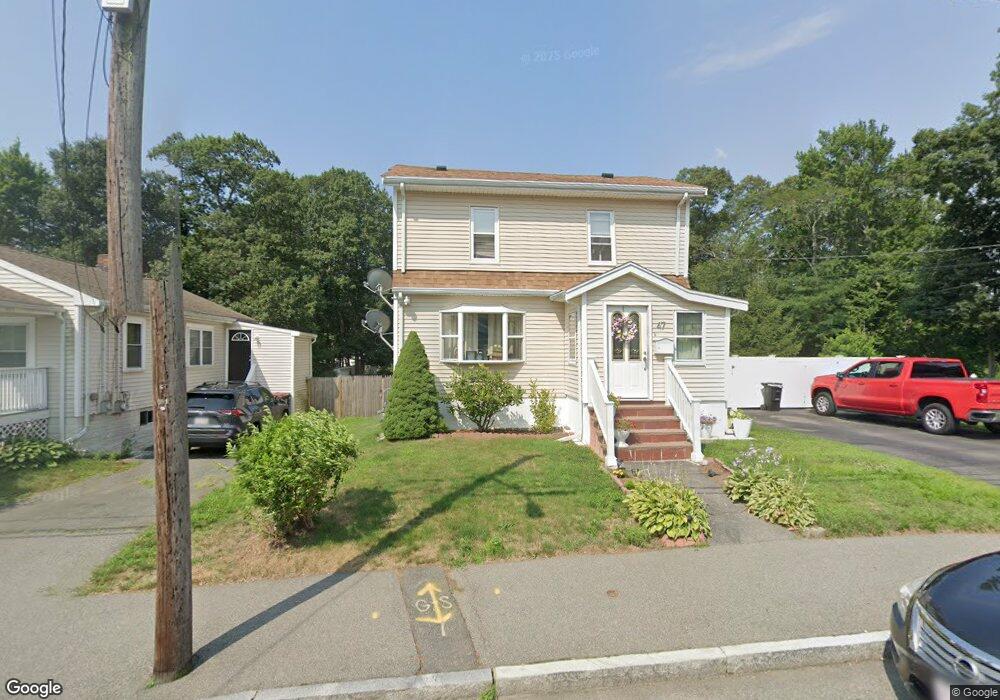
47 Sterling Rd Brockton, MA 02302
Estimated Value: $531,586 - $600,000
5
Beds
4
Baths
2,160
Sq Ft
$260/Sq Ft
Est. Value
About This Home
This home is located at 47 Sterling Rd, Brockton, MA 02302 and is currently estimated at $562,397, approximately $260 per square foot. 47 Sterling Rd is a home located in Plymouth County with nearby schools including Brookfield Elementary School, Mary E. Baker Elementary School, and Downey Elementary School.
Ownership History
Date
Name
Owned For
Owner Type
Purchase Details
Closed on
Aug 26, 2011
Sold by
Arrey Daniel and Arrey Francoise
Bought by
Osorio Jose and Osorio Elisangela
Current Estimated Value
Home Financials for this Owner
Home Financials are based on the most recent Mortgage that was taken out on this home.
Original Mortgage
$165,690
Outstanding Balance
$115,396
Interest Rate
4.62%
Mortgage Type
FHA
Estimated Equity
$447,001
Purchase Details
Closed on
Apr 29, 2004
Sold by
Victoria Louise M
Bought by
Arrey Daniel and Arrey Francoise
Home Financials for this Owner
Home Financials are based on the most recent Mortgage that was taken out on this home.
Original Mortgage
$199,690
Interest Rate
5.36%
Mortgage Type
Purchase Money Mortgage
Purchase Details
Closed on
Sep 29, 1998
Sold by
Merritt Rose M and Regan Lorraine A
Bought by
Victoria Louise M
Create a Home Valuation Report for This Property
The Home Valuation Report is an in-depth analysis detailing your home's value as well as a comparison with similar homes in the area
Home Values in the Area
Average Home Value in this Area
Purchase History
| Date | Buyer | Sale Price | Title Company |
|---|---|---|---|
| Osorio Jose | $170,000 | -- | |
| Arrey Daniel | $210,200 | -- | |
| Victoria Louise M | $82,000 | -- |
Source: Public Records
Mortgage History
| Date | Status | Borrower | Loan Amount |
|---|---|---|---|
| Open | Osorio Jose | $165,690 | |
| Previous Owner | Victoria Louise M | $28,000 | |
| Previous Owner | Victoria Louise M | $202,000 | |
| Previous Owner | Victoria Louise M | $199,690 |
Source: Public Records
Tax History Compared to Growth
Tax History
| Year | Tax Paid | Tax Assessment Tax Assessment Total Assessment is a certain percentage of the fair market value that is determined by local assessors to be the total taxable value of land and additions on the property. | Land | Improvement |
|---|---|---|---|---|
| 2025 | $4,947 | $408,500 | $134,400 | $274,100 |
| 2024 | $4,800 | $399,300 | $134,400 | $264,900 |
| 2023 | $4,861 | $374,500 | $101,000 | $273,500 |
| 2022 | $4,333 | $310,200 | $91,500 | $218,700 |
| 2021 | $4,547 | $313,600 | $75,500 | $238,100 |
| 2020 | $3,960 | $261,400 | $71,400 | $190,000 |
| 2019 | $3,978 | $256,000 | $68,700 | $187,300 |
| 2018 | $3,622 | $225,500 | $68,700 | $156,800 |
| 2017 | $3,758 | $233,400 | $68,700 | $164,700 |
| 2016 | $3,038 | $175,000 | $66,500 | $108,500 |
| 2015 | $2,808 | $154,700 | $66,500 | $88,200 |
| 2014 | $2,872 | $158,400 | $66,500 | $91,900 |
Source: Public Records
Map
Nearby Homes
- 11 Alexandra's Way
- 51 Sterling Rd
- 12 Alexandra's Way
- 6 Alexander St Unit 1
- 9 Whitman St
- 00 Alexander St Unit lot 25
- 00 Alexander St Unit lot 10
- 0 Alexander St
- 55 Sterling Rd
- 7 Whitman St
- 35 Sterling Rd
- 50 Sterling Rd
- 59 Sterling Rd
- 52 Sterling Rd
- 20 Alexander St
- 31 Sterling Rd
- 38 Sterling Rd
- 5 Whitman St
- 56 Sterling Rd
- 40 Coolidge Ave