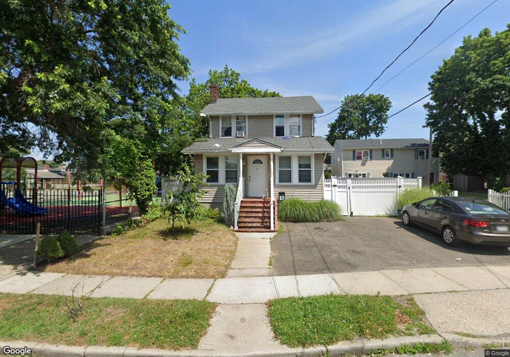
47 Stevens St Freeport, NY 11520
Estimated Value: $629,000 - $675,985
Studio
2
Baths
1,597
Sq Ft
$409/Sq Ft
Est. Value
About This Home
This home is located at 47 Stevens St, Freeport, NY 11520 and is currently estimated at $652,493, approximately $408 per square foot. 47 Stevens St is a home located in Nassau County with nearby schools including Caroline G. Atkinson Intermediate School, Columbus Avenue School, and John W Dodd Middle School.
Ownership History
Date
Name
Owned For
Owner Type
Purchase Details
Closed on
Oct 25, 2018
Sold by
Garcia Flor Maria and Caballero Laura
Bought by
Garcia Flor
Current Estimated Value
Purchase Details
Closed on
Apr 26, 2016
Sold by
Garcia Flor Maria
Bought by
Garcia Flor Maria and Caballero Laura
Purchase Details
Closed on
May 15, 2008
Sold by
Signature Holding Inc
Bought by
Garcia Flor
Purchase Details
Closed on
Apr 29, 2008
Sold by
Us Bank National Assn
Bought by
Signature Holding Inc
Purchase Details
Closed on
Jun 26, 2007
Sold by
Edwin Mulhern Esq
Purchase Details
Closed on
Jan 28, 2005
Sold by
Homes For Less Inc
Bought by
Cueller Maria
Purchase Details
Closed on
Aug 16, 2004
Sold by
Chase Manhattan Mortgage
Purchase Details
Closed on
Jul 2, 2003
Sold by
Schaffer Eugene
Create a Home Valuation Report for This Property
The Home Valuation Report is an in-depth analysis detailing your home's value as well as a comparison with similar homes in the area
Home Values in the Area
Average Home Value in this Area
Purchase History
| Date | Buyer | Sale Price | Title Company |
|---|---|---|---|
| Garcia Flor | -- | Judicial Title | |
| Garcia Flor Maria | -- | None Available | |
| Garcia Flor | $345,000 | -- | |
| Signature Holding Inc | $270,000 | -- | |
| -- | $335,175 | -- | |
| Cueller Maria | $374,000 | -- | |
| -- | $230,000 | -- | |
| -- | $169,700 | -- |
Source: Public Records
Tax History
| Year | Tax Paid | Tax Assessment Tax Assessment Total Assessment is a certain percentage of the fair market value that is determined by local assessors to be the total taxable value of land and additions on the property. | Land | Improvement |
|---|---|---|---|---|
| 2025 | $8,614 | $404 | $126 | $278 |
| 2024 | $896 | $404 | $126 | $278 |
Source: Public Records
Map
Nearby Homes
- 72 Woodside Ave
- 63 E Seaman Ave
- 188 Woodside Ave
- 101 Harris Ave
- 35 W Seaman Ave
- 247 N Columbus Ave
- 400 N Columbus Ave
- 173 E Seaman Ave
- 67 E Dean St
- 12 King St
- 63 Lincoln Place
- 365 Wallace St
- 32 Dawes Ave
- 85 Bedford Ave
- 251 N Long Beach Ave
- 45 Dehnhoff Ave
- 171 Ellison Ave
- 152 Evans Ave
- 27 W Woodbine Dr
- 76 Cumberland Ave
- 55 Stevens St
- 59 Stevens St
- 50 Colonial Ave
- 56 Stevens St
- 52 Colonial Ave
- 46 Colonial Ave
- 54 Stevens St
- 52 Stevens St
- 58 Colonial Ave
- 60 Stevens St
- 50 Stevens St
- 63 Stevens St
- 40 Colonial Ave
- 72 Colonial Ave
- 48 Stevens St
- 44 Independence Ave
- 46 Stevens St
- 65 Stevens St
- 34 Colonial Ave
- 46 Independence Ave
Your Personal Tour Guide
Ask me questions while you tour the home.