47 Strickland Rd Hazlehurst, GA 31539
Estimated Value: $132,000 - $247,000
--
Bed
--
Bath
896
Sq Ft
$194/Sq Ft
Est. Value
About This Home
This home is located at 47 Strickland Rd, Hazlehurst, GA 31539 and is currently estimated at $173,498, approximately $193 per square foot. 47 Strickland Rd is a home with nearby schools including Jeff Davis Primary School, Jeff Davis Elementary School, and Jeff Davis Middle School.
Ownership History
Date
Name
Owned For
Owner Type
Purchase Details
Closed on
Jan 7, 2008
Sold by
Stapleton Marilyn Strickla
Bought by
Stapleton Barbara
Current Estimated Value
Purchase Details
Closed on
Dec 11, 2007
Sold by
Stapleton Marilyn Strickla
Bought by
Rackley Wynelle U
Purchase Details
Closed on
Oct 11, 2007
Sold by
Ursrey Virgil L
Bought by
Rackley Wynelle U
Purchase Details
Closed on
May 29, 2007
Sold by
Strickland Darrell
Bought by
Strickland John M
Purchase Details
Closed on
Jun 21, 1979
Bought by
Strickland A J Etal
Purchase Details
Closed on
Jan 1, 1958
Bought by
Strickland Dicey
Create a Home Valuation Report for This Property
The Home Valuation Report is an in-depth analysis detailing your home's value as well as a comparison with similar homes in the area
Home Values in the Area
Average Home Value in this Area
Purchase History
| Date | Buyer | Sale Price | Title Company |
|---|---|---|---|
| Stapleton Barbara | -- | -- | |
| Strickland John M | -- | -- | |
| Rackley Wynelle U | -- | -- | |
| Strickland John M | -- | -- | |
| Rackley Wynelle U | -- | -- | |
| Rackley Wynelle U | -- | -- | |
| Strickland John M | -- | -- | |
| Strickland A J Etal | -- | -- | |
| Strickland Dicey | -- | -- |
Source: Public Records
Tax History Compared to Growth
Tax History
| Year | Tax Paid | Tax Assessment Tax Assessment Total Assessment is a certain percentage of the fair market value that is determined by local assessors to be the total taxable value of land and additions on the property. | Land | Improvement |
|---|---|---|---|---|
| 2024 | $1,251 | $44,589 | $33,640 | $10,949 |
| 2023 | $0 | $15,797 | $9,137 | $6,660 |
| 2022 | $405 | $15,797 | $9,137 | $6,660 |
| 2021 | $405 | $15,797 | $9,137 | $6,660 |
| 2020 | $464 | $15,797 | $9,137 | $6,660 |
| 2019 | $464 | $15,797 | $9,137 | $6,660 |
| 2018 | $464 | $15,797 | $9,137 | $6,660 |
| 2017 | $432 | $14,944 | $9,137 | $5,807 |
| 2016 | $424 | $14,944 | $9,137 | $5,807 |
| 2015 | -- | $14,944 | $9,137 | $5,807 |
| 2014 | -- | $14,939 | $9,137 | $5,802 |
Source: Public Records
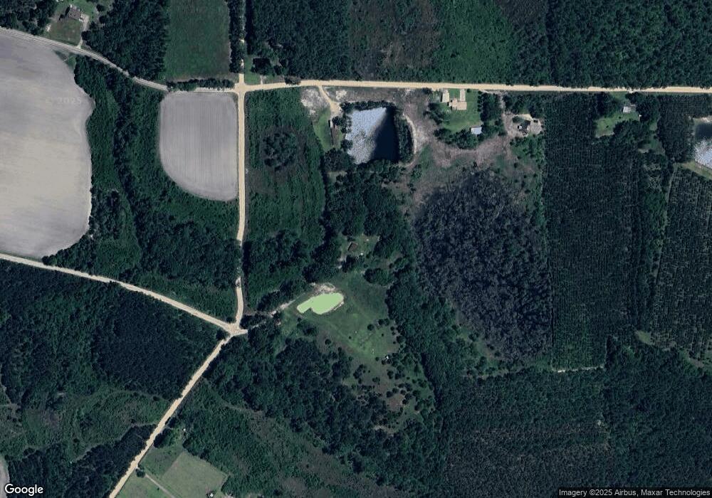
Map
Nearby Homes
- 00 Herrington Rd
- 0 Herrington Rd
- 60 Fred Hutchinson Rd
- 469 Dyal Rd
- 0 Lake Mayers Rd Unit 23695
- 0 Lake Mayers Rd Unit 10628654
- 43 Graham Methodist Church Rd
- 4038 Lake Mayers Rd
- 0 Golden Isle W
- TBD Golden Isle W
- 212 Arthur McNeal Rd
- 0 Wragler Ln Unit 10542405
- 2612 Buck Head Rd
- -- Hammond Powell Rd
- 53 Mockingbird Ln
- 0 Elizabeth Church Rd Unit 10583146
- 000 Old Graham Rd
- 00 Old Graham Rd
- 0 Old Graham Rd Unit 10531283
- 58 Currie St
- 71 Strickland Rd
- 183 Fisher Rd
- 36 Jp Hall Rd
- 151 Beecher Rd
- 171 Lucy Berge Rd
- 84 Jp Hall Rd
- 66 Jp Hall Rd
- 121 Beecher Rd
- 39 Patton Dr
- 84 Beecher Rd
- 84 Beecher Rd Unit 103+/- Ac
- 6 Patton Dr
- 26 Hog Hell Bay Rd
- 117 Fisher Rd
- 119 Quinn Rd
- 129 Jp Hall Rd
- 129 Jp Hall Rd
- 116 Lucy Berge Rd
- 34 Varnadore Dr
- 5 Lawton Crosby Rd