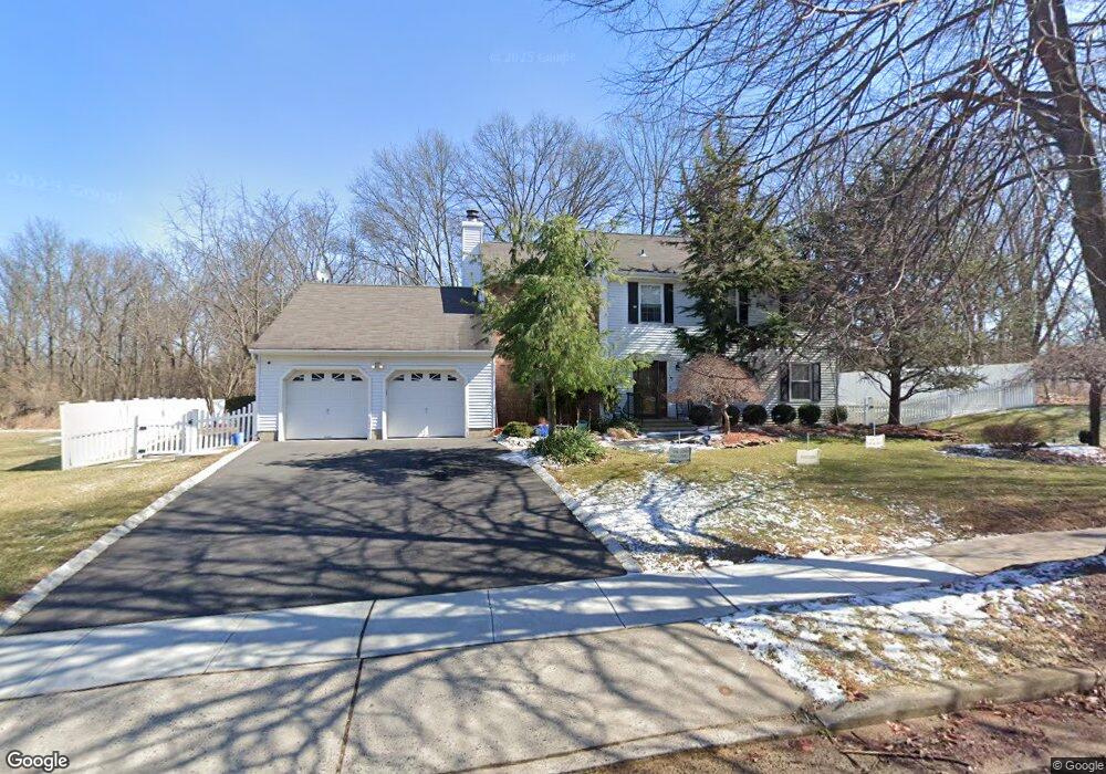
47 Sturbridge Dr E Piscataway, NJ 08854
Estimated Value: $832,000 - $1,098,000
--
Bed
--
Bath
4,028
Sq Ft
$245/Sq Ft
Est. Value
About This Home
This home is located at 47 Sturbridge Dr E, Piscataway, NJ 08854 and is currently estimated at $986,414, approximately $244 per square foot. 47 Sturbridge Dr E is a home with nearby schools including Randolphville Elementary School, Martin Luther King Intermediate School, and Quibbletown Middle School.
Ownership History
Date
Name
Owned For
Owner Type
Purchase Details
Closed on
Jan 9, 2019
Sold by
North Stelton African Methodist Church I
Bought by
Saunders Kenneth and Saunders Shirley
Current Estimated Value
Purchase Details
Closed on
Aug 26, 2014
Sold by
North Stelton Ame Church
Bought by
Saunders Pastor Kenneth and Saunders Shirley
Purchase Details
Closed on
Aug 1, 1995
Sold by
Mack Edward
Bought by
North Stelton Ame Church Inc
Home Financials for this Owner
Home Financials are based on the most recent Mortgage that was taken out on this home.
Original Mortgage
$150,000
Interest Rate
7.48%
Mortgage Type
Commercial
Create a Home Valuation Report for This Property
The Home Valuation Report is an in-depth analysis detailing your home's value as well as a comparison with similar homes in the area
Home Values in the Area
Average Home Value in this Area
Purchase History
| Date | Buyer | Sale Price | Title Company |
|---|---|---|---|
| Saunders Kenneth | -- | None Available | |
| Saunders Pastor Kenneth | $332,000 | None Available | |
| North Stelton Agrican Methodist Churhc I | -- | None Available | |
| North Stelton Ame Church Inc | $250,000 | -- |
Source: Public Records
Mortgage History
| Date | Status | Borrower | Loan Amount |
|---|---|---|---|
| Previous Owner | North Stelton Ame Church Inc | $150,000 | |
| Closed | Saunders Pastor Kenneth | $0 |
Source: Public Records
Tax History Compared to Growth
Tax History
| Year | Tax Paid | Tax Assessment Tax Assessment Total Assessment is a certain percentage of the fair market value that is determined by local assessors to be the total taxable value of land and additions on the property. | Land | Improvement |
|---|---|---|---|---|
| 2025 | $14,251 | $781,700 | $387,200 | $394,500 |
| 2024 | $14,183 | $728,600 | $249,800 | $478,800 |
| 2023 | $14,183 | $678,600 | $249,800 | $428,800 |
| 2022 | $13,571 | $605,300 | $249,800 | $355,500 |
| 2021 | $13,279 | $568,000 | $249,800 | $318,200 |
| 2020 | $13,159 | $564,300 | $249,800 | $314,500 |
| 2019 | $13,327 | $562,100 | $249,800 | $312,300 |
| 2018 | $0 | $475,800 | $249,800 | $226,000 |
| 2017 | $0 | $489,700 | $284,800 | $204,900 |
| 2016 | $0 | $489,700 | $284,800 | $204,900 |
| 2015 | -- | $489,700 | $284,800 | $204,900 |
| 2014 | -- | $489,700 | $284,800 | $204,900 |
Source: Public Records
Map
Nearby Homes
- 5 Boxwood Rd
- 385 Metlars Ln
- 17 Lake Park Dr
- 69 Redbud Rd
- 91 Redbud Rd
- 143 School St
- 110 Sylvan Ave
- 150 School St
- 131 Woodland Rd
- 72 School St
- 148 Woodland Rd
- 76 Woodland Rd
- 21 Thornton Ln
- 52 School St
- 133 Metlars Ln
- 35 Masters Blvd
- 60 Coventry Cir
- 524 Doral Ct
- 2 Arlington Place
- 336 Lancaster Ct Unit 2336
- 43 Sturbridge Dr E
- 40 Sturbridge Dr E
- 39 Sturbridge Dr E
- 35 Sturbridge Dr E
- 34 Sturbridge Dr E
- 20 Boxwood Rd
- 18 Boxwood Rd
- 22 Boxwood Rd
- 31 Sturbridge Dr E
- 16 Boxwood Rd
- 30 Sturbridge Dr E
- 40 Independence Ct
- 36 Independence Ct
- 14 Boxwood Rd
- 27 Sturbridge Dr E
- 44 Independence Ct
- 28 Independence Ct
- 23 Boxwood Rd
- 8 Smoke Tree Close
- 32 Independence Ct