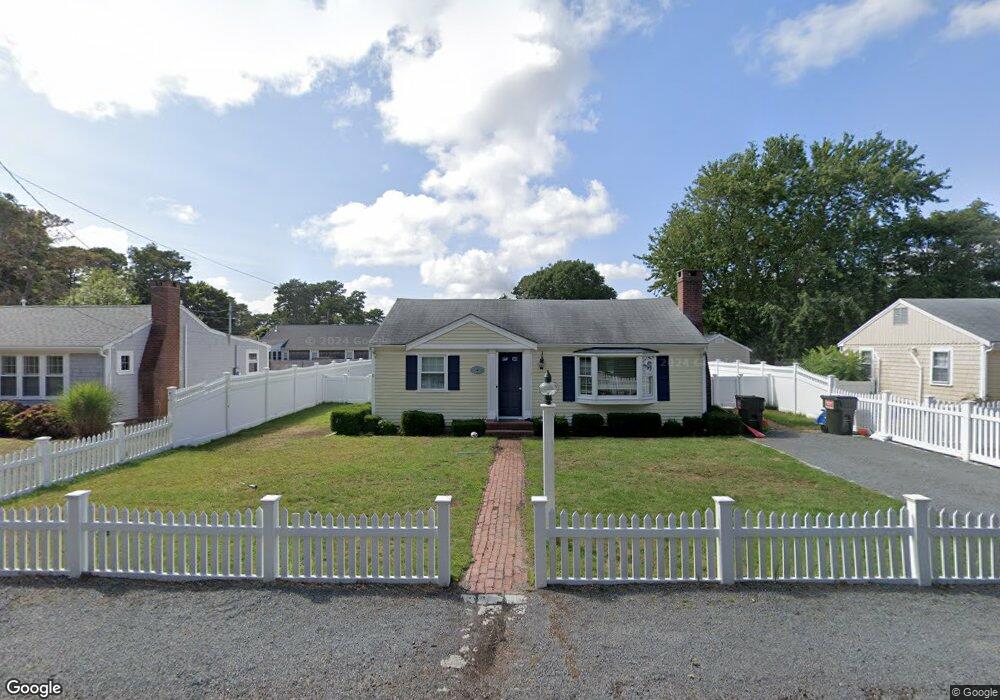
47 Susan Ruth Rd Dennis Port, MA 02639
Dennis Port NeighborhoodEstimated Value: $587,000 - $726,544
3
Beds
1
Bath
800
Sq Ft
$849/Sq Ft
Est. Value
About This Home
This home is located at 47 Susan Ruth Rd, Dennis Port, MA 02639 and is currently estimated at $678,886, approximately $848 per square foot. 47 Susan Ruth Rd is a home located in Barnstable County with nearby schools including Dennis-Yarmouth Regional High School and St. Pius X. School.
Ownership History
Date
Name
Owned For
Owner Type
Purchase Details
Closed on
Nov 22, 1996
Sold by
Demarco Anthony J and Demarco Carolyn L
Bought by
Har Rt and Rappa Henry A
Current Estimated Value
Home Financials for this Owner
Home Financials are based on the most recent Mortgage that was taken out on this home.
Original Mortgage
$87,000
Outstanding Balance
$8,363
Interest Rate
7.81%
Mortgage Type
Purchase Money Mortgage
Estimated Equity
$670,523
Create a Home Valuation Report for This Property
The Home Valuation Report is an in-depth analysis detailing your home's value as well as a comparison with similar homes in the area
Home Values in the Area
Average Home Value in this Area
Purchase History
| Date | Buyer | Sale Price | Title Company |
|---|---|---|---|
| Har Rt | $117,000 | -- |
Source: Public Records
Mortgage History
| Date | Status | Borrower | Loan Amount |
|---|---|---|---|
| Open | Har Rt | $87,000 |
Source: Public Records
Tax History Compared to Growth
Tax History
| Year | Tax Paid | Tax Assessment Tax Assessment Total Assessment is a certain percentage of the fair market value that is determined by local assessors to be the total taxable value of land and additions on the property. | Land | Improvement |
|---|---|---|---|---|
| 2025 | $2,957 | $682,900 | $281,400 | $401,500 |
| 2024 | $2,799 | $637,500 | $270,700 | $366,800 |
| 2023 | $2,706 | $579,500 | $246,000 | $333,500 |
| 2022 | $2,458 | $439,000 | $193,900 | $245,100 |
| 2021 | $2,388 | $396,100 | $190,100 | $206,000 |
| 2020 | $11,995 | $377,100 | $190,100 | $187,000 |
| 2019 | $2,276 | $368,900 | $202,400 | $166,500 |
| 2018 | $10,893 | $342,300 | $192,700 | $149,600 |
| 2017 | $1,983 | $322,400 | $177,500 | $144,900 |
| 2016 | $1,873 | $286,800 | $167,300 | $119,500 |
| 2015 | $1,749 | $273,300 | $167,300 | $106,000 |
| 2014 | $1,671 | $263,200 | $157,200 | $106,000 |
Source: Public Records
Map
Nearby Homes
- 37 Ocean Dr Unit 2
- 64 Beaten Rd
- 112 Old Wharf Rd Unit E4
- 112 Old Wharf Rd Unit E1
- 120 Old Wharf Rd Unit 11
- 154 Old Wharf Rd Unit 26
- 154 Old Wharf Rd Unit 14
- 217 Old Wharf Rd Unit 64
- 80 Michaels Ave
- 241 Old Wharf Rd Unit 82
- 241 Old Wharf Rd Unit 127
- 241 Old Wharf Rd Unit 90
- 31 Easy St
- 262 Old Wharf Rd Unit 67
- 262 Old Wharf Rd Unit 5
- 262 Old Wharf Rd Unit 5
- 262 Old Wharf Rd Unit 20
- 262 Old Wharf Rd Unit 87
- 37 Beach Hills Rd
- 6 Baker Way
- 43 Susan Ruth Rd
- 41 Susan Ruth Rd
- 49 Susan Ruth Rd
- 49 Beaten Rd
- 38 Ocean Dr
- 37 Susan Ruth Rd
- 40 Ocean Dr
- 45 Beaten Rd
- 32 Ocean Dr
- 53 Beaten Rd
- 44 Ocean Dr
- 53 Susan Ruth Rd
- 41 Beaten Rd
- 57 Beaten Rd
- 0 Beaten Rd Unit 12 20707506
- 0 Beaten Rd Unit 6
- 48 Ocean Dr
- 55 Susan Ruth Rd
- 35 Susan Ruth Rd
- 59 Susan Ruth Rd