47 Sutton Hill Rd North Andover, MA 01845
Estimated Value: $977,290 - $1,093,000
3
Beds
2
Baths
3,202
Sq Ft
$323/Sq Ft
Est. Value
About This Home
This home is located at 47 Sutton Hill Rd, North Andover, MA 01845 and is currently estimated at $1,033,073, approximately $322 per square foot. 47 Sutton Hill Rd is a home located in Essex County with nearby schools including Franklin Elementary School, North Andover Middle School, and North Andover High School.
Ownership History
Date
Name
Owned For
Owner Type
Purchase Details
Closed on
Oct 2, 2018
Sold by
Defillippo Daniel and Defillippo Rebecca A
Bought by
Defillippo Daniel and Defillippo Rebecca A
Current Estimated Value
Purchase Details
Closed on
Dec 5, 2017
Sold by
Mallen Richard K and Mallen Noreen V
Bought by
Mallen Richard K and Mallen Noreen V
Purchase Details
Closed on
Jan 1, 1980
Bought by
Mallen Richard K and Mallen Noreen
Create a Home Valuation Report for This Property
The Home Valuation Report is an in-depth analysis detailing your home's value as well as a comparison with similar homes in the area
Home Values in the Area
Average Home Value in this Area
Purchase History
| Date | Buyer | Sale Price | Title Company |
|---|---|---|---|
| Defillippo Daniel | -- | -- | |
| Mallen Richard K | -- | -- | |
| Mallen Richard K | -- | -- |
Source: Public Records
Mortgage History
| Date | Status | Borrower | Loan Amount |
|---|---|---|---|
| Previous Owner | Mallen Richard K | $400,500 | |
| Previous Owner | Mallen Richard K | $190,000 | |
| Previous Owner | Mallen Richard K | $300,000 |
Source: Public Records
Tax History Compared to Growth
Tax History
| Year | Tax Paid | Tax Assessment Tax Assessment Total Assessment is a certain percentage of the fair market value that is determined by local assessors to be the total taxable value of land and additions on the property. | Land | Improvement |
|---|---|---|---|---|
| 2025 | $9,300 | $825,900 | $405,400 | $420,500 |
| 2024 | $8,922 | $804,500 | $384,000 | $420,500 |
| 2023 | $8,681 | $709,200 | $324,300 | $384,900 |
| 2022 | $8,440 | $623,800 | $281,600 | $342,200 |
| 2021 | $8,095 | $571,300 | $256,000 | $315,300 |
| 2020 | $7,468 | $543,500 | $249,600 | $293,900 |
| 2019 | $7,288 | $543,500 | $249,600 | $293,900 |
| 2018 | $7,897 | $543,500 | $249,600 | $293,900 |
| 2017 | $7,556 | $529,100 | $222,900 | $306,200 |
| 2016 | $7,125 | $499,300 | $225,100 | $274,200 |
| 2015 | $6,806 | $473,000 | $210,800 | $262,200 |
Source: Public Records
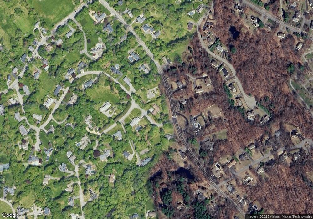
Map
Nearby Homes
- 29 Heath Rd
- 156 Chestnut St Unit 15
- 80 Sandra Ln
- 174 Chestnut St Unit 14
- 316 Johnson St
- 3 Great Pond Rd
- 74 Hewitt Ave
- 122 Lisa Ln
- 26 Woodberry Ln
- 27 Marbleridge Rd
- 58 Berkeley Rd
- 124 Hillside Rd
- 180 Chickering Rd Unit 204C
- 180 Chickering Rd Unit 107C
- 51 Village Green Dr
- 7 Kingston St
- 13 Kingston St Unit 94
- 190 Chickering Rd Unit 204D
- 190 Chickering Rd Unit 201D
- 75 Thistle Rd
- 145 Johnson St
- 44 Sutton Hill Rd
- 173 Johnson St
- 164 Johnson St
- 12 Sutton Hill Rd
- 154 Johnson St
- 136 Heath Rd
- 95 Johnson St
- 174 Johnson St
- 62 Sutton Hill Rd
- 49 Sutton Hill Rd
- 150 Johnson St
- 128 Johnson St
- 50 Sutton Hill Rd
- 209 Johnson St
- 52 Sutton Hill Rd
- 93 Johnson St
- 146 Johnson St
- 130 Heath Rd
- 71 Sutton Hill Rd