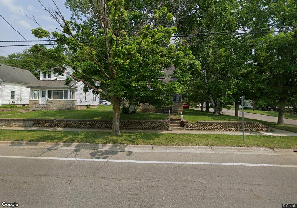
47 Territorial Rd E Battle Creek, MI 49015
Central Battle Creek NeighborhoodEstimated Value: $143,986 - $166,000
About This Home
This home is located at 47 Territorial Rd E, Battle Creek, MI 49015 and is currently estimated at $157,997, approximately $96 per square foot. 47 Territorial Rd E is a home located in Calhoun County with nearby schools including Ann J. Kellogg School, Springfield Middle School, and Battle Creek Central High School.
Ownership History
We collect this data history from publicly available records. To have your information removed, we recommend requesting removal directly through your county’s website.
Purchase Details
Home Financials for this Owner
Home Financials are based on the most recent Mortgage that was taken out on this home.Purchase Details
Purchase Details
Purchase Details
Purchase Details
Home Values in the Area
Average Home Value in this Area
Purchase History
We collect this data history from publicly available records. To have your information removed, we recommend requesting removal directly through your county’s website.
| Date | Buyer | Sale Price | Title Company |
|---|---|---|---|
| $25,000 | None Available | ||
| $42,900 | -- | ||
| -- | -- | ||
| -- | -- | ||
| -- | -- |
Mortgage History
We collect this data history from publicly available records. To have your information removed, we recommend requesting removal directly through your county’s website.
| Date | Status | Borrower | Loan Amount |
|---|---|---|---|
| Open | $25,000 |
Tax History
We collect this data history from publicly available records. To have your information removed, we recommend requesting removal directly through your county’s website.
| Year | Tax Paid | Tax Assessment Tax Assessment Total Assessment is a certain percentage of the fair market value that is determined by local assessors to be the total taxable value of land and additions on the property. | Land | Improvement |
|---|---|---|---|---|
| 2025 | $1,387 | $49,500 | $0 | $0 |
| 2024 | $599 | $41,342 | $0 | $0 |
| 2023 | $1,776 | $39,713 | $0 | $0 |
| 2022 | $1,776 | $30,243 | $0 | $0 |
| 2021 | $1,690 | $28,080 | $0 | $0 |
| 2020 | $1,673 | $27,502 | $0 | $0 |
| 2019 | $1,586 | $28,390 | $0 | $0 |
| 2018 | $1,586 | $24,185 | $660 | $23,525 |
| 2017 | $1,989 | $23,447 | $0 | $0 |
| 2016 | $2,135 | $32,633 | $0 | $0 |
| 2015 | $1,679 | $31,430 | $3,275 | $28,155 |
| 2014 | $1,679 | $36,428 | $3,275 | $33,153 |
Map
- 71 Burnham St W
- 84 Burnham St E
- 79 Winter St
- 236 Iroquois Ave
- 93 Webber St
- 106 Winter St
- 17 Tennyson Ave
- 346 Wentworth Ave
- 350 Iroquois Ave
- 447 Territorial Rd W
- 160 Goguac St W
- 166 Winter St
- 359 Lakeview Ave
- 251 Columbia Ave W Unit 3
- 0 Fairfield Ave
- 139 Rittenhouse Ave W
- 510 Lakeview Ave
- 355 Columbia Ave W Unit 104
- 439 W Columbia Ave
- 74 Seivour Ave
- 43 Territorial Rd E
- 39 Territorial Rd E
- 35 Territorial Rd E
- 44 Territorial Rd E
- 110 Terrace Ave
- 59 Territorial Rd E
- 38 Territorial Rd E
- 113 Terrace Ave
- 40 Territorial Rd E
- 36 Territorial Rd E
- 45 Randolph St
- 39 Randolph St
- 106 Terrace Ave
- 109 Terrace Ave
- 29 Territorial Rd E
- 1618 Roe St
- 33 Randolph St
- 32 Territorial Rd E Unit 2
- 32 Territorial Rd E Unit 1
- 105 Terrace Ave
Ask me questions while you tour the home.