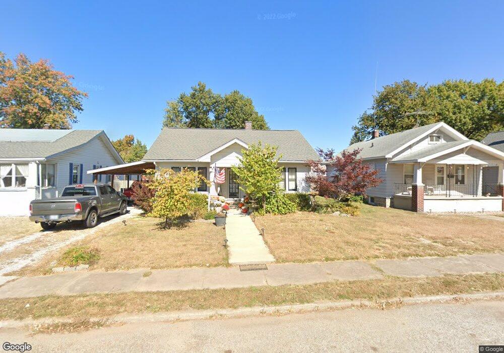
47 W Jennings Ave Wood River, IL 62095
Estimated Value: $102,434 - $114,000
2
Beds
1
Bath
942
Sq Ft
$114/Sq Ft
Est. Value
About This Home
This home is located at 47 W Jennings Ave, Wood River, IL 62095 and is currently estimated at $107,359, approximately $113 per square foot. 47 W Jennings Ave is a home located in Madison County with nearby schools including Lewis-Clark Elementary School and East Alton-Wood River High School.
Ownership History
Date
Name
Owned For
Owner Type
Purchase Details
Closed on
May 14, 2010
Sold by
Dooling Joseph S
Bought by
Dailey Lisa
Current Estimated Value
Home Financials for this Owner
Home Financials are based on the most recent Mortgage that was taken out on this home.
Original Mortgage
$57,229
Outstanding Balance
$39,194
Interest Rate
5.5%
Mortgage Type
FHA
Estimated Equity
$68,165
Purchase Details
Closed on
Jan 5, 2006
Sold by
Gehrig Virginia Ann
Bought by
Dooling Joseph S
Create a Home Valuation Report for This Property
The Home Valuation Report is an in-depth analysis detailing your home's value as well as a comparison with similar homes in the area
Home Values in the Area
Average Home Value in this Area
Purchase History
| Date | Buyer | Sale Price | Title Company |
|---|---|---|---|
| Dailey Lisa | $58,000 | Premier Title & Escrow Co | |
| Dooling Joseph S | $55,000 | First American Title Ins Co |
Source: Public Records
Mortgage History
| Date | Status | Borrower | Loan Amount |
|---|---|---|---|
| Open | Dailey Lisa | $57,229 |
Source: Public Records
Tax History Compared to Growth
Tax History
| Year | Tax Paid | Tax Assessment Tax Assessment Total Assessment is a certain percentage of the fair market value that is determined by local assessors to be the total taxable value of land and additions on the property. | Land | Improvement |
|---|---|---|---|---|
| 2024 | $1,716 | $25,920 | $5,540 | $20,380 |
| 2023 | $1,716 | $24,160 | $5,160 | $19,000 |
| 2022 | $1,593 | $22,300 | $4,760 | $17,540 |
| 2021 | $1,377 | $20,790 | $4,440 | $16,350 |
| 2020 | $1,326 | $20,030 | $4,280 | $15,750 |
| 2019 | $1,262 | $19,430 | $4,150 | $15,280 |
| 2018 | $1,215 | $18,460 | $3,940 | $14,520 |
| 2017 | $1,124 | $18,020 | $3,850 | $14,170 |
| 2016 | $1,103 | $18,020 | $3,850 | $14,170 |
| 2015 | $1,095 | $17,830 | $3,810 | $14,020 |
| 2014 | $1,095 | $17,830 | $3,810 | $14,020 |
| 2013 | $1,095 | $18,080 | $3,860 | $14,220 |
Source: Public Records
Map
Nearby Homes
- 41 W Penning Ave
- 469 N 1st St
- 72 E Acton Ave
- 726 Rice St
- 207 E Penning Ave
- 777 Condit St
- 242 E Lorena Ave
- 833 State St
- 830 N Wood River Ave
- 209 Elble Ave
- 537 Tipton Ave
- 411 E Ferguson Ave
- 98 Wood River Ave
- 529 5th St
- 565 5th St
- 458 N 6th St
- 523 E Acton Ave
- 503 E Ferguson Ave
- 121 Whitelaw Ave
- 104 Whitelaw Ave
- 41 W Jennings Ave
- 53 W Jennings Ave
- 35 W Jennings Ave
- 61 W Jennings Ave
- 54 Carstens Ave
- 42 Carstens Ave
- 27 W Jennings Ave
- 63 W Jennings Ave
- 40 Carstens Ave
- 56 Carstens Ave
- 46 W Jennings Ave
- 44 W Jennings Ave
- 56 W Jennings Ave
- 38 Carstens Ave
- 21 W Jennings Ave
- 75 W Jennings Ave
- 40 W Jennings Ave
- 36 W Jennings Ave
- 22 Carstens Ave
- 81 W Jennings Ave