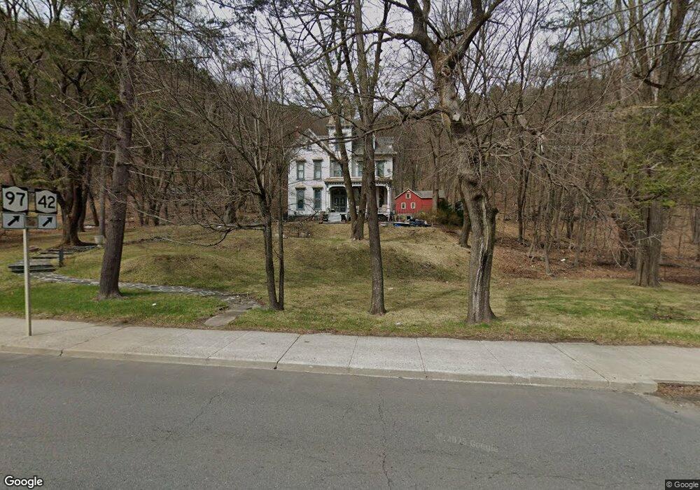
47 W Main St Port Jervis, NY 12771
Estimated Value: $402,000 - $589,000
5
Beds
3
Baths
4,714
Sq Ft
$103/Sq Ft
Est. Value
About This Home
This home is located at 47 W Main St, Port Jervis, NY 12771 and is currently estimated at $484,772, approximately $102 per square foot. 47 W Main St is a home located in Orange County with nearby schools including Port Jervis High School and New Life Christian Day School.
Ownership History
Date
Name
Owned For
Owner Type
Purchase Details
Closed on
Aug 26, 2020
Sold by
Szucs Gyula
Bought by
Stemmler Brandon and Lane Veronica
Current Estimated Value
Home Financials for this Owner
Home Financials are based on the most recent Mortgage that was taken out on this home.
Original Mortgage
$408,000
Outstanding Balance
$361,401
Interest Rate
2.8%
Mortgage Type
New Conventional
Estimated Equity
$123,371
Purchase Details
Closed on
Mar 31, 1995
Sold by
Cuddeback Neva H
Bought by
Silverman Elizabeth C
Create a Home Valuation Report for This Property
The Home Valuation Report is an in-depth analysis detailing your home's value as well as a comparison with similar homes in the area
Home Values in the Area
Average Home Value in this Area
Purchase History
| Date | Buyer | Sale Price | Title Company |
|---|---|---|---|
| Stemmler Brandon | $510,000 | None Available | |
| Silverman Elizabeth C | $147,500 | -- |
Source: Public Records
Mortgage History
| Date | Status | Borrower | Loan Amount |
|---|---|---|---|
| Open | Stemmler Brandon | $408,000 |
Source: Public Records
Tax History Compared to Growth
Tax History
| Year | Tax Paid | Tax Assessment Tax Assessment Total Assessment is a certain percentage of the fair market value that is determined by local assessors to be the total taxable value of land and additions on the property. | Land | Improvement |
|---|---|---|---|---|
| 2024 | $7,108 | $99,000 | $29,250 | $69,750 |
| 2023 | $7,108 | $99,000 | $29,250 | $69,750 |
| 2022 | $9,082 | $99,000 | $29,250 | $69,750 |
| 2021 | $7,862 | $99,000 | $29,250 | $69,750 |
| 2020 | $7,171 | $99,000 | $29,250 | $69,750 |
| 2019 | $8,883 | $99,000 | $29,250 | $69,750 |
| 2018 | $8,883 | $99,000 | $29,250 | $69,750 |
| 2017 | $6,714 | $99,000 | $29,250 | $69,750 |
| 2016 | $9,054 | $99,000 | $29,250 | $69,750 |
| 2015 | -- | $118,500 | $29,250 | $89,250 |
| 2014 | -- | $118,500 | $29,250 | $89,250 |
Source: Public Records
Map
Nearby Homes
- 21 Delaware St
- 3 Delaware St
- 14 Washington Ave
- 33 Delaware St
- 24 Washington Ave
- 79 W Main St
- 83 W Main St
- 42 Sussex St
- 27 Railroad Ave
- 4 Elizabeth St
- 18 Hornbeck Ave
- 17 Brooklyn St
- 27 Thompson St
- 4 Catherine St
- 75 Orange St
- 40 King St
- 5 New St
- 105 Fowler St
- 701 United States Route 209
- 20 Kingston Ave
- 46 W Main St
- 48 W Main St
- 50 W Main St
- 42 W Main St Unit 44
- 51 W Main St
- 40 W Main St
- 52 W Main St
- 38 W Main St
- 54 W Main St
- 35 W Main St
- 7 Washington Ave
- 36 W Main St
- 4 Washington Ave
- 56 W Main St
- 6 Washington Ave
- 33 W Main St Unit 2
- 33 W Main St Unit 1
- 33 W Main St
- 9 Washington Ave
- 4 Mount William St