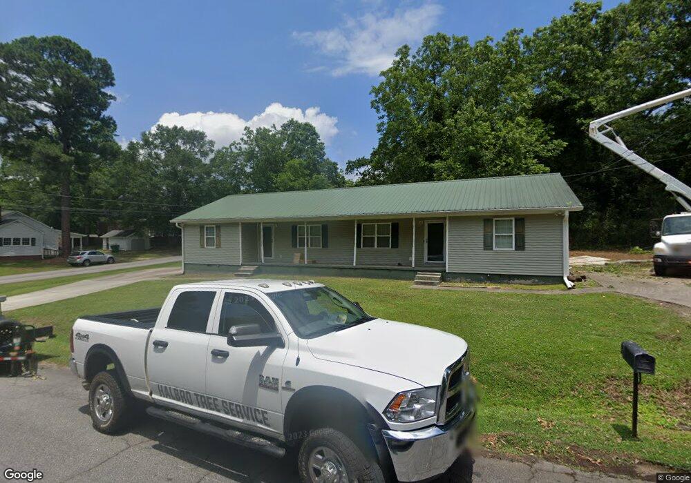
47 W New St Unit B Winder, GA 30680
Estimated Value: $269,717 - $349,000
2
Beds
1
Bath
925
Sq Ft
$339/Sq Ft
Est. Value
About This Home
This home is located at 47 W New St Unit B, Winder, GA 30680 and is currently estimated at $313,429, approximately $338 per square foot. 47 W New St Unit B is a home located in Barrow County with nearby schools including County Line Elementary School, Russell Middle School, and Winder-Barrow High School.
Ownership History
Date
Name
Owned For
Owner Type
Purchase Details
Closed on
Aug 21, 2009
Sold by
Mss West Llc
Bought by
Mss West Llc
Current Estimated Value
Purchase Details
Closed on
Jan 1, 2006
Sold by
Stringer Michael Sco
Bought by
Mss West Llc
Purchase Details
Closed on
Feb 24, 1995
Bought by
Stringer Michael Sco
Purchase Details
Closed on
Feb 23, 1995
Bought by
Stringer Thomas M An
Create a Home Valuation Report for This Property
The Home Valuation Report is an in-depth analysis detailing your home's value as well as a comparison with similar homes in the area
Home Values in the Area
Average Home Value in this Area
Purchase History
| Date | Buyer | Sale Price | Title Company |
|---|---|---|---|
| Mss West Llc | -- | -- | |
| Mss West Llc | -- | -- | |
| Stringer Michael Sco | -- | -- | |
| Stringer Thomas M An | -- | -- |
Source: Public Records
Tax History
| Year | Tax Paid | Tax Assessment Tax Assessment Total Assessment is a certain percentage of the fair market value that is determined by local assessors to be the total taxable value of land and additions on the property. | Land | Improvement |
|---|---|---|---|---|
| 2025 | $2,475 | $87,466 | $23,200 | $64,266 |
| 2024 | $2,462 | $85,438 | $23,200 | $62,238 |
| 2023 | $1,968 | $67,968 | $20,000 | $47,968 |
| 2022 | $2,052 | $58,000 | $18,000 | $40,000 |
| 2021 | $1,704 | $45,400 | $12,000 | $33,400 |
| 2020 | $1,532 | $41,440 | $12,000 | $29,440 |
| 2019 | $1,465 | $38,800 | $12,000 | $26,800 |
| 2018 | $1,429 | $38,800 | $12,000 | $26,800 |
| 2017 | $1,018 | $34,127 | $12,000 | $22,127 |
| 2016 | $1,116 | $32,251 | $12,000 | $20,251 |
| 2015 | $1,126 | $32,547 | $12,000 | $20,547 |
| 2014 | $939 | $26,723 | $5,880 | $20,843 |
| 2013 | -- | $28,323 | $5,880 | $22,443 |
Source: Public Records
Map
Nearby Homes
- 0 Jerome St Unit 10359679
- 59 W Wright St
- 17 W Wright St
- 160 N Broad St
- 10 W Wright St
- 127 N Center St
- 88 W New St
- 5 W Kimball St
- 3 W Kimball St
- 1 W Kimball St
- 253 3rd Ave
- 18 E New St
- 352 3rd Ave
- 60 W Williams St
- 187 Bellview St
- 284 E 5th Ave
- 206 E 5th Ave
- 131 Pinehurst Dr
- 209 Georgia Ave
- 0 Georgia Highway 211 Unit 7483562
- 47 W New St Unit B
- 47 W New St Unit A
- 47 W New St
- 169 N Woodlawn Ave
- 169 Woodlawn Ave
- 162 Hamilton Ave
- 55 W New St
- 156 Hamilton Ave
- 45 Jerome St
- 158 Woodlawn Ave
- 155 Woodlawn Ave
- 49 Jerome St
- 168 Hamilton Ave
- 170 Woodlawn Ave
- 152 Hamilton Ave
- 61 W New St
- 154 Woodlawn Ave
- 46 W Wright St
- 60 W New St
- 60 W New St Unit .
Your Personal Tour Guide
Ask me questions while you tour the home.