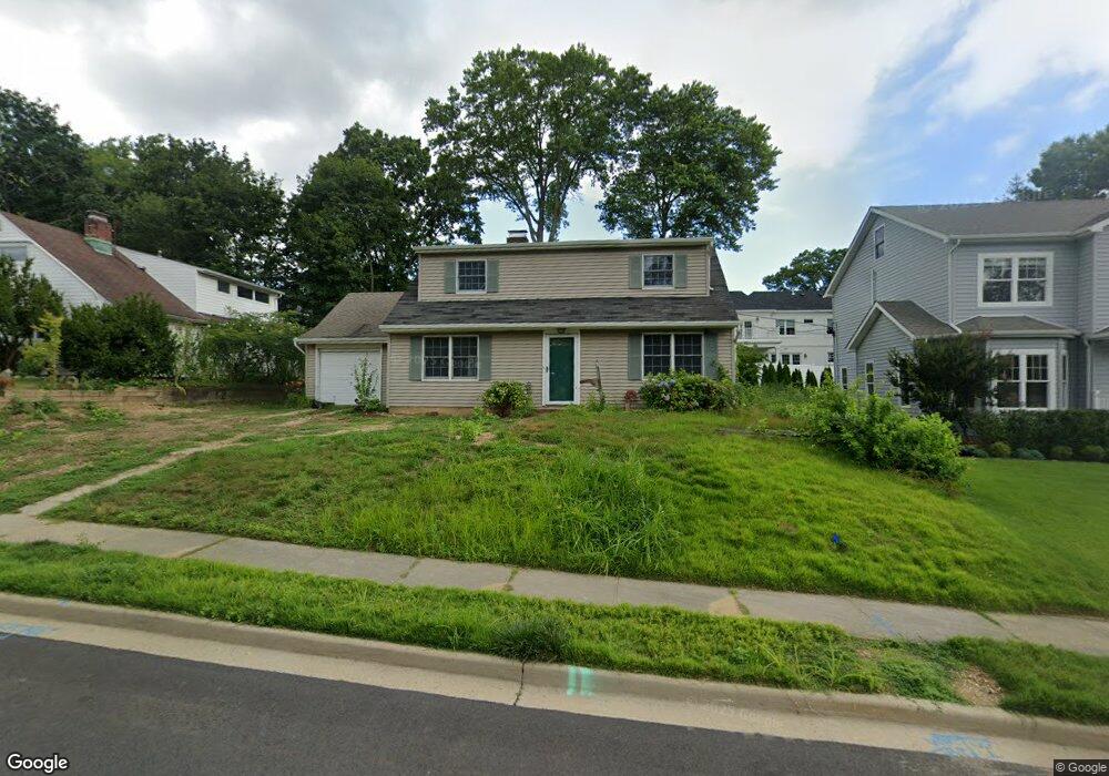
47 Wakefield Ave Port Washington, NY 11050
Estimated Value: $1,045,782
--
Bed
2
Baths
1,586
Sq Ft
$659/Sq Ft
Est. Value
About This Home
This home is located at 47 Wakefield Ave, Port Washington, NY 11050 and is currently estimated at $1,045,782, approximately $659 per square foot. 47 Wakefield Ave is a home located in Nassau County with nearby schools including South Salem Elementary School, Carrie Palmer Weber Middle School, and Paul D. Schreiber Senior High School.
Ownership History
Date
Name
Owned For
Owner Type
Purchase Details
Closed on
Jan 24, 2025
Sold by
Scaglione William
Bought by
Wakefield Developers Llc
Current Estimated Value
Purchase Details
Closed on
Oct 25, 2024
Sold by
Butler Christine M and Butler Van Dusen
Bought by
Scaglione William
Purchase Details
Closed on
Dec 13, 2023
Sold by
Vandusen Patricia I
Bought by
Vandusen Patricia I and Patricia I Van Dusen Living Trust
Create a Home Valuation Report for This Property
The Home Valuation Report is an in-depth analysis detailing your home's value as well as a comparison with similar homes in the area
Home Values in the Area
Average Home Value in this Area
Purchase History
| Date | Buyer | Sale Price | Title Company |
|---|---|---|---|
| Wakefield Developers Llc | -- | None Available | |
| Wakefield Developers Llc | -- | None Available | |
| Scaglione William | $750,000 | First American Title Ins Co | |
| Scaglione William | $750,000 | First American Title Ins Co | |
| Vandusen Patricia I | -- | None Available | |
| Vandusen Patricia I | -- | None Available | |
| Vandusen Patricia I | -- | None Available |
Source: Public Records
Tax History Compared to Growth
Tax History
| Year | Tax Paid | Tax Assessment Tax Assessment Total Assessment is a certain percentage of the fair market value that is determined by local assessors to be the total taxable value of land and additions on the property. | Land | Improvement |
|---|---|---|---|---|
| 2025 | $13,428 | $668 | $371 | $297 |
| 2024 | $4,592 | $672 | $373 | $299 |
| 2023 | $13,909 | $756 | $419 | $337 |
| 2022 | $13,909 | $780 | $433 | $347 |
| 2021 | $14,427 | $770 | $427 | $343 |
| 2020 | $14,136 | $1,296 | $1,042 | $254 |
| 2019 | $15,706 | $1,296 | $1,042 | $254 |
| 2018 | $14,567 | $1,296 | $0 | $0 |
| 2017 | $7,899 | $1,296 | $1,042 | $254 |
| 2016 | $13,130 | $1,296 | $1,042 | $254 |
| 2015 | $5,088 | $1,296 | $1,042 | $254 |
| 2014 | $5,088 | $1,296 | $1,042 | $254 |
| 2013 | $4,785 | $1,296 | $1,042 | $254 |
Source: Public Records
Map
Nearby Homes
- 12 Lowell Rd
- 38 Country Club Dr
- 41 Birch St
- 18 Neulist Ave
- 47 Homewood Place
- 21A Neulist Ave
- 499 Stonytown Rd
- 27 Neulist Ave
- 19 Concord Rd
- 57 Marino Ave
- 27 Hemlock Rd
- 40 Hewlett Ln
- 79 Farmview Rd
- 70 Highland Ave
- 13 Chanticlare Dr
- 81 Highland Ave
- 117 Crabapple Rd
- 8 Knolls Ln
- 220 Elderfields Rd
- 11 Park Ave
- 45 Wakefield Ave
- 51 Wakefield Ave
- 40 Guilford Rd
- 38 Guilford Rd
- 43 Wakefield Ave
- 42 Guilford Rd
- 53 Wakefield Ave
- 48 Wakefield Ave
- 50 Wakefield Ave
- 36 Guilford Rd
- 46 Wakefield Ave
- 52 Wakefield Ave
- 41 Wakefield Ave
- 34 Guilford Rd
- 44 Wakefield Ave
- 54 Wakefield Ave
- 55 Wakefield Ave
- 39 Wakefield Ave
- 42 Wakefield Ave