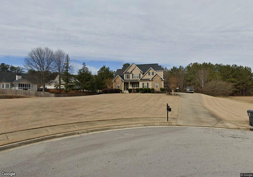
47 Weatherstone Way Dallas, GA 30157
Estimated Value: $362,470 - $456,000
3
Beds
3
Baths
2,279
Sq Ft
$179/Sq Ft
Est. Value
About This Home
This home is located at 47 Weatherstone Way, Dallas, GA 30157 and is currently estimated at $407,868, approximately $178 per square foot. 47 Weatherstone Way is a home located in Paulding County with nearby schools including Allgood Elementary School, South Paulding Middle School, and Paulding County High School.
Ownership History
Date
Name
Owned For
Owner Type
Purchase Details
Closed on
Jul 10, 2009
Sold by
Crm Central Properties Llc
Bought by
Sexton Lowell D and Sexton Debbie J
Current Estimated Value
Home Financials for this Owner
Home Financials are based on the most recent Mortgage that was taken out on this home.
Original Mortgage
$162,000
Outstanding Balance
$105,516
Interest Rate
5.27%
Mortgage Type
New Conventional
Estimated Equity
$302,352
Purchase Details
Closed on
May 10, 2006
Sold by
T & S Development Inc
Bought by
Dsst Inc
Home Financials for this Owner
Home Financials are based on the most recent Mortgage that was taken out on this home.
Original Mortgage
$192,000
Interest Rate
6.54%
Mortgage Type
Stand Alone Second
Create a Home Valuation Report for This Property
The Home Valuation Report is an in-depth analysis detailing your home's value as well as a comparison with similar homes in the area
Home Values in the Area
Average Home Value in this Area
Purchase History
| Date | Buyer | Sale Price | Title Company |
|---|---|---|---|
| Sexton Lowell D | $180,000 | -- | |
| Dsst Inc | $181,000 | -- |
Source: Public Records
Mortgage History
| Date | Status | Borrower | Loan Amount |
|---|---|---|---|
| Open | Sexton Lowell D | $162,000 | |
| Previous Owner | Dsst Inc | $192,000 |
Source: Public Records
Tax History Compared to Growth
Tax History
| Year | Tax Paid | Tax Assessment Tax Assessment Total Assessment is a certain percentage of the fair market value that is determined by local assessors to be the total taxable value of land and additions on the property. | Land | Improvement |
|---|---|---|---|---|
| 2024 | $3,120 | $128,680 | $12,000 | $116,680 |
| 2023 | $3,695 | $144,240 | $12,000 | $132,240 |
| 2022 | $3,131 | $121,960 | $12,000 | $109,960 |
| 2021 | $2,723 | $95,560 | $12,000 | $83,560 |
| 2020 | $2,559 | $88,000 | $16,000 | $72,000 |
| 2019 | $2,765 | $93,640 | $16,000 | $77,640 |
| 2018 | $2,354 | $80,000 | $10,000 | $70,000 |
| 2017 | $2,310 | $77,480 | $10,000 | $67,480 |
| 2016 | $1,753 | $59,840 | $10,000 | $49,840 |
| 2015 | $2,011 | $67,200 | $10,000 | $57,200 |
| 2014 | $1,789 | $58,520 | $10,000 | $48,520 |
| 2013 | -- | $59,320 | $10,000 | $49,320 |
Source: Public Records
Map
Nearby Homes
- 61 Weatherstone Way
- 202 Somersby Dr
- 180 Somersby Dr
- 25 Weatherstone Way
- 66 Weatherstone Way
- 220 Somersby Dr
- 122 Somersby Dr
- 240 Somersby Dr
- 205 Somersby Dr
- 0 Somersby Dr Unit 16 LOT
- 0 Somersby Dr Unit 8550595
- 0 Somersby Dr Unit 8551249
- 0 Somersby Dr Unit 7509981
- 0 Somersby Dr Unit 8960510
- 0 Somersby Dr Unit 8849713
- 0 Somersby Dr Unit 9012655
- 0 Somersby Dr Unit 9026404
- 0 Somersby Dr Unit 8826015
- 0 Somersby Dr Unit 9030979
- 0 Somersby Dr Unit 9044547