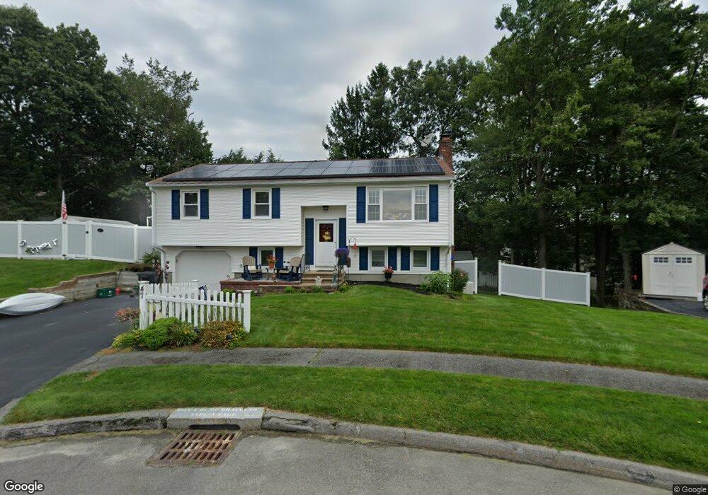
47 Westport Rd Worcester, MA 01605
Forest Grove NeighborhoodEstimated Value: $473,000 - $508,000
3
Beds
3
Baths
1,080
Sq Ft
$453/Sq Ft
Est. Value
About This Home
This home is located at 47 Westport Rd, Worcester, MA 01605 and is currently estimated at $488,849, approximately $452 per square foot. 47 Westport Rd is a home located in Worcester County with nearby schools including Nelson Place Elementary School, Jacob Hiatt Magnet School, and Chandler Magnet.
Create a Home Valuation Report for This Property
The Home Valuation Report is an in-depth analysis detailing your home's value as well as a comparison with similar homes in the area
Home Values in the Area
Average Home Value in this Area
Tax History Compared to Growth
Tax History
| Year | Tax Paid | Tax Assessment Tax Assessment Total Assessment is a certain percentage of the fair market value that is determined by local assessors to be the total taxable value of land and additions on the property. | Land | Improvement |
|---|---|---|---|---|
| 2025 | $6,174 | $468,100 | $119,000 | $349,100 |
| 2024 | $6,013 | $437,300 | $119,000 | $318,300 |
| 2023 | $5,934 | $413,800 | $103,400 | $310,400 |
| 2022 | $5,181 | $340,600 | $82,800 | $257,800 |
| 2021 | $5,161 | $317,000 | $66,200 | $250,800 |
| 2020 | $4,935 | $290,300 | $66,200 | $224,100 |
| 2019 | $4,837 | $268,700 | $59,700 | $209,000 |
| 2018 | $4,873 | $257,700 | $59,700 | $198,000 |
| 2017 | $4,676 | $243,300 | $59,700 | $183,600 |
| 2016 | $4,668 | $226,500 | $44,400 | $182,100 |
| 2015 | $4,546 | $226,500 | $44,400 | $182,100 |
| 2014 | $4,426 | $226,500 | $44,400 | $182,100 |
Source: Public Records
Map
Nearby Homes
- 7 Otter Trail
- 17 Leslie Rd
- 12 Tattan Farm Rd
- 303 Greenwich Ct Unit 303
- 3901 Knightsbridge Close Unit 3901
- 4004 Brompton Cir
- 61 Barry Rd
- 49 Barry Rd
- 46 Barry Rd
- 97 Parkton Ave
- 9 Emily St
- 90 Lynnwood Ln
- 770 Salisbury St Unit 201
- 27 Tea Party Cir Unit 27
- 308 Holden St
- 4 Barrows Rd
- 2 Explorers Way Unit 2
- 82 Holden St
- 8 Indian Cir Unit 8
- 113 Indian Hill Rd