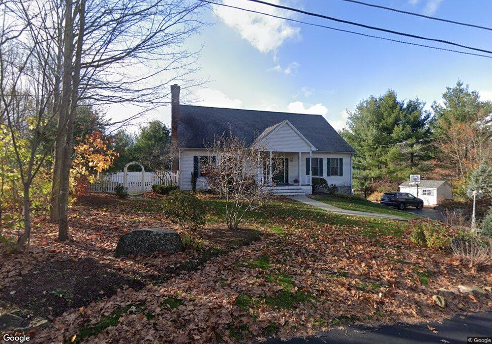
47 Willard Rd Sturbridge, MA 01566
Estimated Value: $602,104 - $684,000
3
Beds
3
Baths
2,700
Sq Ft
$235/Sq Ft
Est. Value
About This Home
This home is located at 47 Willard Rd, Sturbridge, MA 01566 and is currently estimated at $634,276, approximately $234 per square foot. 47 Willard Rd is a home located in Worcester County with nearby schools including Burgess Elementary School, Tantasqua Regional Junior High School, and Tantasqua Regional High School.
Ownership History
Date
Name
Owned For
Owner Type
Purchase Details
Closed on
Jul 1, 2003
Sold by
Watson Bldg & Remodel and Watson Prescott A
Bought by
Holland Jacquelyn and Solari Jeffrey B
Current Estimated Value
Home Financials for this Owner
Home Financials are based on the most recent Mortgage that was taken out on this home.
Original Mortgage
$274,500
Interest Rate
5.53%
Mortgage Type
Purchase Money Mortgage
Create a Home Valuation Report for This Property
The Home Valuation Report is an in-depth analysis detailing your home's value as well as a comparison with similar homes in the area
Home Values in the Area
Average Home Value in this Area
Purchase History
| Date | Buyer | Sale Price | Title Company |
|---|---|---|---|
| Holland Jacquelyn | $305,000 | -- |
Source: Public Records
Mortgage History
| Date | Status | Borrower | Loan Amount |
|---|---|---|---|
| Open | Holland Jacquelyn | $277,600 | |
| Closed | Holland Jacquelyn | $274,500 |
Source: Public Records
Tax History
| Year | Tax Paid | Tax Assessment Tax Assessment Total Assessment is a certain percentage of the fair market value that is determined by local assessors to be the total taxable value of land and additions on the property. | Land | Improvement |
|---|---|---|---|---|
| 2025 | $8,284 | $520,000 | $77,900 | $442,100 |
| 2024 | $7,933 | $481,100 | $76,500 | $404,600 |
| 2023 | $7,720 | $427,200 | $66,800 | $360,400 |
| 2022 | $7,453 | $389,200 | $60,400 | $328,800 |
| 2021 | $6,649 | $349,600 | $57,600 | $292,000 |
| 2020 | $6,649 | $349,600 | $57,600 | $292,000 |
| 2019 | $6,310 | $329,500 | $59,400 | $270,100 |
| 2018 | $6,240 | $321,000 | $56,600 | $264,400 |
| 2017 | $5,938 | $306,100 | $54,300 | $251,800 |
| 2016 | $5,705 | $297,000 | $52,700 | $244,300 |
| 2015 | $5,616 | $291,900 | $52,700 | $239,200 |
Source: Public Records
Map
Nearby Homes
- 14 Maple St
- 9 Haynes St
- 8 Village Green
- 0 Fiske Hill Rd
- 74 Fairview Park Rd
- 365 Main St Unit 3
- 1 Chase Rd
- 368 Main St
- Lot B-6 River Rd
- 73 New Boston Rd
- 26 Cedar Lake Dr
- 3 Berry Farms Road - Jv
- 19 Pinrock Dr
- Lot 1 Berry Farms Road-2 Acre
- 22 Pinrock Dr
- 6 Berry Farms Rd Unit 64
- 12 Pinrock Dr
- 74 River Rd
- 6 Pinrock Dr
- 7 Crescent Way Unit 302
- 46 Willard Rd
- 42 Willard Rd
- 36 Willard Rd
- 35 Willard Rd
- 34 Willard Rd
- 10 Whittemore Rd
- 360 Main St Unit 255
- 360 Main St Unit 150
- 360 Main St Unit 358
- 360 Main St Unit 253
- 360 Main St Unit 357
- 360 Main St Unit 261
- 360 Main St Unit 352
- 360 Main St Unit 252
- 360 Main St Unit 362
- 360 Main St Unit 351
- 360 Main St Unit 350
- 360 Main St Unit 258
- 360 Main St Unit 251
- 360 Main St Unit 353
Your Personal Tour Guide
Ask me questions while you tour the home.