Estimated Value: $500,000 - $732,000
Studio
--
Bath
308
Sq Ft
$1,906/Sq Ft
Est. Value
About This Home
This home is located at 47 Wing Ln, Wayne, ME 04284 and is currently estimated at $586,921, approximately $1,905 per square foot. 47 Wing Ln is a home.
Ownership History
Date
Name
Owned For
Owner Type
Purchase Details
Closed on
Jul 20, 2006
Sold by
Mckenna James
Bought by
Mckenna Jane E
Current Estimated Value
Create a Home Valuation Report for This Property
The Home Valuation Report is an in-depth analysis detailing your home's value as well as a comparison with similar homes in the area
Home Values in the Area
Average Home Value in this Area
Purchase History
| Date | Buyer | Sale Price | Title Company |
|---|---|---|---|
| Mckenna Jane E | -- | -- |
Source: Public Records
Tax History
| Year | Tax Paid | Tax Assessment Tax Assessment Total Assessment is a certain percentage of the fair market value that is determined by local assessors to be the total taxable value of land and additions on the property. | Land | Improvement |
|---|---|---|---|---|
| 2024 | $6,329 | $535,000 | $397,000 | $138,000 |
| 2023 | $6,538 | $317,400 | $258,700 | $58,700 |
| 2022 | $5,935 | $314,500 | $258,700 | $55,800 |
| 2021 | $5,648 | $314,500 | $258,700 | $55,800 |
| 2020 | $5,701 | $317,400 | $258,700 | $58,700 |
| 2019 | $5,701 | $317,400 | $258,700 | $58,700 |
| 2017 | $5,092 | $314,500 | $258,700 | $55,800 |
| 2016 | $4,664 | $314,500 | $258,700 | $55,800 |
| 2015 | $4,582 | $314,500 | $258,700 | $55,800 |
| 2014 | $4,519 | $314,500 | $258,700 | $55,800 |
| 2013 | $4,466 | $314,500 | $258,700 | $55,800 |
Source: Public Records
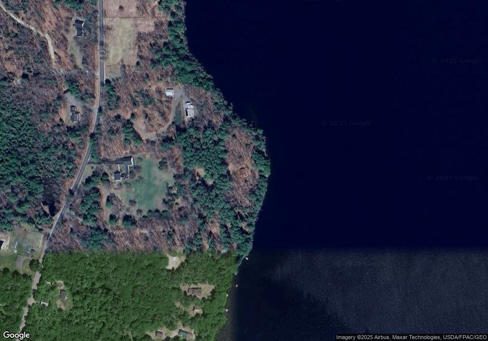
Map
Nearby Homes
- 286 Pond Rd
- 506 Main St
- M 6, L 32 Main St
- Lot 39 Main St
- 29 Kents Hill Rd
- 57 Deer Hill Rd
- 75 Lovejoy Shores Dr
- 1835 Main St
- 156 Lakeshore Dr
- 9 Russell St
- 1477 Main St
- 132 Hunton Loop
- 155 Old Kents Hill Rd
- Lot 42C Baldwin Hill Rd
- Lot 48-4 Baldwin Hill Rd
- 0 Baldwin Hill Rd Unit 1624053
- 1588 Pond Rd
- 36 Mountain View Ln
- 974 Sturtevant Hill Rd
- 60 Route 41
Your Personal Tour Guide
Ask me questions while you tour the home.