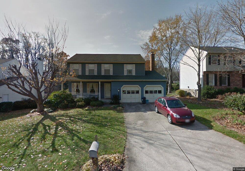
470 Abbey Cir Abingdon, MD 21009
Estimated Value: $463,000 - $570,000
--
Bed
3
Baths
2,342
Sq Ft
$214/Sq Ft
Est. Value
About This Home
This home is located at 470 Abbey Cir, Abingdon, MD 21009 and is currently estimated at $500,435, approximately $213 per square foot. 470 Abbey Cir is a home located in Harford County with nearby schools including Homestead-Wakefield Elementary School, Patterson Mill Middle School, and Patterson Mill High School.
Ownership History
Date
Name
Owned For
Owner Type
Purchase Details
Closed on
Oct 6, 1994
Sold by
Osterby Roy F
Bought by
Stuff John R
Current Estimated Value
Home Financials for this Owner
Home Financials are based on the most recent Mortgage that was taken out on this home.
Original Mortgage
$154,375
Interest Rate
8.55%
Purchase Details
Closed on
Feb 15, 1990
Sold by
Hufziger Mark J
Bought by
Osterby Roy F
Home Financials for this Owner
Home Financials are based on the most recent Mortgage that was taken out on this home.
Original Mortgage
$120,800
Interest Rate
10.21%
Create a Home Valuation Report for This Property
The Home Valuation Report is an in-depth analysis detailing your home's value as well as a comparison with similar homes in the area
Home Values in the Area
Average Home Value in this Area
Purchase History
| Date | Buyer | Sale Price | Title Company |
|---|---|---|---|
| Stuff John R | $162,500 | -- | |
| Osterby Roy F | $151,000 | -- |
Source: Public Records
Mortgage History
| Date | Status | Borrower | Loan Amount |
|---|---|---|---|
| Closed | Stuff John R | $154,375 | |
| Previous Owner | Osterby Roy F | $120,800 |
Source: Public Records
Tax History Compared to Growth
Tax History
| Year | Tax Paid | Tax Assessment Tax Assessment Total Assessment is a certain percentage of the fair market value that is determined by local assessors to be the total taxable value of land and additions on the property. | Land | Improvement |
|---|---|---|---|---|
| 2025 | $3,885 | $390,467 | $0 | $0 |
| 2024 | $3,620 | $364,533 | $0 | $0 |
| 2023 | $3,620 | $338,600 | $100,500 | $238,100 |
| 2022 | $3,620 | $332,167 | $0 | $0 |
| 2021 | $3,685 | $325,733 | $0 | $0 |
| 2020 | $3,685 | $319,300 | $100,500 | $218,800 |
| 2019 | $3,652 | $316,500 | $0 | $0 |
| 2018 | $3,587 | $313,700 | $0 | $0 |
| 2017 | $3,555 | $310,900 | $0 | $0 |
| 2016 | -- | $306,433 | $0 | $0 |
| 2015 | $3,232 | $301,967 | $0 | $0 |
| 2014 | $3,232 | $297,500 | $0 | $0 |
Source: Public Records
Map
Nearby Homes
- 603 E Wheel Rd Unit (11.65 ACRES)
- 603 E Wheel Rd
- 2605 Colpepper Rd
- 607 E Wheel Rd
- 2414 Laurel Bush Rd
- 2608 Laurel Valley Garth
- 2638 Smallwood Dr
- 511 Cedar Hill Ct
- 2214 Erin Way
- 2411 Grand Oaks Ct
- 745 Dowers Rd
- 129 Long Meadow Ct
- 211 E Wheel Rd
- 111 Cinnamon Tree Dr
- 2406 Monarch Way
- 2521 Merrick Ct
- 2601 Merrick Way
- 2530 Merrick Ct
- 306 Fox Hound Ct
- 2853 Browning Ct