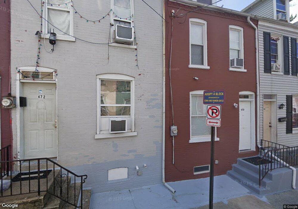
470 Atlantic Ave Lancaster, PA 17602
Churchtowne NeighborhoodEstimated Value: $140,825 - $161,000
4
Beds
1
Bath
1,016
Sq Ft
$148/Sq Ft
Est. Value
About This Home
This home is located at 470 Atlantic Ave, Lancaster, PA 17602 and is currently estimated at $150,456, approximately $148 per square foot. 470 Atlantic Ave is a home located in Lancaster County with nearby schools including Carter & MacRae Elementary School, Reynolds Middle School, and McCaskey High School.
Ownership History
Date
Name
Owned For
Owner Type
Purchase Details
Closed on
Dec 22, 2023
Sold by
Osborne Robert W
Bought by
Winton Equities Llc
Current Estimated Value
Purchase Details
Closed on
Feb 10, 2011
Sold by
Butcher Louis A
Bought by
Osborne Robert W
Create a Home Valuation Report for This Property
The Home Valuation Report is an in-depth analysis detailing your home's value as well as a comparison with similar homes in the area
Home Values in the Area
Average Home Value in this Area
Purchase History
| Date | Buyer | Sale Price | Title Company |
|---|---|---|---|
| Winton Equities Llc | -- | None Listed On Document | |
| Osborne Robert W | $10,000 | None Available |
Source: Public Records
Tax History Compared to Growth
Tax History
| Year | Tax Paid | Tax Assessment Tax Assessment Total Assessment is a certain percentage of the fair market value that is determined by local assessors to be the total taxable value of land and additions on the property. | Land | Improvement |
|---|---|---|---|---|
| 2025 | $1,476 | $37,300 | $4,900 | $32,400 |
| 2024 | $1,476 | $37,300 | $4,900 | $32,400 |
| 2023 | $1,451 | $37,300 | $4,900 | $32,400 |
| 2022 | $1,391 | $37,300 | $4,900 | $32,400 |
| 2021 | $1,361 | $37,300 | $4,900 | $32,400 |
| 2020 | $1,361 | $37,300 | $4,900 | $32,400 |
| 2019 | $1,341 | $37,300 | $4,900 | $32,400 |
| 2018 | $796 | $37,300 | $4,900 | $32,400 |
| 2017 | $2,095 | $45,600 | $5,100 | $40,500 |
| 2016 | $2,075 | $45,600 | $5,100 | $40,500 |
| 2015 | $810 | $45,600 | $5,100 | $40,500 |
| 2014 | $1,811 | $45,600 | $5,100 | $40,500 |
Source: Public Records
Map
Nearby Homes
- 462 S Christian St
- 507 Locust St
- 536 Woodward St
- 513 Howard Ave
- 520 S Duke St
- 555 Woodward St
- 567 S Christian St
- 459 S Queen St
- 316 Beaver St
- 14 E Farnum St
- 341 S Prince St
- 518 Green St
- 506 Beaver St
- 348 S Prince St
- 346 S Prince St
- 530 S Lime St
- 543 S Prince St
- 561 S Lime St
- 641 S Queen St
- 429 Hillside Ave
- 468 Atlantic Ave
- 466 Atlantic Ave
- 474 Atlantic Ave
- 464 Atlantic Ave
- 462 Atlantic Ave
- 530 Chester St
- 460 Atlantic Ave
- 532 Chester St
- 458 Atlantic Ave
- 534 Chester St
- 469 Atlantic Ave
- 471 Atlantic Ave
- 467 Atlantic Ave
- 465 Atlantic Ave
- 473 Atlantic Ave
- 463 Atlantic Ave
- 454 Atlantic Ave
- 531 Chester St
- 461 Atlantic Ave
- 538 Chester St