470 Big Sky Dr Murphy, NC 28906
Estimated Value: $499,000 - $566,000
3
Beds
3
Baths
1,939
Sq Ft
$268/Sq Ft
Est. Value
About This Home
This home is located at 470 Big Sky Dr, Murphy, NC 28906 and is currently estimated at $519,748, approximately $268 per square foot. 470 Big Sky Dr is a home located in Cherokee County with nearby schools including Murphy Elementary School, Murphy Middle School, and Murphy High School.
Ownership History
Date
Name
Owned For
Owner Type
Purchase Details
Closed on
Jul 27, 2021
Sold by
Bradberry Michael R and Bradberry Tammy R
Bought by
Keeton Kerry J and Keeton Tawny S
Current Estimated Value
Home Financials for this Owner
Home Financials are based on the most recent Mortgage that was taken out on this home.
Original Mortgage
$239,000
Outstanding Balance
$216,522
Interest Rate
2.8%
Mortgage Type
New Conventional
Estimated Equity
$303,226
Purchase Details
Closed on
Jan 31, 2018
Sold by
Premier Land Development Llc
Bought by
Bradberry Michael R and Bradberry Tammy R
Create a Home Valuation Report for This Property
The Home Valuation Report is an in-depth analysis detailing your home's value as well as a comparison with similar homes in the area
Home Values in the Area
Average Home Value in this Area
Purchase History
| Date | Buyer | Sale Price | Title Company |
|---|---|---|---|
| Keeton Kerry J | $439,000 | None Available | |
| Bradberry Michael R | $35,000 | None Available |
Source: Public Records
Mortgage History
| Date | Status | Borrower | Loan Amount |
|---|---|---|---|
| Open | Keeton Kerry J | $239,000 |
Source: Public Records
Tax History Compared to Growth
Tax History
| Year | Tax Paid | Tax Assessment Tax Assessment Total Assessment is a certain percentage of the fair market value that is determined by local assessors to be the total taxable value of land and additions on the property. | Land | Improvement |
|---|---|---|---|---|
| 2025 | $1,781 | $239,220 | $0 | $0 |
| 2024 | $1,781 | $239,220 | $0 | $0 |
| 2023 | $1,771 | $239,220 | $0 | $0 |
| 2022 | $1,771 | $239,220 | $0 | $0 |
| 2021 | $0 | $239,220 | $23,000 | $216,220 |
| 2020 | $1,443 | $239,220 | $0 | $0 |
| 2019 | $1,321 | $201,360 | $0 | $0 |
Source: Public Records
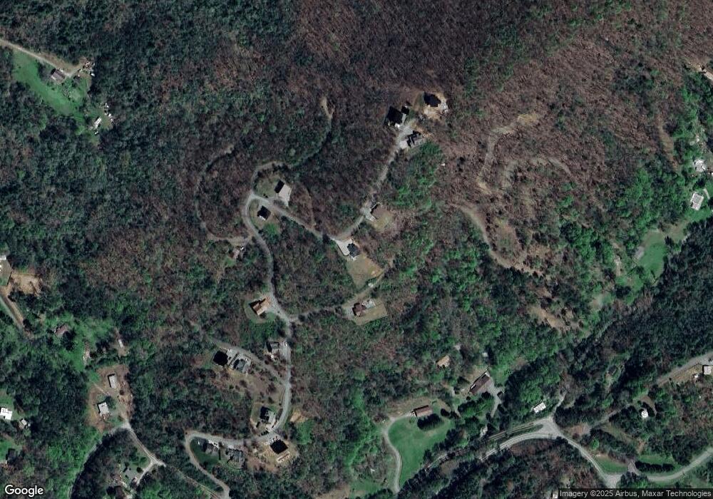
Map
Nearby Homes
- 61 Lunar Trace
- 595 Big Sky Dr
- lot 40 Big Sky Dr
- 1860 Joe Brown Hwy
- 179.88 Fain Peak
- 64.41 Fain Peak
- 530 Hanging Dog Rd
- 00 Joe Brown Hwy
- 0 Fain Peak
- 179.88 Ac Fain Peak
- 57 Holland Ln
- 1932 Tanglewood Rd
- 55 Laurel Spring Dr
- 198 Old Dogwood Dr
- 311 Legendary Ridge Rd
- End of Tanglewood Ridge
- 50 Tanglewood Ridge
- Lot 27 Joe Brown Hwy
- Lot 26 Joe Brown Hwy
- Lot I-6 Joe Brown Hwy
- 56 Southview Trail
- 520 Big Sky Dr
- 39 Big Sky Dr
- LOT10 Big Sky
- LOT47 Big Sky
- Lot 36 Horizon Ln
- Lot 32 Horizon Ln
- 235 Big Sky Dr
- 275 Big Sky Dr
- 598 Big Sky Dr
- 15 Lookout Point
- 17 Lunar Trace
- 18 Lunar Trace
- LOT17 Lunar Trace
- LOT18 Lunar Trace
- Lot 18 Lunar Trace
- Lot 18 Lunar Trace
- Lot 17 Lunar Trace
- 61 Lunar Trace Unit 18
- 82 Burton Killian Rd