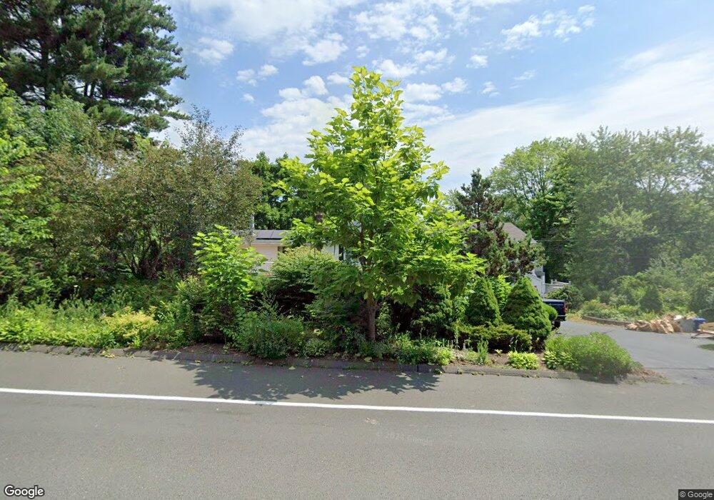
470 Bloomfield Ave Bloomfield, CT 06002
Estimated Value: $435,908 - $530,000
4
Beds
3
Baths
1,828
Sq Ft
$264/Sq Ft
Est. Value
About This Home
This home is located at 470 Bloomfield Ave, Bloomfield, CT 06002 and is currently estimated at $481,727, approximately $263 per square foot. 470 Bloomfield Ave is a home located in Hartford County with nearby schools including Carmen Arace Intermediate School, Metacomet School, and Laurel School.
Ownership History
Date
Name
Owned For
Owner Type
Purchase Details
Closed on
Nov 18, 2024
Sold by
Carter Lena M
Bought by
Carter Kenneth R
Current Estimated Value
Purchase Details
Closed on
Jun 7, 1999
Sold by
Paddyfort Kenneth
Bought by
Shirlepaddyfoli
Create a Home Valuation Report for This Property
The Home Valuation Report is an in-depth analysis detailing your home's value as well as a comparison with similar homes in the area
Home Values in the Area
Average Home Value in this Area
Purchase History
| Date | Buyer | Sale Price | Title Company |
|---|---|---|---|
| Carter Kenneth R | -- | None Available | |
| Carter Kenneth R | -- | None Available | |
| Carter Kenneth R | -- | None Available | |
| Shirlepaddyfoli | $135,000 | -- | |
| Shirlepaddyfoli | $135,000 | -- |
Source: Public Records
Mortgage History
| Date | Status | Borrower | Loan Amount |
|---|---|---|---|
| Previous Owner | Shirlepaddyfoli | $144,000 | |
| Previous Owner | Shirlepaddyfoli | $129,000 | |
| Previous Owner | Shirlepaddyfoli | $160,000 |
Source: Public Records
Tax History
| Year | Tax Paid | Tax Assessment Tax Assessment Total Assessment is a certain percentage of the fair market value that is determined by local assessors to be the total taxable value of land and additions on the property. | Land | Improvement |
|---|---|---|---|---|
| 2025 | $11,169 | $297,850 | $46,060 | $251,790 |
| 2024 | $6,924 | $176,440 | $34,200 | $142,240 |
| 2023 | $6,798 | $176,440 | $34,200 | $142,240 |
| 2022 | $6,357 | $176,440 | $34,200 | $142,240 |
| 2021 | $6,498 | $176,440 | $34,200 | $142,240 |
| 2020 | $6,398 | $176,440 | $34,200 | $142,240 |
| 2019 | $6,721 | $173,850 | $34,200 | $139,650 |
| 2018 | $6,367 | $164,850 | $34,510 | $130,340 |
| 2017 | $6,357 | $164,850 | $34,510 | $130,340 |
| 2016 | $6,207 | $164,850 | $34,510 | $130,340 |
| 2015 | $6,091 | $164,850 | $34,510 | $130,340 |
| 2014 | $6,340 | $177,380 | $46,410 | $130,970 |
Source: Public Records
Map
Nearby Homes
- 41 Timberwood Rd
- 25 Hilldale Rd
- 55 Sunny Reach Dr
- 1347 Hall Blvd
- 17 Harwich Ln Unit 17
- 40 Cottage Grove Cir
- 49 Tyler St
- 148 King Philip Dr
- 6 Spy Glass Cir
- 79 Prospect St
- 171 N Canaan St
- 165 Bloomfield Ave
- 180 Brookline Ave
- 111 Bloomfield Ave
- 153 Brewster Rd
- 256 Park Ave
- 33 Trotwood Dr
- 75 Bloomfield Ave
- 69 Bloomfield Ave
- 1 King Philip Dr Unit 209
- 464 Bloomfield Ave
- 21 Kenwood Cir
- 484 Bloomfield Ave
- 19 Kenwood Cir
- 23 Kenwood Cir
- 17 Kenwood Cir
- 460 Bloomfield Ave
- 486 Bloomfield Ave
- 3 Westbrook Rd
- 22 Kenwood Cir
- 20 Kenwood Cir
- 24 Kenwood Cir
- 18 Kenwood Cir
- 5 Westbrook Rd
- 488 Bloomfield Ave
- 490 Bloomfield Ave
- 2 Stillman Rd
- 11 Kenwood Cir
- 10 Westbrook Rd
- 3 Stillman Rd
Your Personal Tour Guide
Ask me questions while you tour the home.