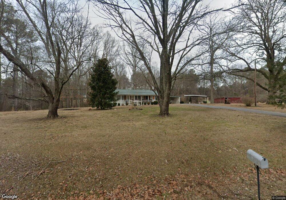
470 Browning Rd Rockmart, GA 30153
Estimated Value: $206,000 - $345,000
2
Beds
1
Bath
1,392
Sq Ft
$179/Sq Ft
Est. Value
About This Home
This home is located at 470 Browning Rd, Rockmart, GA 30153 and is currently estimated at $249,751, approximately $179 per square foot. 470 Browning Rd is a home located in Polk County.
Ownership History
Date
Name
Owned For
Owner Type
Purchase Details
Closed on
Oct 16, 2023
Sold by
Lester Dwain
Bought by
Tyson Floyd Joseph
Current Estimated Value
Home Financials for this Owner
Home Financials are based on the most recent Mortgage that was taken out on this home.
Original Mortgage
$143,000
Outstanding Balance
$140,220
Interest Rate
7.18%
Mortgage Type
New Conventional
Estimated Equity
$109,531
Purchase Details
Closed on
Aug 17, 2005
Sold by
Lester David L
Bought by
Lester Minnie Louise*Executrix
Purchase Details
Closed on
Dec 14, 1998
Sold by
Lester David
Bought by
Lester David L and Minnie Louise
Create a Home Valuation Report for This Property
The Home Valuation Report is an in-depth analysis detailing your home's value as well as a comparison with similar homes in the area
Home Values in the Area
Average Home Value in this Area
Purchase History
| Date | Buyer | Sale Price | Title Company |
|---|---|---|---|
| Tyson Floyd Joseph | $195,000 | -- | |
| Lester Minnie Louise*Executrix | -- | -- | |
| Lester David L | -- | -- |
Source: Public Records
Mortgage History
| Date | Status | Borrower | Loan Amount |
|---|---|---|---|
| Open | Tyson Floyd Joseph | $143,000 |
Source: Public Records
Tax History Compared to Growth
Tax History
| Year | Tax Paid | Tax Assessment Tax Assessment Total Assessment is a certain percentage of the fair market value that is determined by local assessors to be the total taxable value of land and additions on the property. | Land | Improvement |
|---|---|---|---|---|
| 2024 | $1,571 | $75,171 | $14,127 | $61,044 |
| 2023 | $228 | $41,596 | $14,127 | $27,469 |
| 2022 | $25 | $33,065 | $9,418 | $23,647 |
| 2021 | $26 | $33,065 | $9,418 | $23,647 |
| 2020 | $26 | $33,065 | $9,418 | $23,647 |
| 2019 | $478 | $31,134 | $9,418 | $21,716 |
| 2018 | $472 | $30,462 | $9,418 | $21,044 |
| 2017 | $462 | $30,462 | $9,418 | $21,044 |
| 2016 | $394 | $27,960 | $6,916 | $21,044 |
| 2015 | $405 | $28,377 | $6,916 | $21,461 |
| 2014 | $407 | $28,377 | $6,916 | $21,461 |
Source: Public Records
Map
Nearby Homes
- 748 Maner Rd
- 0 Vinson Mountain Rd Unit 10514075
- 0 Vinson Mountain Rd Unit 7572579
- 103 New Home Rd
- 3462 Vinson Mountain Rd
- 1806 Browning Rd
- 143 Vinson Mountain Loop Rd
- 2122 Browntown Rd
- 770 Vinson Mountain Rd
- 0 Paris Mountain Rd Unit 10466638
- 0 Paris Mountain Rd Unit 10295245
- 0 Paris Mountain Rd Unit 7380930
- 82 Lexie Ct
- 159 Lexie Ct
- 3200 Rockmart Rd
- 169 Winding Valley Dr
- 62 Woodhaven Path
- 149 Lexie Ct
- 0 Hutchings Mountain Rd Unit 7653060
- 33 Tolbert Rd
- 440 Browning Rd
- 493 Browning Rd
- 413 Browning Rd
- 498 Browning Rd
- 463 Browning Rd
- 552 Browning Rd
- 390 Browning Rd
- 381 Browning Rd
- 378 Browning Rd
- 145 Maple Springs Rd
- 353 Browning Rd
- 539 Browning Rd
- 211 Maple Springs Rd
- 250 Browning Rd
- 212 Maple Springs Rd
- 142 Maple Springs Rd
- 663 Browning Rd
- 0 Maple Springs Rd Unit 8176769
- 0 Maple Springs Rd Unit 8117431
- 0 Maple Springs Rd Unit 8025552