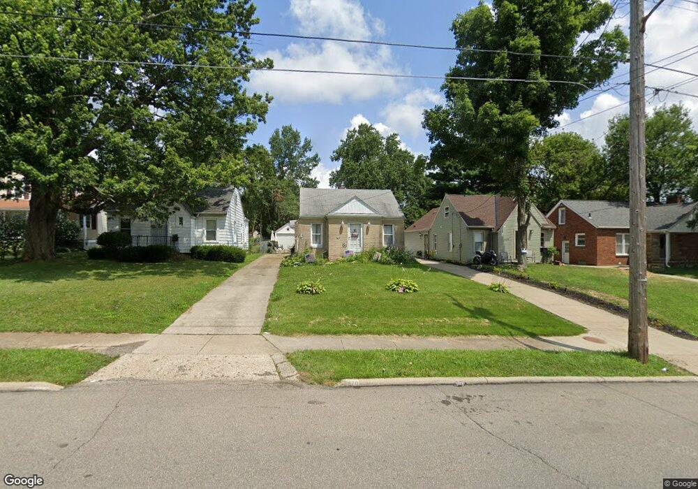
470 Cline Ave Mansfield, OH 44907
Estimated Value: $128,514 - $147,000
2
Beds
1
Bath
1,248
Sq Ft
$111/Sq Ft
Est. Value
About This Home
This home is located at 470 Cline Ave, Mansfield, OH 44907 and is currently estimated at $138,879, approximately $111 per square foot. 470 Cline Ave is a home located in Richland County with nearby schools including Discovery School, St. Peter's Elementary/Montessori School, and St. Peter's Junior High / High School.
Ownership History
Date
Name
Owned For
Owner Type
Purchase Details
Closed on
Sep 25, 2000
Sold by
Zivkoff Peter
Bought by
Hines Michael A and Hines Patricia A
Current Estimated Value
Home Financials for this Owner
Home Financials are based on the most recent Mortgage that was taken out on this home.
Original Mortgage
$73,000
Outstanding Balance
$26,870
Interest Rate
8.05%
Mortgage Type
New Conventional
Estimated Equity
$112,009
Purchase Details
Closed on
Jul 8, 1992
Sold by
Zivkoff Peter
Bought by
Zivkoff Peter
Create a Home Valuation Report for This Property
The Home Valuation Report is an in-depth analysis detailing your home's value as well as a comparison with similar homes in the area
Home Values in the Area
Average Home Value in this Area
Purchase History
| Date | Buyer | Sale Price | Title Company |
|---|---|---|---|
| Hines Michael A | $77,000 | -- | |
| Zivkoff Peter | -- | -- |
Source: Public Records
Mortgage History
| Date | Status | Borrower | Loan Amount |
|---|---|---|---|
| Open | Hines Michael A | $73,000 |
Source: Public Records
Tax History
| Year | Tax Paid | Tax Assessment Tax Assessment Total Assessment is a certain percentage of the fair market value that is determined by local assessors to be the total taxable value of land and additions on the property. | Land | Improvement |
|---|---|---|---|---|
| 2024 | $1,324 | $28,930 | $3,400 | $25,530 |
| 2023 | $1,355 | $28,930 | $3,400 | $25,530 |
| 2022 | $1,262 | $22,580 | $2,910 | $19,670 |
| 2021 | $1,270 | $22,580 | $2,910 | $19,670 |
| 2020 | $1,299 | $22,580 | $2,910 | $19,670 |
| 2019 | $1,440 | $22,580 | $2,910 | $19,670 |
| 2018 | $1,420 | $22,580 | $2,910 | $19,670 |
| 2017 | $1,408 | $22,580 | $2,910 | $19,670 |
| 2016 | $1,434 | $22,730 | $4,010 | $18,720 |
| 2015 | $1,370 | $22,730 | $4,010 | $18,720 |
| 2014 | $1,352 | $22,730 | $4,010 | $18,720 |
| 2012 | $542 | $23,920 | $4,220 | $19,700 |
Source: Public Records
Map
Nearby Homes
- 616 Cline Ave
- 455 Marion Ave
- 282 Vennum Ave
- 487 Davey Ave
- 341 Townview Cir N
- 310 Townview Cir N
- 679 Coleman Rd
- 189 Westwood Ave
- 158 Vennum Ave
- 133 Stewart Ave S
- 116 Stewart Ave S
- 456 Lexington Ave
- 466 Lexington Ave
- 470 Lexington Ave
- 0 Cline Ave Hedeen Abbeyfeale Unit 9066362
- 108 Stewart Ave S
- 695 S Andover Rd
- 575 Crescent Rd
- 655 Woodhill Rd
- 119 Carpenter Rd
Your Personal Tour Guide
Ask me questions while you tour the home.