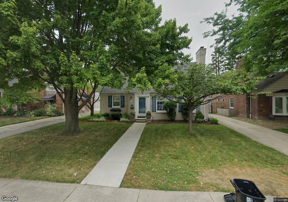
470 Colonial Ct Grosse Pointe Farms, MI 48236
Estimated Value: $345,000 - $424,000
3
Beds
2
Baths
1,702
Sq Ft
$223/Sq Ft
Est. Value
About This Home
This home is located at 470 Colonial Ct, Grosse Pointe Farms, MI 48236 and is currently estimated at $379,336, approximately $222 per square foot. 470 Colonial Ct is a home located in Wayne County with nearby schools including John Monteith Elementary School, Brownell Middle School, and Grosse Pointe North High School.
Ownership History
Date
Name
Owned For
Owner Type
Purchase Details
Closed on
Sep 23, 2011
Sold by
Williams Wendy S
Bought by
Wu Hai Xin and Tang Zhihua
Current Estimated Value
Purchase Details
Closed on
Oct 3, 2001
Sold by
Burns Wendy W
Bought by
Williams Wendy S
Create a Home Valuation Report for This Property
The Home Valuation Report is an in-depth analysis detailing your home's value as well as a comparison with similar homes in the area
Home Values in the Area
Average Home Value in this Area
Purchase History
| Date | Buyer | Sale Price | Title Company |
|---|---|---|---|
| Wu Hai Xin | $131,000 | None Available | |
| Williams Wendy S | -- | -- |
Source: Public Records
Tax History Compared to Growth
Tax History
| Year | Tax Paid | Tax Assessment Tax Assessment Total Assessment is a certain percentage of the fair market value that is determined by local assessors to be the total taxable value of land and additions on the property. | Land | Improvement |
|---|---|---|---|---|
| 2025 | $3,018 | $176,600 | $0 | $0 |
| 2024 | $3,018 | $162,200 | $0 | $0 |
| 2023 | $2,875 | $148,500 | $0 | $0 |
| 2022 | $5,370 | $136,700 | $0 | $0 |
| 2021 | $5,073 | $126,000 | $0 | $0 |
| 2019 | $4,988 | $110,600 | $0 | $0 |
| 2018 | $2,553 | $106,500 | $0 | $0 |
| 2017 | $4,429 | $103,800 | $0 | $0 |
| 2016 | $4,643 | $101,900 | $0 | $0 |
| 2015 | $9,197 | $101,500 | $0 | $0 |
| 2013 | $8,910 | $89,100 | $0 | $0 |
| 2012 | $2,370 | $89,100 | $23,400 | $65,700 |
Source: Public Records
Map
Nearby Homes
- 463 Colonial Ct
- 486 Bournemouth Rd
- 410 Roland Ct
- 1597 Newcastle Rd
- 450 Roland Rd
- 1764 Prestwick Rd
- 19299 Raymond St
- 419 Maison Rd
- 22200 Moross Rd
- 19242 Eastborne St
- 19226 Eastborne St
- 5228 Hillcrest St
- 21602 Newcastle Rd
- 19980 W Clairview Ct
- 18721 Chandler Park Dr
- 809 Fairford Rd
- 5522 Ashley St
- 5056 Lafontaine St
- 21315 Prestwick Ave
- 18929 Berden St
- 468 Colonial Ct
- 472 Colonial Ct
- 466 Colonial Ct
- 474 Colonial Ct
- 459 Lexington Rd
- 461 Lexington Rd
- 457 Lexington Rd
- 453 Lexington Rd
- 476 Colonial Ct
- 464 Colonial Ct
- 469 Colonial Ct
- 471 Colonial Ct
- 467 Colonial Ct
- 473 Colonial Ct
- 465 Colonial Ct
- 462 Colonial Ct
- 465 Lexington Rd
- 478 Colonial Ct
- 475 Colonial Ct
- 451 Lexington Rd