Estimated Value: $202,618 - $230,000
3
Beds
2
Baths
1,610
Sq Ft
$134/Sq Ft
Est. Value
About This Home
This home is located at 470 Colonial Trace Dr Unit 12F, Longs, SC 29568 and is currently estimated at $215,405, approximately $133 per square foot. 470 Colonial Trace Dr Unit 12F is a home located in Horry County with nearby schools including Riverside Elementary School, North Myrtle Beach Middle School, and North Myrtle Beach High School.
Ownership History
Date
Name
Owned For
Owner Type
Purchase Details
Closed on
Aug 31, 2004
Sold by
Marotta Robert E and Marotta Marie R
Bought by
Margulies Michael M and Margulies Wendy K
Current Estimated Value
Home Financials for this Owner
Home Financials are based on the most recent Mortgage that was taken out on this home.
Original Mortgage
$106,800
Outstanding Balance
$51,168
Interest Rate
5.92%
Mortgage Type
Purchase Money Mortgage
Estimated Equity
$164,237
Purchase Details
Closed on
Feb 15, 2000
Sold by
North Pointe Land Company Inc
Bought by
Marotta Robert E and Marotta Marie R
Home Financials for this Owner
Home Financials are based on the most recent Mortgage that was taken out on this home.
Original Mortgage
$58,500
Interest Rate
8.29%
Mortgage Type
Purchase Money Mortgage
Create a Home Valuation Report for This Property
The Home Valuation Report is an in-depth analysis detailing your home's value as well as a comparison with similar homes in the area
Home Values in the Area
Average Home Value in this Area
Purchase History
| Date | Buyer | Sale Price | Title Company |
|---|---|---|---|
| Margulies Michael M | $133,500 | -- | |
| Marotta Robert E | $107,500 | -- |
Source: Public Records
Mortgage History
| Date | Status | Borrower | Loan Amount |
|---|---|---|---|
| Open | Margulies Michael M | $106,800 | |
| Previous Owner | Marotta Robert E | $58,500 |
Source: Public Records
Tax History
| Year | Tax Paid | Tax Assessment Tax Assessment Total Assessment is a certain percentage of the fair market value that is determined by local assessors to be the total taxable value of land and additions on the property. | Land | Improvement |
|---|---|---|---|---|
| 2025 | -- | $0 | $0 | $0 |
| 2024 | -- | $14,460 | $0 | $14,460 |
| 2023 | $0 | $14,070 | $0 | $14,070 |
| 2021 | $407 | $14,070 | $0 | $14,070 |
| 2020 | $0 | $14,070 | $0 | $14,070 |
| 2019 | $273 | $14,070 | $0 | $14,070 |
| 2018 | $0 | $12,390 | $0 | $12,390 |
| 2017 | $273 | $12,390 | $0 | $12,390 |
| 2016 | -- | $12,390 | $0 | $12,390 |
| 2015 | $273 | $4,720 | $0 | $4,720 |
| 2014 | $254 | $4,720 | $0 | $4,720 |
Source: Public Records
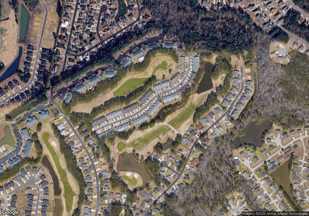
Map
Nearby Homes
- 511 Colonial Trace Dr Unit 7-C
- 850 Fairway Dr Unit 1003EE
- 510 Colonial Trace Dr Unit 8B
- 820 Fairway Dr Unit 1602-HH
- 870 Fairway Dr Unit 602CC
- 744 Sun Colony Blvd
- 764 Sun Colony Blvd
- 752 Sun Colony Blvd
- 740 Sun Colony Blvd
- 780 Charter Dr Unit B-9
- 764 Sun Colony Blvd
- 2425 Bittar Spar Rd
- 747 Sun Colony Blvd
- 190 Palmetto Green Dr
- 1426 Chanson Ct
- 740 Sun Colony Blvd
- 743 Sun Colony Blvd
- 750 Charter Dr Unit E-2
- 750 Charter Dr Unit E13
- 199 Palmetto Green Dr
- 460 Colonial Trace Dr Unit 12A
- 430 Colonial Trace Dr Unit 15F
- 468 Colonial Trace Dr Unit 12E
- 466 Colonial Trace Dr Unit 12D
- 464 Colonial Trace Dr Unit 12C
- 462 Colonial Trace Dr Unit 12B
- 503 Colonial Trace Dr Unit 503CC
- 471 Colonial Trace Dr Unit 4F
- 467 Colonial Trace Dr Unit 4D
- 461 Colonial Trace Dr Unit 4A
- 471 Colonial Trace Dr Unit 471
- 471 Colonial Trace Dr Unit F-4
- 463 Colonial Trace Dr Unit 4B
- 465 Colonial Trace Dr Unit 4C
- 469 Colonial Trace Dr Unit 4E
- 450 Colonial Trace Dr Unit 13B
- 480 Colonial Trace Dr Unit 11D
- 478 Colonial Trace Dr Unit 11C
- 476 Colonial Trace Dr Unit 11B
- 478 Colonial Trace Dr Unit 11-C Colonial T
Your Personal Tour Guide
Ask me questions while you tour the home.