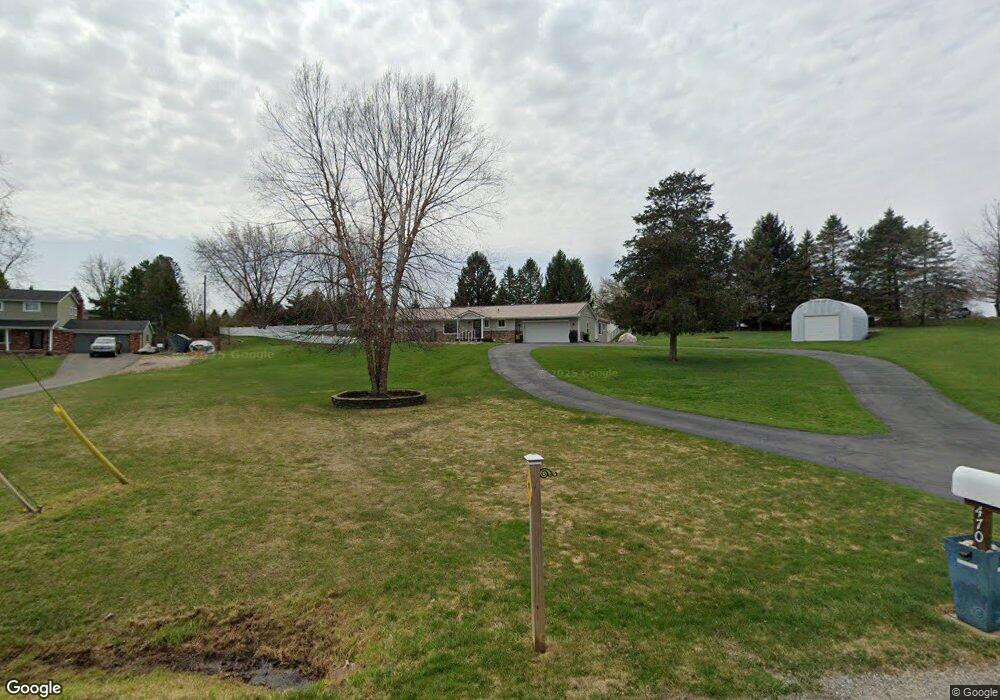
470 Dunleavy Dr Highland, MI 48356
Estimated Value: $402,499 - $427,000
4
Beds
3
Baths
2,188
Sq Ft
$190/Sq Ft
Est. Value
About This Home
This home is located at 470 Dunleavy Dr, Highland, MI 48356 and is currently estimated at $416,125, approximately $190 per square foot. 470 Dunleavy Dr is a home located in Oakland County with nearby schools including Spring Mills Elementary School and Oak Valley Middle School.
Ownership History
Date
Name
Owned For
Owner Type
Purchase Details
Closed on
Sep 17, 2018
Sold by
Palomar Albert F and Dill Palomar Danielle
Bought by
Palomar Albert F and Dill Palomar Danielle L
Current Estimated Value
Purchase Details
Closed on
Jun 1, 2006
Sold by
Peterson Michael W and Peterson Christine
Bought by
Palomar Albert F and Dill Palomar Danielle
Purchase Details
Closed on
Aug 27, 2002
Sold by
Davis Michael G
Bought by
Peterson Michael W
Home Financials for this Owner
Home Financials are based on the most recent Mortgage that was taken out on this home.
Original Mortgage
$200,000
Interest Rate
6.4%
Create a Home Valuation Report for This Property
The Home Valuation Report is an in-depth analysis detailing your home's value as well as a comparison with similar homes in the area
Home Values in the Area
Average Home Value in this Area
Purchase History
| Date | Buyer | Sale Price | Title Company |
|---|---|---|---|
| Palomar Albert F | -- | None Available | |
| Palomar Albert F | $238,000 | None Available | |
| Peterson Michael W | $220,000 | -- |
Source: Public Records
Mortgage History
| Date | Status | Borrower | Loan Amount |
|---|---|---|---|
| Previous Owner | Peterson Michael W | $200,000 |
Source: Public Records
Tax History Compared to Growth
Tax History
| Year | Tax Paid | Tax Assessment Tax Assessment Total Assessment is a certain percentage of the fair market value that is determined by local assessors to be the total taxable value of land and additions on the property. | Land | Improvement |
|---|---|---|---|---|
| 2024 | $2,318 | $164,450 | $0 | $0 |
| 2023 | $2,211 | $149,640 | $0 | $0 |
| 2022 | $3,166 | $146,160 | $0 | $0 |
| 2021 | $2,952 | $139,210 | $0 | $0 |
| 2020 | $1,991 | $129,350 | $0 | $0 |
| 2019 | $2,874 | $115,530 | $0 | $0 |
| 2018 | $2,817 | $99,910 | $0 | $0 |
| 2017 | $2,702 | $99,910 | $0 | $0 |
| 2016 | $2,647 | $96,910 | $0 | $0 |
| 2015 | -- | $91,170 | $0 | $0 |
| 2014 | -- | $83,010 | $0 | $0 |
| 2011 | -- | $87,530 | $0 | $0 |
Source: Public Records
Map
Nearby Homes
- 3015 Lakeview Blvd
- 222 Countryside Ln
- 171 Countryside Ln
- 230 Macgregor Ct E
- 3397 Harvey Lake Rd
- 515 Skinner
- 1956 N Percy St
- 1023 N Park St
- 2735 Blue Bird Ln
- 2725 Blue Bird Ln
- 3610 Tara Dr
- 3978 Chanda Ct
- 1949 Percy
- 1900 Percy
- 1716 E Wardlow Rd
- 3996 Araby Ct
- VL Lot D Trl Chevron Dr
- 4188 Loch Dr
- 4672 Strathcona
- 83 Elm