470 Dunneden Dr Danielsville, GA 30633
Estimated Value: $384,000 - $459,730
1
Bed
1
Bath
1,168
Sq Ft
$359/Sq Ft
Est. Value
About This Home
This home is located at 470 Dunneden Dr, Danielsville, GA 30633 and is currently estimated at $419,577, approximately $359 per square foot. 470 Dunneden Dr is a home located in Madison County with nearby schools including Madison County High School.
Ownership History
Date
Name
Owned For
Owner Type
Purchase Details
Closed on
May 25, 2021
Sold by
Norris Billy
Bought by
Norris Priscilla B
Current Estimated Value
Purchase Details
Closed on
May 24, 2021
Sold by
Davis Farms Road Llc
Bought by
Norris Billy
Purchase Details
Closed on
May 5, 2015
Sold by
Dunn Daniel
Bought by
First Citizens Bank & Trust Co
Purchase Details
Closed on
Jun 8, 1999
Sold by
Tommy Watkins Construction Company Inc
Bought by
Dunn Daniel E and Dunn Jeanie
Create a Home Valuation Report for This Property
The Home Valuation Report is an in-depth analysis detailing your home's value as well as a comparison with similar homes in the area
Home Values in the Area
Average Home Value in this Area
Purchase History
| Date | Buyer | Sale Price | Title Company |
|---|---|---|---|
| Norris Priscilla B | -- | -- | |
| Norris Billy | $308,000 | -- | |
| First Citizens Bank & Trust Co | -- | -- | |
| Dunn Daniel E | $122,000 | -- |
Source: Public Records
Tax History Compared to Growth
Tax History
| Year | Tax Paid | Tax Assessment Tax Assessment Total Assessment is a certain percentage of the fair market value that is determined by local assessors to be the total taxable value of land and additions on the property. | Land | Improvement |
|---|---|---|---|---|
| 2024 | $1,810 | $147,440 | $84,402 | $63,038 |
| 2023 | $2,565 | $126,542 | $70,335 | $56,207 |
| 2022 | $2,441 | $98,483 | $48,356 | $50,127 |
| 2021 | $2,656 | $87,006 | $47,454 | $39,552 |
| 2020 | $2,800 | $91,073 | $51,521 | $39,552 |
| 2019 | $2,810 | $90,356 | $51,521 | $38,835 |
| 2018 | $2,788 | $89,399 | $51,521 | $37,878 |
| 2017 | $2,584 | $89,741 | $51,062 | $38,679 |
| 2016 | $1,090 | $84,792 | $51,062 | $33,730 |
| 2015 | $2,377 | $84,792 | $51,062 | $33,730 |
| 2014 | -- | $85,234 | $51,062 | $34,172 |
| 2013 | -- | $89,042 | $51,062 | $37,980 |
Source: Public Records
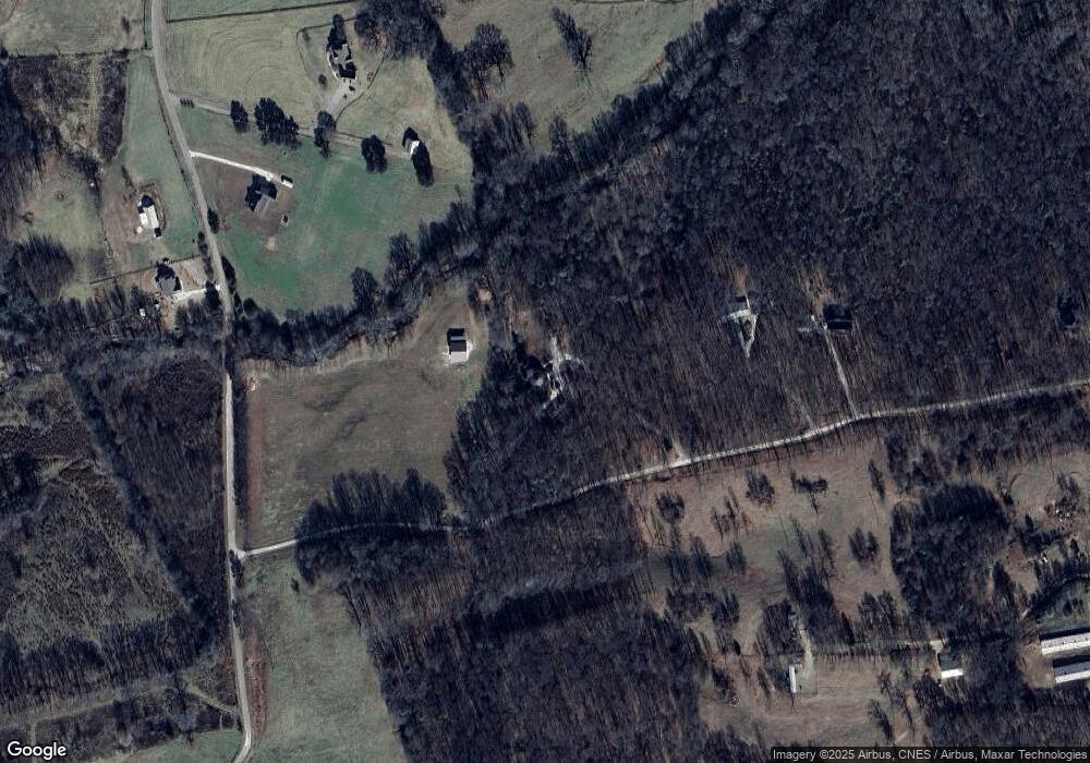
Map
Nearby Homes
- 24 Tomlin Way
- 7527 Highway 326
- 1020 Riverbend Rd
- 775 Riverbend Rd
- 166 Timberlane Dr
- 0 5 Points Rd
- 5591 Jot Em Down Rd
- 689 Riverside Ct
- 0-TRACT 3 Drake Woods Rd
- 0 Carson Rd Unit LOT 32 10594149
- 0 Carson Rd Unit 7640890
- 404 Haggard Dr
- 1679 Fort Lamar Rd
- 163 M t Trail
- 1065 Hebron Rd
- 1000 Nails Creek Crossing
- 743 Blacks Creek Church Rd
- 139 Meadow Lake Dr
- 161 Meadow Lake Dr
- 731 Borders Rd
- 280 Dunneden Dr
- 0 Davis Farm Rd Unit 7319980
- 0 Davis Farm Rd Unit 7514973
- 0 Davis Farm Rd Unit 8100433
- 0 Davis Farm Rd Unit 967990
- 0 Davis Farms Rd Unit 8872330
- 0 Davis Farms Rd Unit 8763193
- 0 Davis Farms Rd Unit 56219
- 0 Davis Farms Rd Unit 53172
- 10 Davis Farms Rd Unit A
- 10A Davis Farms Rd
- 1 Davis Farms Rd
- 0 Davis Farms Rd Unit 8550820
- 0 Davis Farms Rd
- 170 Dunneden Dr
- 273 Davis Farms Dr
- 239 Davis Farms Dr
- 239 Davis Farms Rd
- 360 Davis Farms Dr
- 110 Dunneden Dr