470 E Cook Rd Mansfield, OH 44903
Estimated Value: $141,000 - $497,000
4
Beds
1
Bath
2,217
Sq Ft
$124/Sq Ft
Est. Value
About This Home
This home is located at 470 E Cook Rd, Mansfield, OH 44903 and is currently estimated at $275,081, approximately $124 per square foot. 470 E Cook Rd is a home with nearby schools including St. Peter's Elementary/Montessori School, St. Peter's High School/Junior High, and Mansfield Christian School.
Ownership History
Date
Name
Owned For
Owner Type
Purchase Details
Closed on
Nov 16, 2022
Sold by
Frontz Kathy D
Bought by
Kathy D Frontz Revocable Living Trust
Current Estimated Value
Purchase Details
Closed on
Sep 2, 2022
Sold by
Frontz Kathy D
Bought by
Kathy D Frontz Revocable Living Trust
Purchase Details
Closed on
Oct 1, 1985
Bought by
Frontz Gilbert M
Create a Home Valuation Report for This Property
The Home Valuation Report is an in-depth analysis detailing your home's value as well as a comparison with similar homes in the area
Home Values in the Area
Average Home Value in this Area
Purchase History
| Date | Buyer | Sale Price | Title Company |
|---|---|---|---|
| Kathy D Frontz Revocable Living Trust | -- | -- | |
| Kathy D Frontz Revocable Living Trust | -- | None Listed On Document | |
| Kathy D Frontz Revocable Living Trust | $125 | -- | |
| Kathy D Frontz Revocable Living Trust | $125 | None Listed On Document | |
| Frontz Gilbert M | $44,900 | -- |
Source: Public Records
Tax History Compared to Growth
Tax History
| Year | Tax Paid | Tax Assessment Tax Assessment Total Assessment is a certain percentage of the fair market value that is determined by local assessors to be the total taxable value of land and additions on the property. | Land | Improvement |
|---|---|---|---|---|
| 2024 | $1,685 | $51,400 | $12,240 | $39,160 |
| 2023 | $1,685 | $51,400 | $12,240 | $39,160 |
| 2022 | $800 | $26,930 | $11,540 | $15,390 |
| 2021 | $800 | $26,930 | $11,540 | $15,390 |
| 2020 | $808 | $26,930 | $11,540 | $15,390 |
| 2019 | $693 | $22,820 | $9,780 | $13,040 |
| 2018 | $686 | $22,820 | $9,780 | $13,040 |
| 2017 | $673 | $22,820 | $9,780 | $13,040 |
| 2016 | $642 | $21,850 | $9,290 | $12,560 |
| 2015 | $642 | $21,850 | $9,290 | $12,560 |
| 2014 | $627 | $21,850 | $9,290 | $12,560 |
| 2012 | $515 | $23,000 | $9,780 | $13,220 |
Source: Public Records
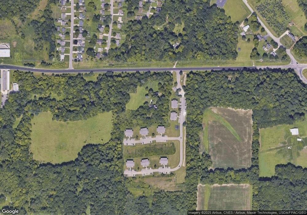
Map
Nearby Homes
- 794 Mansfield Washington Rd
- 716 Mansfield Washington Rd
- 405 Plainview Ave
- 0 Woodville Rd Unit Lot 14952, 14953
- 0 Woodville Rd Unit Lot 14954, 14955
- 0 Woodville Rd Unit Lot 14956, 14957,
- 33 Rambleside Dr
- 413 Ruby Ave
- 419 Pearl Ave
- 369 Davidson St
- 430 Beethoven St
- 350 Davidson St
- 519 S Diamond St
- 104 Elmridge Rd
- 136 Elmridge Rd
- 153 Ford St
- 65 Logan Rd
- 84 W Raleigh Ave
- 353 Home Ave
- 305 Home Ave
- 475 E Cook Rd
- 881 Brownwood Rd
- 905 Cecilwood Dr
- 873 Brownwood Rd
- 899 Cecilwood Dr
- 886 Brownwood Rd
- 891 Cecilwood Dr
- 918 Cecilwood Dr
- 867 Brownwood Rd
- 876 Brownwood Rd
- 885 Cecilwood Dr
- 861 Brownwood Rd
- 912 Cecilwood Rd
- 912 Cecilwood Dr
- 879 Cecilwood Dr
- 906 Cecilwood Dr
- 900 Cecilwood Dr
- 855 Brownwood Rd
- 864 Brownwood Rd
- 871 Cecilwood Dr