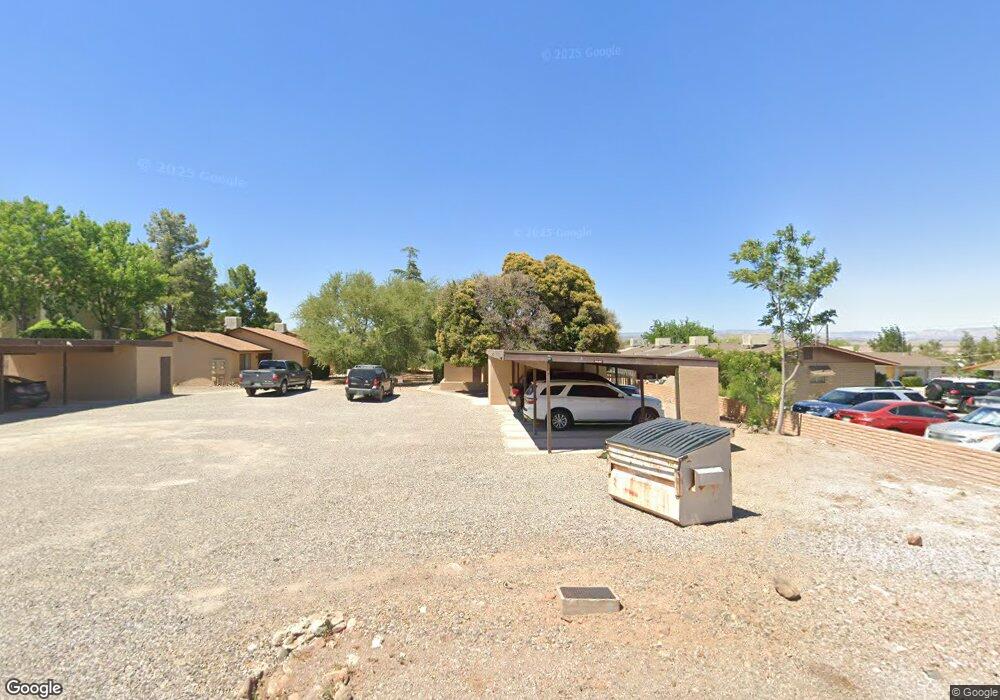
470 E Date St Unit 3 Cottonwood, AZ 86326
Cottonwood NeighborhoodEstimated Value: $459,000 - $608,000
Studio
--
Bath
2,493
Sq Ft
$201/Sq Ft
Est. Value
About This Home
This home is located at 470 E Date St Unit 3, Cottonwood, AZ 86326 and is currently estimated at $500,104, approximately $200 per square foot. 470 E Date St Unit 3 is a home located in Yavapai County with nearby schools including Dr Daniel Bright Elementary School, Cottonwood Elementary School, and Cottonwood Community School.
Ownership History
Date
Name
Owned For
Owner Type
Purchase Details
Closed on
Dec 22, 2010
Sold by
Thieme Leroy
Bought by
Thieme Leroy
Current Estimated Value
Purchase Details
Closed on
Nov 10, 2005
Sold by
Watkins Barbara J
Bought by
Thieme Leroy
Home Financials for this Owner
Home Financials are based on the most recent Mortgage that was taken out on this home.
Original Mortgage
$175,000
Outstanding Balance
$94,493
Interest Rate
5.9%
Mortgage Type
Seller Take Back
Estimated Equity
$405,611
Purchase Details
Closed on
Dec 6, 2004
Sold by
Evartt Barbara J and Watkins Barbara J
Bought by
Not Provided
Purchase Details
Closed on
Apr 22, 1999
Sold by
Whittaker Brenda L
Bought by
Evartt Barbara J
Purchase Details
Closed on
May 27, 1994
Sold by
Whittaker Brenda Lee
Bought by
Whittaker Brenda L
Create a Home Valuation Report for This Property
The Home Valuation Report is an in-depth analysis detailing your home's value as well as a comparison with similar homes in the area
Home Values in the Area
Average Home Value in this Area
Purchase History
| Date | Buyer | Sale Price | Title Company |
|---|---|---|---|
| Thieme Leroy | -- | None Available | |
| Thieme Leroy | $255,000 | Arizona Title Agency Inc | |
| Not Provided | -- | -- | |
| Evartt Barbara J | $147,500 | First American Title | |
| Whittaker Brenda L | -- | -- |
Source: Public Records
Mortgage History
| Date | Status | Borrower | Loan Amount |
|---|---|---|---|
| Open | Thieme Leroy | $175,000 |
Source: Public Records
Map
Nearby Homes
- 743 S 3rd Dr
- 301 E Cottonwood Dr
- 260 Boulder Ln
- 912 S 6th St
- 652 Silver Springs Cir
- 910 S Tigres Trail
- 706 S 2nd St
- 623 S 3rd St
- 615 Silver Springs Cir
- 601 Clover Way Unit 7
- 9 E Crimson Rd Unit Lot 18
- 5 W Cottonwood St Unit 23
- 1161 S 10th St
- 641 S Willard St
- 1191 S Vista Grande Dr
- 1203 S Settlers Cir
- 208 W Whipple Dr
- 325 W Scenic Route 89a Unit 40
- 1151 E State Route 89a --
- 1000 S 12th St
Your Personal Tour Guide
Ask me questions while you tour the home.