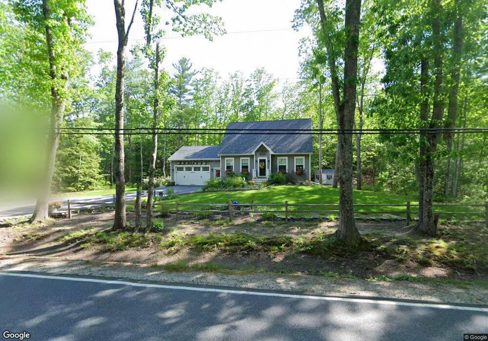
470 Flag Pond Rd Saco, ME 04072
North Saco NeighborhoodEstimated Value: $566,000 - $631,000
3
Beds
2
Baths
1,768
Sq Ft
$340/Sq Ft
Est. Value
About This Home
This home is located at 470 Flag Pond Rd, Saco, ME 04072 and is currently estimated at $601,485, approximately $340 per square foot. 470 Flag Pond Rd is a home located in York County with nearby schools including C K Burns School and Saco Middle School.
Ownership History
Date
Name
Owned For
Owner Type
Purchase Details
Closed on
May 15, 2015
Sold by
Kerrmez Development Llc
Bought by
Mcgeehan Patricia M and Mcgeehan John J
Current Estimated Value
Home Financials for this Owner
Home Financials are based on the most recent Mortgage that was taken out on this home.
Original Mortgage
$220,800
Outstanding Balance
$172,048
Interest Rate
4%
Mortgage Type
New Conventional
Estimated Equity
$429,437
Purchase Details
Closed on
Nov 3, 2014
Sold by
Johnson Marion R
Bought by
Kerrmez Development Llc
Create a Home Valuation Report for This Property
The Home Valuation Report is an in-depth analysis detailing your home's value as well as a comparison with similar homes in the area
Home Values in the Area
Average Home Value in this Area
Purchase History
| Date | Buyer | Sale Price | Title Company |
|---|---|---|---|
| Mcgeehan Patricia M | -- | -- | |
| Kerrmez Development Llc | -- | -- |
Source: Public Records
Mortgage History
| Date | Status | Borrower | Loan Amount |
|---|---|---|---|
| Open | Mcgeehan Patricia M | $220,800 |
Source: Public Records
Tax History Compared to Growth
Tax History
| Year | Tax Paid | Tax Assessment Tax Assessment Total Assessment is a certain percentage of the fair market value that is determined by local assessors to be the total taxable value of land and additions on the property. | Land | Improvement |
|---|---|---|---|---|
| 2024 | $6,785 | $482,900 | $147,400 | $335,500 |
| 2023 | $7,123 | $482,900 | $147,400 | $335,500 |
| 2022 | $6,342 | $346,000 | $112,200 | $233,800 |
| 2021 | $6,128 | $324,600 | $100,900 | $223,700 |
| 2020 | $5,746 | $292,100 | $88,800 | $203,300 |
| 2019 | $5,661 | $292,100 | $88,800 | $203,300 |
| 2018 | $5,504 | $284,000 | $80,700 | $203,300 |
| 2017 | $5,074 | $261,800 | $73,700 | $188,100 |
| 2016 | $4,595 | $236,600 | $56,100 | $180,500 |
| 2015 | $4,503 | $234,300 | $56,100 | $178,200 |
| 2014 | $1,069 | $57,400 | $57,400 | $0 |
| 2013 | $771 | $41,500 | $41,500 | $0 |
Source: Public Records
Map
Nearby Homes
- 436 Flag Pond Rd
- 9 Jada Dr
- 110/009 Mast Hill Rd
- 5 Marguerite Rd
- 295 Buxton Rd
- Lot 1 & 2 Memory Ln
- 3 Nonesuch Rd
- 130 Mckenney Rd
- Lot 2 TBD Bobby Ave
- 74 Hearn Rd
- lot 3 June Dr
- lot 2 June Dr
- 75 Ash Swamp Rd
- 4 Spool St Unit 101
- 158 Lord Rd
- 91 C Broadturn Rd
- 224 New County Rd
- 177 Old Orchard Rd
- 0 Beech Plains Rd
- 37 Douglas Ave
- 466 Flag Pond Rd
- 462 Flag Pond Rd
- 478 Flag Pond Rd
- 474 Flag Pond Rd
- 456 Flag Pond Rd
- 484 Flag Pond Rd
- 452 Flag Pond Rd
- 453 Flag Pond Rd
- 461 Flag Pond Rd
- 489 Flag Pond Rd
- 490 Flag Pond Rd
- 495 Flag Pond Rd
- 449 Flag Pond Rd
- 494 Flag Pond Rd
- 448 Flag Pond Rd
- 492 Flag Pond Rd
- 499 Flag Pond Rd
- 4 Prior Cir
- 445 Flag Pond Rd
- 442 Flag Pond Rd