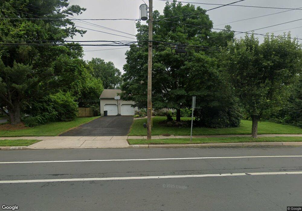
470 Flock Rd Trenton, NJ 08619
University City NeighborhoodEstimated Value: $492,027 - $578,000
--
Bed
--
Bath
1,745
Sq Ft
$311/Sq Ft
Est. Value
About This Home
This home is located at 470 Flock Rd, Trenton, NJ 08619 and is currently estimated at $542,757, approximately $311 per square foot. 470 Flock Rd is a home located in Mercer County with nearby schools including University Heights/H.D. Morrison Elementary School, Richard C. Crockett Middle School, and Nottingham High School - North.
Ownership History
Date
Name
Owned For
Owner Type
Purchase Details
Closed on
Jan 8, 2013
Sold by
Turner Michael R and Turner Debra A
Bought by
Turner Debra A
Current Estimated Value
Home Financials for this Owner
Home Financials are based on the most recent Mortgage that was taken out on this home.
Original Mortgage
$232,500
Outstanding Balance
$161,809
Interest Rate
3.39%
Mortgage Type
New Conventional
Estimated Equity
$380,948
Purchase Details
Closed on
May 28, 1996
Sold by
Wilbert Brothers Developer
Bought by
Turner Michael and Turner Debra
Home Financials for this Owner
Home Financials are based on the most recent Mortgage that was taken out on this home.
Original Mortgage
$173,000
Interest Rate
7.98%
Mortgage Type
Purchase Money Mortgage
Create a Home Valuation Report for This Property
The Home Valuation Report is an in-depth analysis detailing your home's value as well as a comparison with similar homes in the area
Home Values in the Area
Average Home Value in this Area
Purchase History
| Date | Buyer | Sale Price | Title Company |
|---|---|---|---|
| Turner Debra A | -- | Midlantic Title | |
| Turner Michael | $182,500 | -- |
Source: Public Records
Mortgage History
| Date | Status | Borrower | Loan Amount |
|---|---|---|---|
| Open | Turner Debra A | $232,500 | |
| Closed | Turner Michael | $173,000 |
Source: Public Records
Tax History Compared to Growth
Tax History
| Year | Tax Paid | Tax Assessment Tax Assessment Total Assessment is a certain percentage of the fair market value that is determined by local assessors to be the total taxable value of land and additions on the property. | Land | Improvement |
|---|---|---|---|---|
| 2025 | $9,758 | $276,900 | $73,400 | $203,500 |
| 2024 | $9,146 | $276,900 | $73,400 | $203,500 |
| 2023 | $9,146 | $276,900 | $73,400 | $203,500 |
| 2022 | $9,002 | $276,900 | $73,400 | $203,500 |
| 2021 | $9,866 | $276,900 | $73,400 | $203,500 |
| 2020 | $8,869 | $276,900 | $73,400 | $203,500 |
| 2019 | $8,653 | $276,900 | $73,400 | $203,500 |
| 2018 | $8,551 | $276,900 | $73,400 | $203,500 |
| 2017 | $8,368 | $276,900 | $73,400 | $203,500 |
| 2016 | $7,487 | $276,900 | $73,400 | $203,500 |
| 2015 | $8,729 | $183,800 | $56,800 | $127,000 |
| 2014 | $8,604 | $183,800 | $56,800 | $127,000 |
Source: Public Records
Map
Nearby Homes
- 414 Flock Rd
- 18 Wolfpack Rd
- 20 Moro Dr
- 95 Terrill Ave
- 126 Cooney Ave
- 583 Edinburg Rd Unit MER
- 35 Wesleyan Dr
- 7 Pinehurst Ct
- 10 Whitman Rd
- 542 Mercerville-Edinburg Rd
- 13 Blairmore Dr
- 924 Hughes Dr
- 14 Scalia Ct
- 397 Edinburg Rd Unit MER
- 26 Coral Dr
- 51 Macon Dr
- 10 Wolfpack Ct
- 245 Paxson Ave
- 238 Mcadoo Ave
- 250 Mcadoo Ave