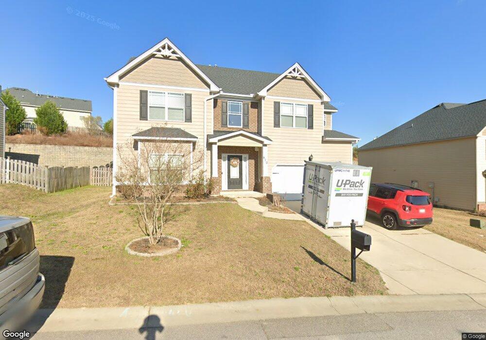
470 Henslowe Ln West Columbia, SC 29170
Edmund NeighborhoodEstimated Value: $381,000 - $417,000
4
Beds
3
Baths
3,120
Sq Ft
$128/Sq Ft
Est. Value
About This Home
This home is located at 470 Henslowe Ln, West Columbia, SC 29170 and is currently estimated at $398,103, approximately $127 per square foot. 470 Henslowe Ln is a home located in Lexington County with nearby schools including Saxe Gotha Elementary School, White Knoll Middle School, and White Knoll High School.
Ownership History
Date
Name
Owned For
Owner Type
Purchase Details
Closed on
Oct 17, 2014
Sold by
D R Horton Crown Llc
Bought by
Parker Lucas E
Current Estimated Value
Purchase Details
Closed on
May 8, 2014
Sold by
S C Pillon Homes Inc
Bought by
D R Horton Crown Llc
Create a Home Valuation Report for This Property
The Home Valuation Report is an in-depth analysis detailing your home's value as well as a comparison with similar homes in the area
Home Values in the Area
Average Home Value in this Area
Purchase History
| Date | Buyer | Sale Price | Title Company |
|---|---|---|---|
| Parker Lucas E | $229,000 | -- | |
| D R Horton Crown Llc | $723 | -- |
Source: Public Records
Tax History Compared to Growth
Tax History
| Year | Tax Paid | Tax Assessment Tax Assessment Total Assessment is a certain percentage of the fair market value that is determined by local assessors to be the total taxable value of land and additions on the property. | Land | Improvement |
|---|---|---|---|---|
| 2024 | $1,819 | $11,160 | $1,440 | $9,720 |
| 2023 | $1,666 | $11,160 | $1,440 | $9,720 |
| 2020 | $1,408 | $9,217 | $1,440 | $7,777 |
| 2019 | $1,424 | $9,160 | $1,440 | $7,720 |
| 2018 | $1,398 | $9,160 | $1,440 | $7,720 |
| 2017 | $1,356 | $9,160 | $1,440 | $7,720 |
| 2016 | $1,343 | $9,160 | $1,440 | $7,720 |
| 2014 | $244 | $558 | $558 | $0 |
| 2013 | -- | $0 | $0 | $0 |
Source: Public Records
Map
Nearby Homes
- 465 Henslowe Ln
- 504 Henslowe Ln
- 458 Laurel Mist Ln
- 450 Laurel Mist Ln
- 108 Laurel Hill Dr
- 114 Hickory Knob Ct
- 513 Wellmont Ct
- 420 Congaree Ridge Ct
- 227 Turnfield Dr
- 4974 Platt Springs Rd
- 154 Kyle Rd
- 2144 Scenic Dr
- 7044 and 7038 Platt Springs Rd
- 5017 & 5025 Platt Springs Rd
- 194 Eargle Dr
- 5119 Backman Ave
- 1307 Main St
- 113 Eagleview Dr
- 128 Sandy Springs Ln
- 139 Cross Rd
- 474 Henslowe Ln
- 466 Henslowe Ln
- 359 Ashburton Ln
- 355 Ashburton Ln
- 462 Henslowe Ln
- 367 Ashburton Ln
- 467 Henslowe Ln
- 471 Henslowe Ln
- 506 Moulton Way
- 475 Henslowe Ln
- 510 Moulton Way
- 371 Ashburton Ln
- 502 Moulton Way
- 458 Henslowe Ln
- 514 Moulton Way
- 459 Henslowe Ln
- 362 Ashburton Ln
- 358 Ashburton Ln
- 479 Henslowe Ln
- 322 Lake Frances Dr