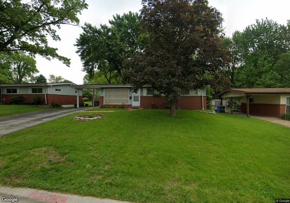
470 Larry Dr Florissant, MO 63033
Estimated Value: $150,000 - $177,000
3
Beds
2
Baths
1,040
Sq Ft
$156/Sq Ft
Est. Value
About This Home
This home is located at 470 Larry Dr, Florissant, MO 63033 and is currently estimated at $162,755, approximately $156 per square foot. 470 Larry Dr is a home located in St. Louis County with nearby schools including Duchesne Elementary School, Cross Keys Middle School, and McCluer North High School.
Ownership History
Date
Name
Owned For
Owner Type
Purchase Details
Closed on
Mar 25, 2009
Sold by
Parusa Llc
Bought by
Lastarria Kathleen
Current Estimated Value
Home Financials for this Owner
Home Financials are based on the most recent Mortgage that was taken out on this home.
Original Mortgage
$83,250
Outstanding Balance
$52,964
Interest Rate
5.14%
Mortgage Type
Purchase Money Mortgage
Estimated Equity
$109,791
Purchase Details
Closed on
Jan 11, 2002
Sold by
Federal Home Loan Mortgage Corporation
Bought by
Parusa Llc
Purchase Details
Closed on
Jun 28, 2001
Sold by
Stevens Michael J
Bought by
Federal Home Loan Mortgage Corporation
Create a Home Valuation Report for This Property
The Home Valuation Report is an in-depth analysis detailing your home's value as well as a comparison with similar homes in the area
Home Values in the Area
Average Home Value in this Area
Purchase History
| Date | Buyer | Sale Price | Title Company |
|---|---|---|---|
| Lastarria Kathleen | -- | None Available | |
| Parusa Llc | $61,900 | -- | |
| Federal Home Loan Mortgage Corporation | $74,484 | -- |
Source: Public Records
Mortgage History
| Date | Status | Borrower | Loan Amount |
|---|---|---|---|
| Open | Lastarria Kathleen | $83,250 |
Source: Public Records
Tax History Compared to Growth
Tax History
| Year | Tax Paid | Tax Assessment Tax Assessment Total Assessment is a certain percentage of the fair market value that is determined by local assessors to be the total taxable value of land and additions on the property. | Land | Improvement |
|---|---|---|---|---|
| 2025 | $1,727 | $28,100 | $4,330 | $23,770 |
| 2024 | $1,727 | $22,140 | $3,820 | $18,320 |
| 2023 | $1,936 | $24,990 | $3,820 | $21,170 |
| 2022 | $1,557 | $17,580 | $3,820 | $13,760 |
| 2021 | $1,531 | $17,580 | $3,820 | $13,760 |
| 2020 | $1,429 | $15,470 | $3,820 | $11,650 |
| 2019 | $1,401 | $15,470 | $3,820 | $11,650 |
| 2018 | $1,248 | $12,280 | $2,130 | $10,150 |
| 2017 | $1,241 | $12,280 | $2,130 | $10,150 |
| 2016 | $1,352 | $13,060 | $2,130 | $10,930 |
| 2015 | $1,360 | $13,060 | $2,130 | $10,930 |
| 2014 | $1,566 | $15,580 | $3,570 | $12,010 |
Source: Public Records
Map
Nearby Homes
- 505 Ridge Dr
- 2240 Brook Dr
- 1965 Saint Catherine St
- 2340 Saint Catherine St
- 675 Pimlico Dr
- 12 Country Ln
- 785 Bobbins Ln
- 765 Pimlico Dr
- 2505 Saint Catherine St
- 750 Robinwood Dr
- 1290 Saint Louis St
- 1030 Robinwood Dr
- 1040 Bluefield Dr
- 13 Bayberry Ln
- 629 Aubuchon St
- 805 Derhake Rd
- 1130 Saint Francois St
- 2020 Washington St Unit 707
- 150 Saint Daniel Ln
- 1200 Bluefield Dr
- 490 Larry Dr
- 460 Larry Dr
- 500 Larry Dr
- 440 Larry Dr
- 465 Saint Edward Ln
- 485 Saint Edward Ln
- 455 Saint Edward Ln
- 495 Saint Edward Ln
- 465 Larry Dr
- 510 Larry Dr
- 435 Saint Edward Ln
- 430 Larry Dr
- 455 Larry Dr
- 485 Larry Dr
- 435 Larry Dr
- 495 Larry Dr
- 505 Saint Edward Ln
- 425 Saint Edward Ln
- 425 St Edward Ln
- 520 Larry Dr