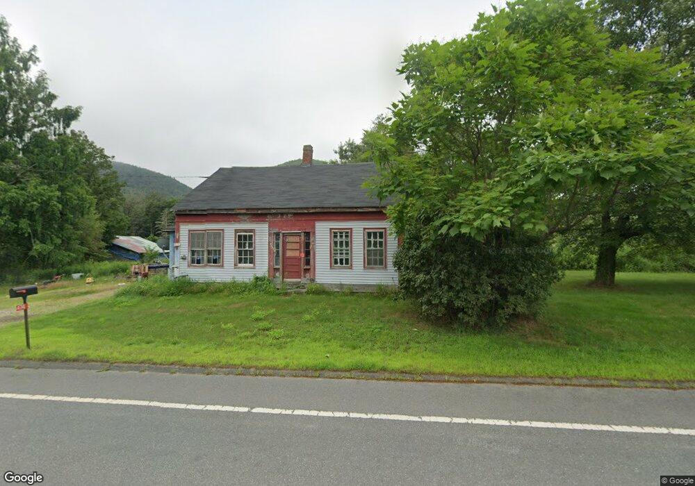
470 Long Plain Rd Leverett, MA 01054
Estimated Value: $628,000 - $774,000
4
Beds
3
Baths
3,988
Sq Ft
$174/Sq Ft
Est. Value
About This Home
This home is located at 470 Long Plain Rd, Leverett, MA 01054 and is currently estimated at $692,231, approximately $173 per square foot. 470 Long Plain Rd is a home located in Franklin County with nearby schools including Leverett Elementary School, Amherst Regional Middle School, and Amherst Regional High School.
Ownership History
Date
Name
Owned For
Owner Type
Purchase Details
Closed on
Mar 20, 2003
Sold by
Bryant Funding T
Bought by
Roberts Richard H
Current Estimated Value
Home Financials for this Owner
Home Financials are based on the most recent Mortgage that was taken out on this home.
Original Mortgage
$60,892
Interest Rate
5.9%
Mortgage Type
Purchase Money Mortgage
Create a Home Valuation Report for This Property
The Home Valuation Report is an in-depth analysis detailing your home's value as well as a comparison with similar homes in the area
Home Values in the Area
Average Home Value in this Area
Purchase History
| Date | Buyer | Sale Price | Title Company |
|---|---|---|---|
| Roberts Richard H | $70,000 | -- |
Source: Public Records
Mortgage History
| Date | Status | Borrower | Loan Amount |
|---|---|---|---|
| Open | Roberts Richard H | $63,000 | |
| Closed | Roberts Richard H | $50,000 | |
| Closed | Roberts Richard H | $60,892 |
Source: Public Records
Tax History
| Year | Tax Paid | Tax Assessment Tax Assessment Total Assessment is a certain percentage of the fair market value that is determined by local assessors to be the total taxable value of land and additions on the property. | Land | Improvement |
|---|---|---|---|---|
| 2025 | $9,411 | $619,965 | $98,365 | $521,600 |
| 2024 | $9,089 | $578,165 | $98,365 | $479,800 |
| 2023 | $9,034 | $563,930 | $112,330 | $451,600 |
| 2022 | $7,827 | $415,430 | $106,630 | $308,800 |
| 2021 | $7,883 | $399,528 | $101,628 | $297,900 |
| 2020 | $4,766 | $433,659 | $104,359 | $329,300 |
| 2019 | $8,871 | $424,659 | $95,359 | $329,300 |
| 2018 | $8,886 | $422,159 | $95,359 | $326,800 |
| 2017 | $8,844 | $422,159 | $95,359 | $326,800 |
| 2016 | $11,058 | $541,800 | $220,500 | $321,300 |
| 2015 | $10,771 | $541,800 | $220,500 | $321,300 |
Source: Public Records
Map
Nearby Homes
- 435 Montague Rd
- 66 Cave Hill Rd
- 0 N Leverett Unit 73499764
- 35 A N Leverett Rd
- 10 Hannabrooke Dr
- 118 N Leverett Rd
- 27 West St
- 24 Union St
- 0 Dudleyville Rd
- 10 Depot Rd
- 0 Pocumtuck Dr Unit 73379330
- 100 Depot Rd
- 534-536 Turners Falls Rd
- 18 Stage Rd
- 37 River Rd
- 113 Juggler Meadow Rd
- 208 Greenfield Rd
- 27 January Hills Rd
- 14 Sugarloaf St
- 355 Greenfield Rd
- 462 Long Plain Rd
- 00 Long Plain Rd
- 474 Long Plain Rd
- 457 Long Plain Rd
- 481 Long Plain Rd
- 473 Long Plain Rd
- 0 Long Plain Rd
- 483 Long Plain Rd
- 475 Long Plain Rd
- 452 Long Plain Rd
- 301 Montague Rd
- 487 Long Plain Rd
- 446 Long Plain Rd
- 438 Long Plain Rd
- 11 Jackson Hill Rd
- 4 Jackson Hill Rd
- 436 Long Plain Rd
- 434 Long Plain Rd
- 8 Jackson Hill Rd
- 430 Long Plain Rd
Your Personal Tour Guide
Ask me questions while you tour the home.