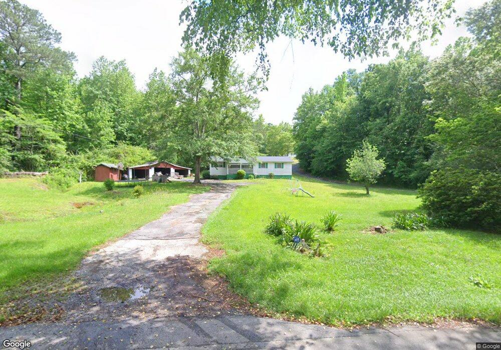
470 Old Brent Rd Forsyth, GA 31029
Estimated Value: $106,892 - $218,000
--
Bed
1
Bath
1,146
Sq Ft
$138/Sq Ft
Est. Value
About This Home
This home is located at 470 Old Brent Rd, Forsyth, GA 31029 and is currently estimated at $157,723, approximately $137 per square foot. 470 Old Brent Rd is a home located in Monroe County with nearby schools including Samuel E. Hubbard Elementary School, Mary Persons High School, and Lighthouse Academy.
Ownership History
Date
Name
Owned For
Owner Type
Purchase Details
Closed on
Oct 7, 2016
Sold by
Thelma
Bought by
Edge Thelma and Edge Warren Carla
Current Estimated Value
Purchase Details
Closed on
Jun 1, 2016
Sold by
Edge Fred
Bought by
Edge Thelma
Purchase Details
Closed on
Mar 12, 2015
Sold by
Edge Warren Carla
Bought by
Edge Thelma
Purchase Details
Closed on
Dec 30, 2014
Sold by
Edge Thelma
Bought by
Moore Deborah and Edge Warren Carla
Purchase Details
Closed on
Mar 25, 1997
Sold by
Edge Thelma
Bought by
Edge Fred
Purchase Details
Closed on
Nov 21, 1970
Sold by
Edge Fred
Bought by
Edge Thelma
Create a Home Valuation Report for This Property
The Home Valuation Report is an in-depth analysis detailing your home's value as well as a comparison with similar homes in the area
Home Values in the Area
Average Home Value in this Area
Purchase History
| Date | Buyer | Sale Price | Title Company |
|---|---|---|---|
| Edge Thelma | -- | -- | |
| Edge Thelma | -- | -- | |
| Edge Thelma | -- | -- | |
| Moore Deborah | -- | -- | |
| Edge Fred | -- | -- | |
| Edge Thelma | -- | -- |
Source: Public Records
Tax History Compared to Growth
Tax History
| Year | Tax Paid | Tax Assessment Tax Assessment Total Assessment is a certain percentage of the fair market value that is determined by local assessors to be the total taxable value of land and additions on the property. | Land | Improvement |
|---|---|---|---|---|
| 2024 | $337 | $24,480 | $6,920 | $17,560 |
| 2023 | $262 | $21,680 | $6,920 | $14,760 |
| 2022 | $262 | $21,680 | $6,920 | $14,760 |
| 2021 | $271 | $21,680 | $6,920 | $14,760 |
| 2020 | $278 | $21,680 | $6,920 | $14,760 |
| 2019 | $280 | $21,680 | $6,920 | $14,760 |
| 2018 | $281 | $21,680 | $6,920 | $14,760 |
| 2017 | $630 | $21,680 | $6,920 | $14,760 |
| 2016 | $599 | $21,680 | $6,920 | $14,760 |
| 2015 | $568 | $21,680 | $6,920 | $14,760 |
| 2014 | -- | $21,680 | $6,920 | $14,760 |
Source: Public Records
Map
Nearby Homes
- 289 Willis Wilder Dr
- 120 Willis Wilder Dr
- 60 Dew Place
- 299 Willis Wilder Dr
- 485 Mitchell Rd
- 394 Brookwood Dr
- 263 Martin Luther King jr Dr
- 507 W Main St
- S S Lee St
- 0 S Lee St Unit 10646818
- 333 W Main St
- 149 Presidents Way
- 84 Hillsdale Rd
- 397 Ensign Rd
- 656 Dolly Dr
- 101 E Chambers St
- 200 Indian Springs Dr
- 225 N Indian Springs Dr
- 3487 Georgia 42
- 3271 Georgia 42
- 450 Old Brent Rd
- 455 Old Brent Rd
- 480 Old Brent Rd
- 415 Old Brent Rd
- 31 Marshall Rd
- Lots1-3 Moreland Rd Unit 1-3
- 0 Moreland Rd Unit Lots 1-3 8490082
- 77 Moreland Rd
- 99 Moreland Rd
- 558 Old Brent Rd
- 115 Moreland Rd
- 115 Moreland Rd Unit 4172 WEST OAK DR
- 0 Old Brent Rd Unit 10469308
- 0 Old Brent Rd Unit 150122
- 0 Old Brent Rd Unit M159021
- 0 Old Brent Rd Unit 8928966
- 0 Old Brent Rd
- 574 Old Brent Rd
- 24 Marshall Rd
- 585 Old Brent Rd