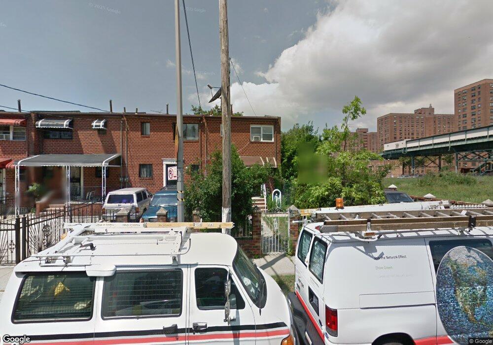
470 Powell St Brooklyn, NY 11212
Brownsville NeighborhoodEstimated Value: $564,321 - $623,000
Studio
--
Bath
1,116
Sq Ft
$531/Sq Ft
Est. Value
About This Home
This home is located at 470 Powell St, Brooklyn, NY 11212 and is currently estimated at $592,830, approximately $531 per square foot. 470 Powell St is a home located in Kings County with nearby schools including P.S. 150 - Christopher, P.S. 165 Ida Posner, and P.S. 156 Waverly.
Ownership History
Date
Name
Owned For
Owner Type
Purchase Details
Closed on
Apr 24, 2006
Sold by
Burgado Carmen M and Burgado Mary I
Bought by
Mccoy Lashonda and Mccoy Ronneil
Current Estimated Value
Home Financials for this Owner
Home Financials are based on the most recent Mortgage that was taken out on this home.
Original Mortgage
$74,000
Outstanding Balance
$42,241
Interest Rate
6.34%
Estimated Equity
$550,589
Create a Home Valuation Report for This Property
The Home Valuation Report is an in-depth analysis detailing your home's value as well as a comparison with similar homes in the area
Home Values in the Area
Average Home Value in this Area
Purchase History
| Date | Buyer | Sale Price | Title Company |
|---|---|---|---|
| Mccoy Lashonda | $370,000 | -- | |
| Mccoy Lashonda | $370,000 | -- |
Source: Public Records
Mortgage History
| Date | Status | Borrower | Loan Amount |
|---|---|---|---|
| Open | Mccoy Lashonda | $74,000 | |
| Closed | Mccoy Lashonda | $74,000 | |
| Open | Mccoy Lashonda | $296,000 | |
| Closed | Mccoy Lashonda | $296,000 |
Source: Public Records
Tax History
| Year | Tax Paid | Tax Assessment Tax Assessment Total Assessment is a certain percentage of the fair market value that is determined by local assessors to be the total taxable value of land and additions on the property. | Land | Improvement |
|---|---|---|---|---|
| 2025 | $4,318 | $38,220 | $16,320 | $21,900 |
| 2024 | $4,318 | $41,220 | $16,320 | $24,900 |
| 2023 | $4,366 | $36,420 | $16,320 | $20,100 |
| 2022 | $3,296 | $33,480 | $16,320 | $17,160 |
| 2021 | $3,273 | $25,860 | $16,320 | $9,540 |
| 2020 | $1,505 | $28,980 | $16,320 | $12,660 |
| 2019 | $2,784 | $24,000 | $16,320 | $7,680 |
| 2018 | $3,652 | $17,914 | $10,524 | $7,390 |
| 2017 | $3,624 | $17,778 | $12,242 | $5,536 |
| 2016 | $3,353 | $16,772 | $12,498 | $4,274 |
| 2015 | $2,023 | $15,823 | $10,005 | $5,818 |
| 2014 | $2,023 | $14,929 | $9,738 | $5,191 |
Source: Public Records
Map
Nearby Homes
- 502 Powell St
- 546 Powell St
- 699 Sackman St
- 533 Snediker Ave
- 592 Powell St
- 406 Hinsdale St
- 440 Blake Ave
- 797 Mother Gaston Blvd
- 578 Williams Ave
- 584 Hinsdale St
- 582 Williams Ave
- 589 Hinsdale St
- 555 Christopher Ave
- 606 Alabama Ave
- 610 Alabama Ave
- 578 Christopher Ave
- 650 Williams Ave
- 660 Williams Ave
- 560 Riverdale Ave
- 472 Sutter Ave
Your Personal Tour Guide
Ask me questions while you tour the home.