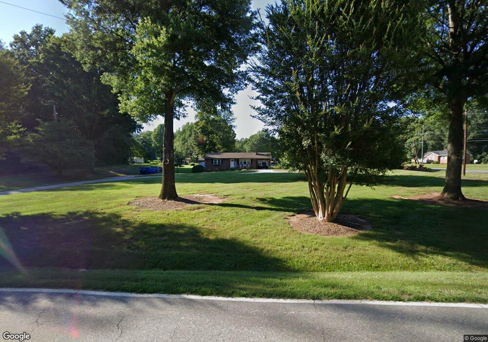
470 Robbins Rd Winston Salem, NC 27107
Estimated Value: $178,972 - $192,000
2
Beds
1
Bath
1,106
Sq Ft
$165/Sq Ft
Est. Value
About This Home
This home is located at 470 Robbins Rd, Winston Salem, NC 27107 and is currently estimated at $182,993, approximately $165 per square foot. 470 Robbins Rd is a home located in Forsyth County with nearby schools including Hall-Woodward Elementary School, Southeast Middle School, and R.B. Glenn High School.
Ownership History
Date
Name
Owned For
Owner Type
Purchase Details
Closed on
Nov 20, 2020
Sold by
Craddock Jackie L and Craddock Allison
Bought by
Craddock Jackie L and Craddock Allison
Current Estimated Value
Home Financials for this Owner
Home Financials are based on the most recent Mortgage that was taken out on this home.
Original Mortgage
$57,000
Interest Rate
2.8%
Mortgage Type
New Conventional
Purchase Details
Closed on
Jun 6, 2017
Sold by
Craddock Rebecca P
Bought by
Craddock Jackie L
Purchase Details
Closed on
Nov 8, 2005
Sold by
Craddock Jackie Lee
Bought by
Craddock Jackie Lee and Craddock Rebecca P
Create a Home Valuation Report for This Property
The Home Valuation Report is an in-depth analysis detailing your home's value as well as a comparison with similar homes in the area
Home Values in the Area
Average Home Value in this Area
Purchase History
| Date | Buyer | Sale Price | Title Company |
|---|---|---|---|
| Craddock Jackie L | -- | Bridge Trust Title Group | |
| Craddock Jackie L | -- | None Available | |
| Craddock Jackie Lee | -- | -- |
Source: Public Records
Mortgage History
| Date | Status | Borrower | Loan Amount |
|---|---|---|---|
| Closed | Craddock Jackie L | $57,000 |
Source: Public Records
Tax History Compared to Growth
Tax History
| Year | Tax Paid | Tax Assessment Tax Assessment Total Assessment is a certain percentage of the fair market value that is determined by local assessors to be the total taxable value of land and additions on the property. | Land | Improvement |
|---|---|---|---|---|
| 2025 | $1,112 | $137,700 | $25,200 | $112,500 |
| 2024 | $1,062 | $79,300 | $23,200 | $56,100 |
| 2023 | $1,062 | $79,300 | $23,200 | $56,100 |
| 2022 | $1,042 | $79,300 | $23,200 | $56,100 |
| 2021 | $1,023 | $79,300 | $23,200 | $56,100 |
| 2020 | $991 | $71,800 | $16,200 | $55,600 |
| 2019 | $999 | $71,800 | $16,200 | $55,600 |
| 2018 | $948 | $71,800 | $16,200 | $55,600 |
| 2016 | $796 | $60,535 | $16,240 | $44,295 |
| 2015 | $784 | $60,535 | $16,240 | $44,295 |
| 2014 | -- | $60,535 | $16,240 | $44,295 |
Source: Public Records
Map
Nearby Homes
- 3598 Robindale Dr
- 3471 Robindale Dr
- 3458 Robindale Dr
- Ashe Plan at Robindale
- Erie Plan at Robindale
- Camden Plan at Robindale
- Durham Plan at Robindale
- Avery Plan at Robindale
- Cary Plan at Robindale
- Carolina Plan at Robindale
- 3453 Robindale Dr
- 421 Robindale Ct
- 3447 Robindale Dr
- 3441 Robindale Dr
- 3435 Robindale Dr
- 3428 Robindale Dr
- 3422 Robindale Dr
- 3544 Landis St SE
- 3538 Landis St SE
- 3532 Landis St SE
- 023b Robindale Dr SE
- 466 Robbins Rd
- 3592 Robindale Dr
- 3595 Robindale Dr
- 464 Robbins Rd
- 3593 Robindale Dr
- 3588 Robindale Dr
- 502 Robbins Rd
- 510 Robbins Rd
- 0 Robbins Rd
- 3565 Robindale Dr
- 518 Robbins Rd
- 3580 Robindale Dr
- 524 Robbins Rd
- 0 Robindale Dr Unit 970828
- 528 Robbins Rd
- 578 Bedford Knoll Dr
- 579 Bedford Knoll Dr
- 572 Bedford Knoll Dr
- 3595 Landis St